
North Arm, Queensland
| North Arm Sunshine Coast, Queensland | |||||||||||||||
|---|---|---|---|---|---|---|---|---|---|---|---|---|---|---|---|
 North Arm | |||||||||||||||
| Coordinates | 26°30′56″S 152°57′16″E / 26.5155°S 152.9544°E | ||||||||||||||
| Population | 734 (SAL 2021)[1] | ||||||||||||||
| Postcode(s) | 4561 | ||||||||||||||
| Area | 22.7 km2 (8.8 sq mi) | ||||||||||||||
| Time zone | AEST (UTC+10:00) | ||||||||||||||
| LGA(s) | Sunshine Coast Region | ||||||||||||||
| State electorate(s) | |||||||||||||||
| Federal division(s) | Fairfax | ||||||||||||||
| |||||||||||||||
North Arm is a rural town and locality in the Sunshine Coast Region, Queensland, Australia.[2][3] In the 2021 census, the locality of North Arm had a population of 734 people.[4]
Geography[edit]

North Arm is in the Sunshine Coast hinterland. It takes its name from the North Maroochy River which flows through it.[5]
The Bruce Highway passes through the locality and town from south to north. The North Coast railway line runs beside and east of the highway with the town being served by North Arm railway station (26°31′06″S 152°57′18″E / 26.5184°S 152.9551°E).[5][6]
Gneering is a neighbourhood in the south-west of the locality (26°31′00″S 152°56′00″E / 26.5166°S 152.9333°E).[7]
History[edit]
.jpg)
The name North Arm refers to the district's proximity to the northern branch of the Maroochy River.[2]
Fairhill Provisional School opened on 27 July 1885. On 1 January 1909, it became Fairhill State School. In October 1915, it was renamed North Arm State School.[8][9]
In 1914, the North Arm Hall opened and remained a hub of community social life for 40 years, until it was destroyed by a cyclone in 1954 and was later rebuilt.
Brown's Creek State School opened on 29 January 1918 and closed on 23 August 1936.[8] This school was located on the south side of King Creek near its junction with Browns Creek, in the locality currently called Eerwah Vale.
Golden Valley State School opened on 27 August 1918. On 1 July 1940 it was renamed Valdora State School. In 1949 the school building was moved and renamed Yandina Creek State School. It closed on 7 August 1964.[8]
Demographics[edit]
In the 2016 census, the locality of North Arm had a population of 657 people.[10]
In the 2021 census, the locality of North Arm had a population of 734 people.[4]
Education[edit]
North Arm State School is a government primary (Prep-6) school for boys and girls at Cnr Fairhill & Yandina Creek Road (26°31′24″S 152°57′57″E / 26.5232°S 152.9657°E).[11][12] In 2018, the school had an enrolment of 351 students with 30 teachers (24 full-time equivalent) and 23 non-teaching staff (12 full-time equivalent).[13]
Amenities[edit]
North Arm has a forest reserve on the outskirts of town.
References[edit]
- ^ Australian Bureau of Statistics (28 June 2022). "North Arm (Qld) (suburb and locality)". Australian Census 2021 QuickStats. Retrieved 28 June 2022.
- ^ a b "North Arm – town in Sunshine Coast Region (entry 24574)". Queensland Place Names. Queensland Government. Retrieved 29 December 2020.
- ^ "North Arm – locality in Sunshine Coast Region (entry 49232)". Queensland Place Names. Queensland Government. Retrieved 29 December 2020.
- ^ a b Australian Bureau of Statistics (28 June 2022). "North Arm (SAL)". 2021 Census QuickStats. Retrieved 28 February 2023.
- ^ a b "Queensland Globe". State of Queensland. Retrieved 13 April 2017.
- ^ "Railway stations and sidings – Queensland". Queensland Open Data. Queensland Government. 2 October 2020. Archived from the original on 5 October 2020. Retrieved 5 October 2020.
- ^ "Gneering – locality unbounded in Sunshine Coast Regional (entry 14079)". Queensland Place Names. Queensland Government. Retrieved 2 October 2023.
- ^ a b c Queensland Family History Society (2010), Queensland schools past and present (Version 1.01 ed.), Queensland Family History Society, ISBN 978-1-921171-26-0
- ^ "History". North Arm State School. 9 March 2020. Archived from the original on 26 October 2023. Retrieved 22 November 2023.
- ^ Australian Bureau of Statistics (27 June 2017). "North Arm (SSC)". 2016 Census QuickStats. Retrieved 20 October 2018.
- ^ "State and non-state school details". Queensland Government. 9 July 2018. Archived from the original on 21 November 2018. Retrieved 21 November 2018.
- ^ "North Arm State School". North Arm State School. 15 October 2021. Archived from the original on 31 October 2023. Retrieved 22 November 2023.
- ^ "ACARA School Profile 2018". Australian Curriculum, Assessment and Reporting Authority. Archived from the original on 27 August 2020. Retrieved 28 January 2020.
Further reading[edit]
- Blyth, Audienne (2003). Streets and roads of Yandina & district : their history & origins : includes the localities of: Bridges, Cooloolabin, Kiamba, Kulangoor, Maroochy River, North Arm, Valdora and Yandina Creek. Audienne Blyth. ISBN 978-0-646-42982-3.
- Blyth, Audienne Desley (2009). Yandina & District : a pictorial history, including the localities of Bridges, Cooloolabin, Kiamba, Kulangoor, Maroochy River, North Arm, Valdora and Yandina Creek. The Author. ISBN 978-0-646-51739-1.
- North Arm State School : centenary 1985. The School. 1985 – via State Library of Queensland.
External links[edit]
- "Ninderry, North Arm, and Yandina Creek". Queensland Places. University of Queensland.
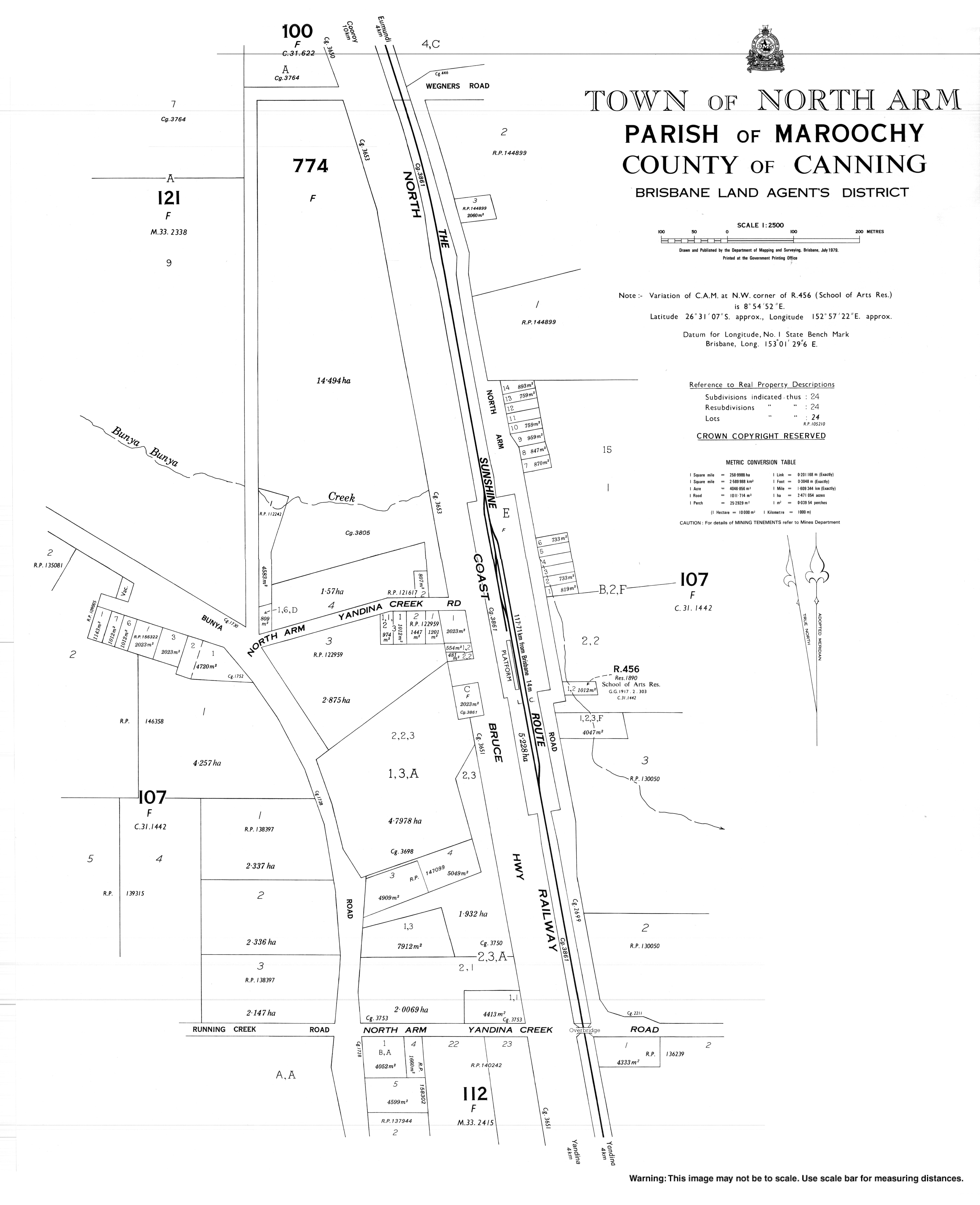
- "Town map of North Arm". Queensland Government. 1979.