
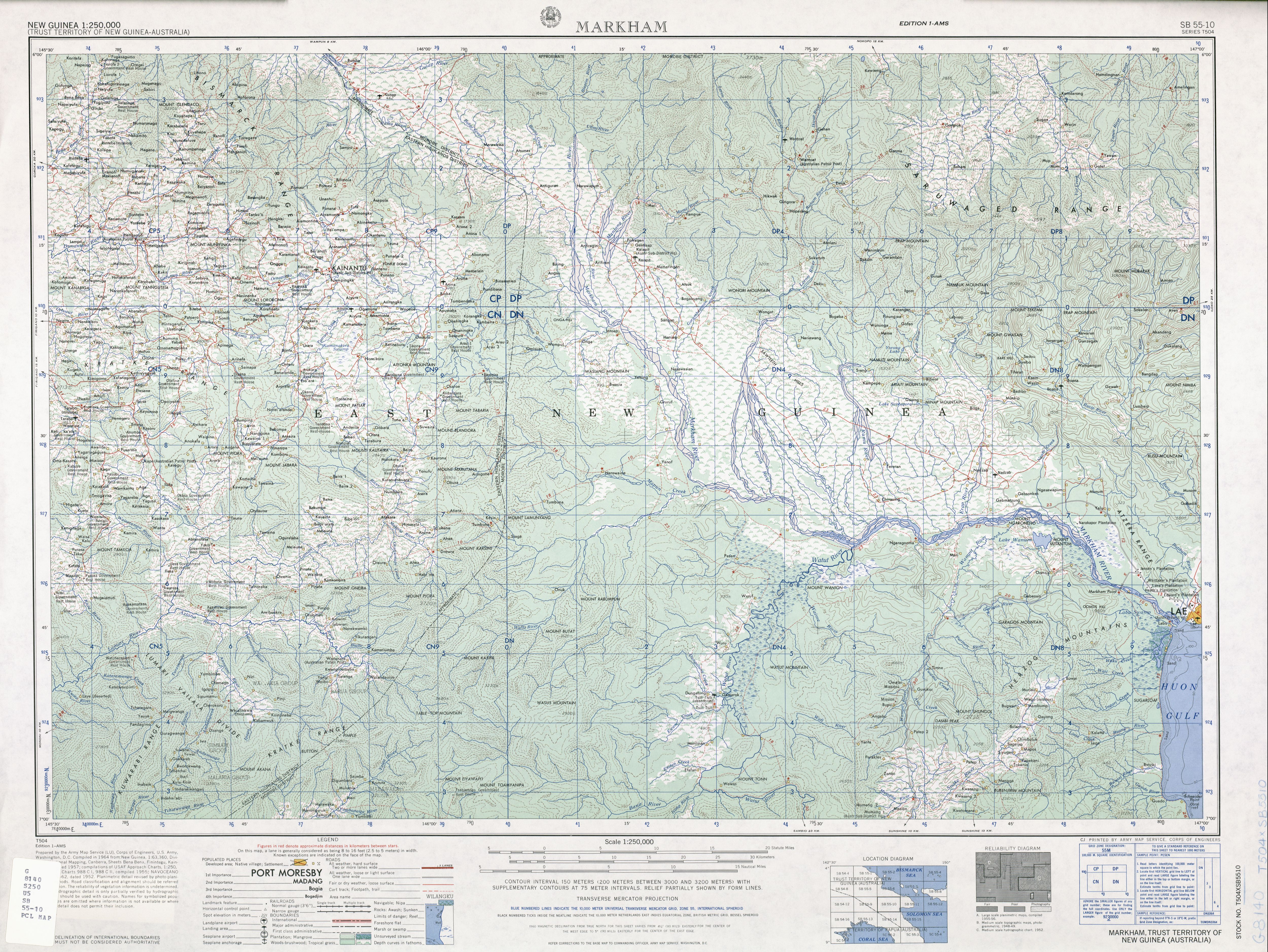
Kratke Range
This article needs additional citations for verification. (January 2021) |
| Kratke Range | |
|---|---|
 Kratke Range | |
| Highest point | |
| Elevation | 3,686 m (12,093 ft) |
| Geography | |
| State | Papua New Guinea |
| Range coordinates | 6°30′00″S 145°50′00″E / 6.5°S 145.8333333°E |
| Parent range | Island of New Guinea |
Kratke Range (German: Krätkegebirge) is a mountain range in Eastern Highlands, Papua New Guinea.[1] Several rivers, including Aziana, Yaiga, Lamari and Ramu originate in the mountains. Many endemic birds live in the mountains.
History[edit]
In November 1889, Hugo Zöller became the first European to enter the Kratke Range from the former German colony Kaiser-Wilhelmsland in German New Guinea during an expedition to the Finisterre Range. He then called it the Krätkegebirge, after the governor of German colony, Reinhold Kraetke (1845-1934). Kratke Range was only explored after the German colonial era at the beginning of the 1920s.
Geography[edit]
Kratke Range runs south of the Finisterre mountains on the other side of the river Markham and joins the Bismarck Range to the east. One of the peaks was called Zöllerberg after Hugo Zöller. The highest peak is the Mount Tabletop with 3.686 m height. The mountains are of volcanic origin and overgrown by tropical mountain rainforest. Above 3,000 m, alpine grasslands predominate. In the mountains live various endemic bird species, including for example the Modest tiger parrot.