User:Fadouss/sandbox
Fadous
فدعوس | |
|---|---|
Village | |
| Coordinates: 34°13′42.1″N 35°39′21.7″E / 34.228361°N 35.656028°E | |
| Country | |
| Governorate | North Governorate |
| District | Batroun District |
| Area | |
| • Total | 0.3 km2 (0.1 sq mi) |
| Population | |
| • Total | 750 |
| Time zone | UTC+2 (EET) |
| • Summer (DST) | UTC+3 (EEST) |
| Dialing code | +961 |
| Location | 2 kilometres (1.2 mi) south of Batroun, Lebanon |
|---|---|
| Region | North Governorate |
| Coordinates | 34°13′42″N 35°39′22″E / 34.2283070°N 35.6560692°E |
| Site notes | |
| Public access | Yes |

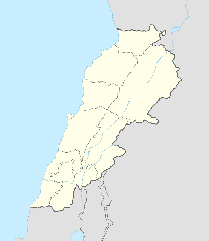
Fadous or Fadaous is a village located 2 kilometres (1.2 mi) south of Batroun in the Batroun District of North Governorate in Lebanon.[1] The part of the village in the north east is also known by the name of Kfar abida.
Archaeological sites[edit]
Tell Fadous[edit]
Tell Fadaous, Fadaous or Fadeous is a tell mound south west of Kfar Aabida that was first reported on by R. Wetzel and J. Haller in 1945 above the cemented beach deposits at 6 metres (20 ft).[2] A few Levallois flint flakes were found in part of the site on top of a dune.[3]
Fadous Sud[edit]
Fadous Sud or Fadaous Sud is a Heavy Neolithic site of the Qaraoun culture located south of the tell, some 300 metres (980 ft) south of the village. It was discovered by Maurice Tallon in 1957 between the sea and the road. The site was found to extend east of the road in 1966 by W.E. Wendt, when material was recovered and the site examined by Lorraine Copeland and Henri Fleisch . The large site covers the 400 metres (1,300 ft) either side of the main road up to the side of a wadi.[4]
Fadous Sud proved to be an enormous Heavy Neolithic flint factory site with finds forming a wide ranging assemblage in grey flint and cream chert that included large cores and flakes as well as scrapers, rabots, long blades, end scrapers, racloirs and a group of triangular flakes. Material from the beach had a whiter patina than that found nearer the road. The assemblage showed distinct similarities to that of the Heavy Neolithic type site at Qaraoun II and was classed as Neolithic.[4]
References[edit]
- ^ Robert Boulanger (1966). The Middle East, Lebanon, Syria, Jordan, Iraq, Iran, p. 178. Hachette. Retrieved 9 July 2012.
- ^ Wetzel, R. & Haller, J., Le Quartinaire de la région de Tripoli. Notes et Mémoires de la Délégation Générale de France au Liban. Section Géologique, No. 4, Beirut, 1945.
- ^ Lorraine Copeland; P. Wescombe (1965). Inventory of Stone-Age sites in Lebanon, p. 85,. Imprimerie Catholique. Retrieved 21 July 2011.
- ^ a b L. Copeland; P. Wescombe (1966). Inventory of Stone-Age Sites in Lebanon: North, South and East-Central Lebanon, p. 158. Impr. Catholique. Retrieved 3 March 2011.
Documentation of a Partly Bulldozed Tell]
Batroun Category:Mediterranean port cities and towns in Lebanon Category:Populated coastal places in Lebanon Batroun Category:Archaeological sites in Lebanon


