User:CROIX/John Hughes
John Hughes | |
|---|---|
Village | |
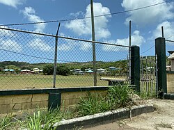
 John Hughes in June 2023 | |
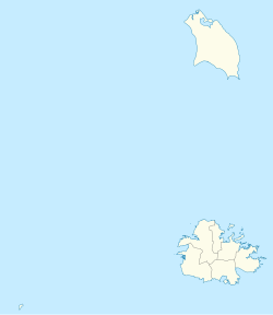
| Coordinates: 17°02′56″N 61°48′29″W / 17.04889°N 61.80806°W | |
| Country | Antigua and Barbuda |
| Civil parish | Saint Mary Parish |
| Major division | Old Road |
| Time zone | UTC-4 (AST) |
John Hughes is a village in Saint Mary, Antigua and Barbuda. John Hughes is located in the southwest of Antigua, about three kilometres from the coastline, and is located within the Shekerley Mountains. John Hughes is isolated from the rest of the parish by the mountains, and is more connected with the parish of Saint Paul rather than the rest of the parish. The village is primarily located on the scenic Fig Tree Drive, with Swetes to the east, and Old Road to the southwest. John Hughes is home to a primary school, and Anglican, Baptist, Methodist, and Seventh-Day Adventist churches. The John Hughes Sports Club operates a playing field.

