
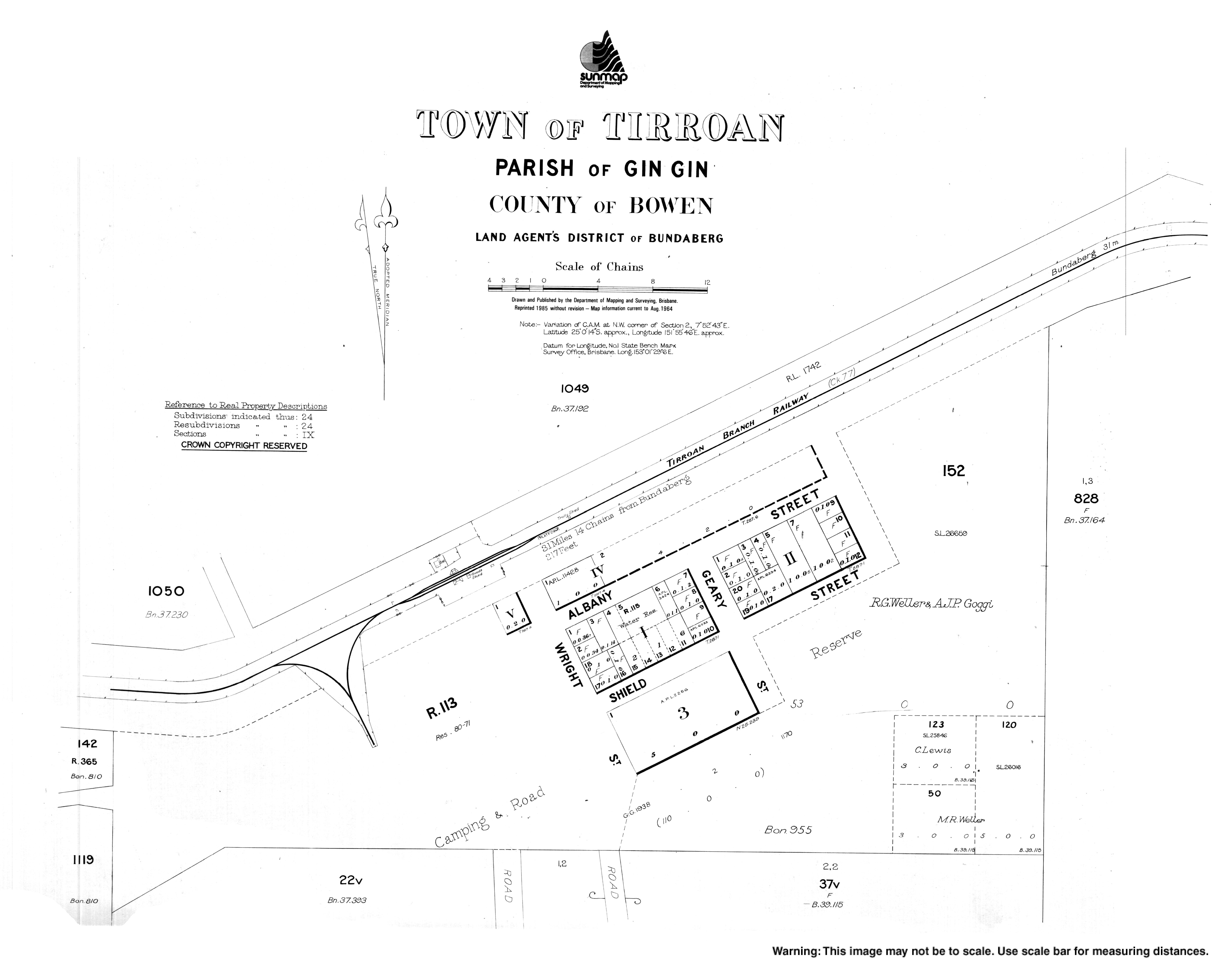
Tirroan
| Tirroan Queensland | |||||||||||||||
|---|---|---|---|---|---|---|---|---|---|---|---|---|---|---|---|
 Tirroan | |||||||||||||||
| Coordinates | 25°00′07″S 151°55′46″E / 25.0019°S 151.9294°E | ||||||||||||||
| Population | 150 (SAL 2021)[1] | ||||||||||||||
| Postcode(s) | 4671 | ||||||||||||||
| Area | 14.5 km2 (5.6 sq mi) | ||||||||||||||
| Time zone | AEST (UTC+10:00) | ||||||||||||||
| Location | |||||||||||||||
| LGA(s) | Bundaberg Region | ||||||||||||||
| State electorate(s) | Callide | ||||||||||||||
| Federal division(s) | Flynn | ||||||||||||||
| |||||||||||||||
Tirroan is a rural town and a locality in the Bundaberg Region, Queensland, Australia.[2][3] In the 2021 census, the locality of Tirroan had a population of 150 people.[4]
History[edit]
The name Tirroan comes from the title of the first British pastoral property set up in the region, which was established by Gregory Blaxland Jnr and William Forster in 1848.[5] It is possible that it is derived from the name of an Aboriginal stockman on this run, who later died of tuberculosis in 1880.[2] The town itself was initially known as West Albany but the name was changed on 3 August 1899.[2][6]
Watawa Provisional School opened on 9 February 1885 and was renamed Tirroan Provisional School in 1908. On 1 January 1909, it became Tirroan State School. It closed on 10 August 1956.[7] It was on the eastern side of St Kilda Road (approx 25°01′22″S 151°55′28″E / 25.02277°S 151.92454°E).[8][9]
Demographics[edit]
In the 2016 census, the locality of Tirroan had a population of 165 people.[10]
In the 2021 census, the locality of Tirroan had a population of 150 people.[4]
Education[edit]
There are no schools in Tirroan. The nearest government primary and secondary schools are Gin Gin State School and Gin Gin State High School, both in neighbouring Gin Gin to the north-east.[11]
References[edit]
- ^ Australian Bureau of Statistics (28 June 2022). "Tirroan (suburb and locality)". Australian Census 2021 QuickStats. Retrieved 28 June 2022.
- ^ a b c "Tirroan – town in Bundaberg Region (entry 47320)". Queensland Place Names. Queensland Government. Retrieved 28 December 2017.
- ^ "Tirroan – locality in Bundaberg Region (entry 44803)". Queensland Place Names. Queensland Government. Retrieved 28 December 2017.
- ^ a b Australian Bureau of Statistics (28 June 2022). "Tirroan (SAL)". 2021 Census QuickStats. Retrieved 28 February 2023.
- ^ Laurie, Arthur. "Early Gin Gin and the Blaxland Tragedy" (PDF). University of Queensland Library. Retrieved 16 October 2018.
- ^ Queensland Government Gazette, 12 August 1899, page 428.
- ^ Queensland Family History Society (2010), Queensland schools past and present (Version 1.01 ed.), Queensland Family History Society, ISBN 978-1-921171-26-0
- ^ "Wocla" (Map). Queensland Government. 1942. Retrieved 20 July 2023.
- ^ "Queensland Two Mile series sheet 2m157" (Map). Queensland Government. 1952. Retrieved 20 July 2023.
- ^ Australian Bureau of Statistics (27 June 2017). "Tirroan (SSC)". 2016 Census QuickStats. Retrieved 20 October 2018.
- ^ "Queensland Globe". State of Queensland. Retrieved 20 July 2023.
Further reading[edit]
- Gin Gin State School centenary book, 1882-1982 : including the history of Watawa, Dalysford, Takilberan Rock, New Moonta, Boolboonda, Cumonju, Tirroan, Moolboolaman, Redbank Gully, Ferry Hills, Gaeta, Gin Gin State School P. & C. Association, 1982