
Talk:Jefferson Highway
| This article is rated Start-class on Wikipedia's content assessment scale. It is of interest to the following WikiProjects: | |||||||||||||||||||||||||||||||||||||||||
| |||||||||||||||||||||||||||||||||||||||||


Untitled[edit]
Louisiana details: [1]
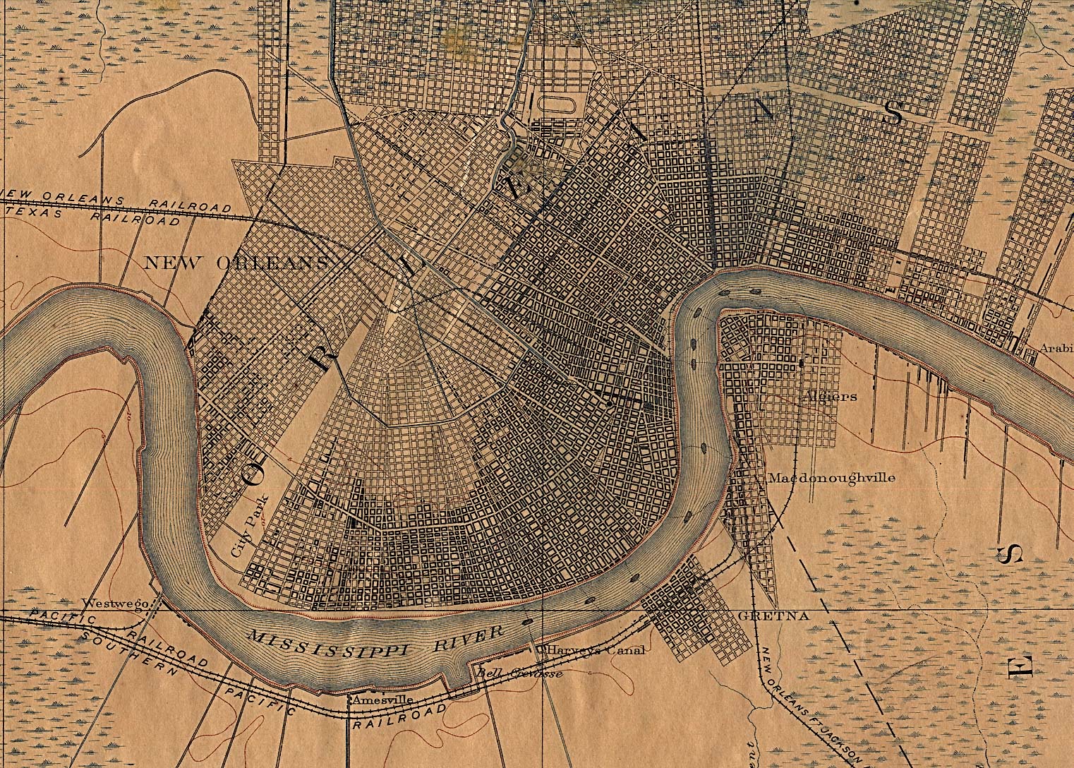
In NO it began Canal Street and Metairie Road ([2]) but then how to LA 48? In 1891 you had to turn at Labarre Road. --SPUI (T - C - RFC) 09:14, 11 May 2006 (UTC)
- [3], which appears to be from 1932, includes a description, but is from after the Airline Highway opened and thus doesn't help answer the above question. I'll summarize it anyway:
- Originally it followed SR 1 all the way. By 1932 it had been moved to Broad Street, Tulane Avenue, Airline Highway to Prairieville, SR 1 (now LA 73) to Baton Rouge, SR 7 (now US 190?) to west of Krotz Springs, SR 1252 (now US 71) to Lebeau, SR 1 (now US 71) to Alexandria, bridge under construction in 1932 (at Fort Buhlow?) to Pineville, SR 1 (now US 71) to Clarence, SR 10 (now US 71) to Bossier City, SR 4 (now US 80?) to Shreveport, and SR 1 (now US 80) to Texas.
- Per the newsgroup posting linked above, the old Jefferson Highway and SR 1 used LA 76, LA 77, and LA 10 between Baton Rouge and Lebeau and LA 6, LA 120, LA 175, and US 171 between Clarence and Shreveport. --NE2 19:37, 2 June 2007 (UTC)
Map[edit]
Very disappointing that there is no map showing the path of the JH. Unschool 01:09, 24 June 2018 (UTC)
Categories:
- Start-Class U.S. auto trail articles
- Low-importance U.S. auto trail articles
- Start-Class Road transport articles
- Low-importance Road transport articles
- U.S. auto trail articles
- Wikipedia requested maps of U.S. auto trails
- U.S. auto trail articles needing KML
- Start-Class U.S. road transport articles
- Low-importance U.S. road transport articles
- U.S. road transport articles
- Start-Class United States articles
- Low-importance United States articles
- Start-Class United States articles of Low-importance
- Start-Class Louisiana articles
- Low-importance Louisiana articles
- WikiProject Louisiana articles
- Start-Class New Orleans articles
- Low-importance New Orleans articles
- WikiProject New Orleans articles
- WikiProject United States articles