
Sudak Bay
| Sudak Bay | |
|---|---|
 | |
.jpg) Sudak Bay | |
| Location | Black Sea |
| Coordinates | 44°49′N 34°59′E / 44.817°N 34.983°E |
| Ocean/sea sources | Atlantic Ocean |
| Basin countries | Russia/Ukraine |
| Max. length | 4 km (2.5 mi) |
| Max. width | 12 km (7.5 mi) |
| Average depth | 50 m (160 ft) |
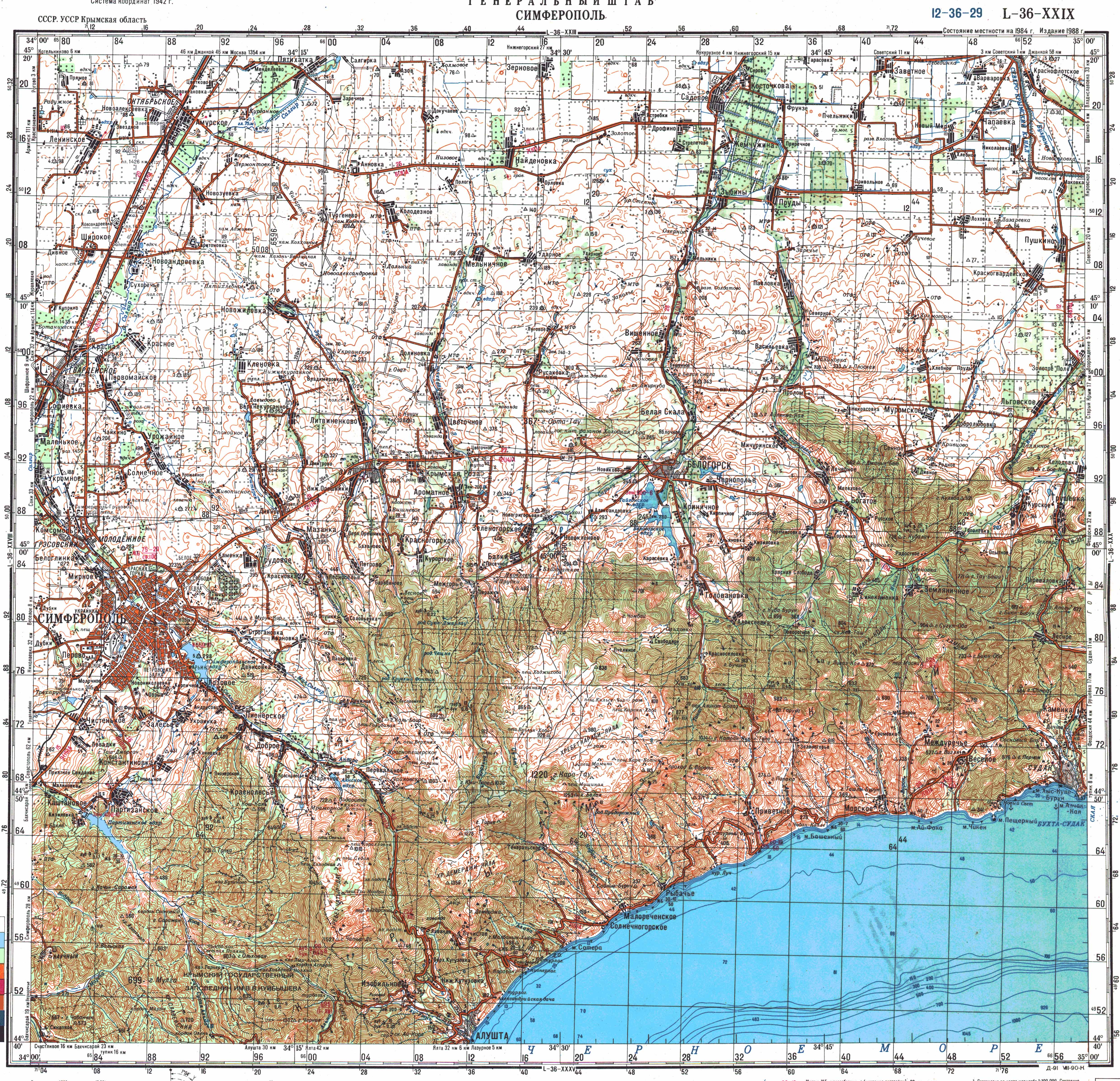
Sudak Bay (Russian: Судакская бухта, Ukrainian: Судацька бухта, Crimean Tatar: Sudaq körfezi, Судакъ корьфези) is a bay in the Black Sea near Sudak, Crimea.[1][2]
References[edit]
- ^ Soviet military map L-36-29 (1:200,000)
- ^ "Судакская бухта". Brockhaus and Efron Encyclopedic Dictionary: In 86 Volumes (82 Volumes and 4 Additional Volumes). St. Petersburg. 1890–1907.
{{cite book}}: CS1 maint: location missing publisher (link)
This Black Sea-related article is a stub. You can help Wikipedia by expanding it. |