
Pennsylvania Route 465
Pennsylvania Route 465 | ||||
|---|---|---|---|---|
 | ||||
| Route information | ||||
| Maintained by PennDOT | ||||
| Length | 6.644 mi[1] (10.692 km) | |||
| Existed | 1961–present | |||
| Major junctions | ||||
| South end | ||||
| North end | ||||
| Location | ||||
| Country | United States | |||
| State | Pennsylvania | |||
| Counties | Cumberland | |||
| Highway system | ||||
| ||||

Pennsylvania Route 465 (PA 465) is a 6.64-mile-long (10.69 km) state highway located in Cumberland County, Pennsylvania. The southern terminus is at PA 174 in Mooredale. The northern terminus is at PA 641 outside of Carlisle. PA 465 heads northeast from PA 174 along Walnut Bottom Road, passing through farmland. The route reaches developed areas on the western edge of Carlisle and turns north onto Allen Road, intersecting Interstate 81 (I-81) and U.S. Route 11 (US 11) before ending at PA 641. Walnut Bottom Road became part of US 11 and PA 13 in 1926, with the latter designation removed two years later. US 11 and PA 33 switched alignments between Shippensburg and Carlisle in 1941, with PA 33 designated onto Walnut Bottom Road. PA 465 was designated to its present alignment in the 1960s, replacing the PA 33 designation along Walnut Bottom Road.
Route description[edit]
_at_U.S._Route_11_(Ritner_Highway)_in_Carlisle,_Cumberland_County,_Pennsylvania.jpg)
PA 465 begins at an intersection with PA 174 in the community of Mooredale in Dickinson Township, heading northeast on two-lane undivided Walnut Bottom Road. The road passes through open agricultural areas with occasional patches of woods. Upon crossing into South Middleton Township, the route turns north onto Allen Road and heads past industrial warehouses. PA 465 comes to an interchange with I-81 and continues into the borough of Carlisle, passing woods to the west and warehouses to the east. The route intersects US 11 and passes near farmland and distribution centers. After entering North Middleton Township, PA 465 reaches its northern terminus at PA 641.[2][3]
History[edit]
When Pennsylvania legislated routes in 1911, Walnut Bottom Road was designated as part of Legislative Route 35, which ran between Chambersburg and Carlisle.[4] By 1926, PA 13 was designated along Walnut Bottom Road, which was paved.[5] With the creation of the U.S. Highway System in 1926, US 11 was designated along Walnut Bottom Road, concurrent with PA 13.[6][7] The concurrent PA 13 designation was removed from US 11 in 1928.[7] In 1941, US 11 switched alignments with PA 33 between Shippensburg and Carlisle, with US 11 moved to its current alignment between the two towns and PA 33 being designated onto Walnut Bottom Road.[8][9] In the 1960s, PA 33 was decommissioned and PA 465 was designated to run from PA 174 in Mooredale north to PA 641 west of Carlisle, following its current alignment on Walnut Bottom Road and Allen Road.[10]
Major intersections[edit]
The entire route is in Cumberland County.
| Location | mi[1] | km | Destinations | Notes | |
|---|---|---|---|---|---|
| Dickinson Township | 0.000 | 0.000 | Southern terminus | ||
| South Middleton Township | 5.440 | 8.755 | Exit 44 (I-81) | ||
| Carlisle | 5.916 | 9.521 | |||
| North Middleton Township | 6.644 | 10.692 | Northern terminus | ||
| 1.000 mi = 1.609 km; 1.000 km = 0.621 mi | |||||
See also[edit]
References[edit]
- ^ a b Bureau of Maintenance and Operations (January 2015). Roadway Management System Straight Line Diagrams (Report) (2015 ed.). Pennsylvania Department of Transportation. Retrieved June 30, 2015.
- Cumberland County (PDF)
- ^ Google (May 15, 2011). "overview of Pennsylvania Route 465" (Map). Google Maps. Google. Retrieved May 15, 2011.
- ^ Cumberland County, Pennsylvania Highway Map (PDF) (Map). PennDOT. 2011. Archived from the original (PDF) on June 8, 2011. Retrieved May 15, 2011.
- ^ Map of Pennsylvania Showing State Highways (PDF) (Map). Pennsylvania Department of Highways. 1911. Archived from the original (PDF) on July 5, 2011. Retrieved January 1, 2014.
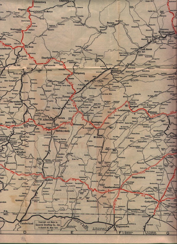
- ^ Atlantic Road Map Pennsylvania Delaware (Map). Cartography by General Drafting. Atlantic Gasoline. 1926. Retrieved December 15, 2015.
- ^ Bureau of Public Roads & American Association of State Highway Officials (November 11, 1926). United States System of Highways Adopted for Uniform Marking by the American Association of State Highway Officials (Map). 1:7,000,000. Washington, DC: United States Geological Survey. OCLC 32889555. Retrieved November 7, 2013 – via Wikimedia Commons.
- ^ a b Map of Pennsylvania (Map). Pennsylvania Department of Highways. 1928. Retrieved May 7, 2015.
- ^ "Local Road Route Changes Affect Harrisburg Drivers". The Evening News. Harrisburg, PA. June 20, 1941. p. 18. Retrieved August 14, 2015 – via Newspapers.com.

- ^ Official Road Map of Pennsylvania (PDF) (Map). Pennsylvania Department of Highways. 1950. Archived from the original (PDF) on July 5, 2011. Retrieved January 1, 2014.
- ^ Official Map of Pennsylvania (PDF) (Map). Pennsylvania Department of Highways. 1970. Archived from the original (PDF) on July 5, 2011. Retrieved December 17, 2014.