
Koumala, Queensland
| Koumala Queensland | |||||||||||||||
|---|---|---|---|---|---|---|---|---|---|---|---|---|---|---|---|
 Koumala State School, 2022 | |||||||||||||||
 Koumala | |||||||||||||||
| Coordinates | 21°36′32″S 149°14′44″E / 21.6088°S 149.2455°E | ||||||||||||||
| Population | 831 (2016 census)[1] | ||||||||||||||
| • Density | 0.9986/km2 (2.5863/sq mi) | ||||||||||||||
| Postcode(s) | 4738 | ||||||||||||||
| Area | 832.2 km2 (321.3 sq mi) | ||||||||||||||
| Time zone | AEST (UTC+10:00) | ||||||||||||||
| Location | |||||||||||||||
| LGA(s) | Mackay Region | ||||||||||||||
| State electorate(s) | Mirani | ||||||||||||||
| Federal division(s) | Capricornia | ||||||||||||||
| |||||||||||||||
Koumala is a rural town and coastal locality in the Mackay Region, Queensland, Australia.[2][3] In the 2016 census, the locality of Koumala had a population of 831 people.[1]
Geography[edit]
In the east, Cape Palmerston National Park protects the landscape surrounding Mount Funnel and Cape Palmerston. To the west is the Hatfield Range known locally are the Koumala Range. A gravel road over this range provides alternate access to the Sarina hinterland and was the only route available for several years after the paved route over the Sarina range was destroyed by landslides that occurred during Cyclone Debbie.[4] The main rail line between the Bowen Basin coal mines and the port of Hay Point also passes over this range with speed restricted to 60 kilometres per hour (37 mph) on the downhill section of line,[5] because of several derailments which have occurred in this section of track.[6][7]
There are a number of neighbourhoods within the locality, including:
- Inneston (21°33′13″S 149°14′12″E / 21.5536°S 149.2366°E)[8]
- Karremal (21°38′00″S 149°17′00″E / 21.6333°S 149.2833°E)[9]
- Kelvin (21°32′00″S 149°17′00″E / 21.5333°S 149.2833°E)[10]
- Koumala South (21°39′00″S 149°14′00″E / 21.65°S 149.2333°E)[11]
- Loloma (21°35′00″S 149°14′00″E / 21.5833°S 149.2333°E)[12]
Yukan railway station is located at 21°31′02″S 149°13′57″E / 21.5172°S 149.2325°E.[13]
Etymology[edit]
The town name Koumala originally derives from the name of its railway station, which was named in 1914 after a sugar property used by Alfred H. Burbank, a sugar grower and surveyor, using a Fijian word meaning sweet potato.[2]
The neighbourhood name Inneston comes from the Inneston railway station, which was named by the Queensland Railways Department on 25 November 1911 after Alexander (Alex) Innes (6 April 1866 - 24 August 1948). Innes was the chairman of Plane Creek Sugar Mill in the late 1890s and again for 36 years from 1911 and also the chairman of Sarina Shire Council in 1912 and in 1920.[8]
The neighbourhood name Karremal comes from the Karremal railway station, which was named on16 December 1920. It is an Aboriginal word meaning heat.[9]
The neighbourhood name Loloma comes from the Loloma railway station, named on 19 November 1914.[12]
The name Yukan is an Aboriginal word meaning rain.[13]
History[edit]
British colonisation at Koumala began in the early 1860s when Mark Millet Christian established the Kelvin Grove pastoral farming station.[14] In 1867, after some Aboriginal people had speared cattle at this pastoral lease, the Native Police troopers chased members of the clan to some islands offshore and when they tried to return to the mainland "such a lesson was administered" to keep them from "committing outrages in that locality".[15]
Koumala Post Office opened on 28 February 1884.[16]
The town was part of the former Shire of Sarina.
Koumala State School opened in August 1922.[17][18] The railway goods shed and associated huts doubled for school purposes from 1922 to 1923 when a proper school house was built, as well as for social functions until a hall was built.[19]
Yukan State School opened on 1929 and closed circa 1942.[20]
On Sunday 30 May 1954, the Catholic Church of the Holy Family was officially opened by Bishop Andrew Gerard Tynan.[21] It has now closed. It was at 18-20 Graham Street (21°36′35″S 149°14′41″E / 21.6098°S 149.2448°E). The church building is still extant.[22][23]
At the 2011 census, the locality of Koumala had a population of 789.[24]
In the 2016 census, the locality of Koumala had a population of 831 people.[1]
Heritage listings[edit]

Koumala has a number of heritage-listed sites, including:
Education[edit]
Koumala State School is a government primary (Prep-6) school for boys and girls at Bull Street (21°36′25″S 149°14′36″E / 21.6070°S 149.2433°E).[26][27] In 2018, the school had an enrolment of 114 students with 8 teachers (6 full-time equivalent) and 8 non-teaching staff (5 full-time equivalent).[28]
There is no secondary school in Koumala. The nearest secondary school is Sarina State High School in neighbouring Sarina to the north.[29]
Amenities[edit]

The Mackay Regional Council operates a mobile library service on a fortnightly schedule at Bull Street near the school.[30][31]
The Koumala branch of the Queensland Country Women's Association meets at the CWA Hall at 33 Brown Street (21°36′27″S 149°14′42″E / 21.6074°S 149.2451°E).[32][33]
References[edit]
- ^ a b c Australian Bureau of Statistics (27 June 2017). "Koumala (SSC)". 2016 Census QuickStats. Retrieved 20 October 2018.
- ^ a b "Koumala – town in Mackay Region (entry 18520)". Queensland Place Names. Queensland Government. Retrieved 27 December 2020.
- ^ "Koumala – locality in Mackay Region (entry 49120)". Queensland Place Names. Queensland Government. Retrieved 27 December 2020.
- ^ "Cyclone Debbie: Critical road that suffered 'almost biblical' damage reopens after 18 months of work". ABC News. 9 October 2019. Archived from the original on 2 December 2018. Retrieved 19 January 2019.
- ^ "Goonyella System Information Pack, Version 10" (PDF). Aurizon. March 2017. Archived (PDF) from the original on 11 March 2019. Retrieved 19 January 2019.
- ^ "Derailment of Coal Train EG37, Connors Range" (PDF). ATSB. 1 July 2001. Archived (PDF) from the original on 14 February 2014. Retrieved 19 January 2019.
- ^ "Derailment closes coal rail system". 27 December 2010. Archived from the original on 20 January 2019. Retrieved 19 January 2019.
- ^ a b "Inneston – locality unbounded in Mackay Regional (entry 16730)". Queensland Place Names. Queensland Government. Retrieved 27 December 2020.
- ^ a b "Karremal – locality unbounded in Mackay Regional (entry 17774)". Queensland Place Names. Queensland Government. Retrieved 27 December 2020.
- ^ "Kelvin – locality unbounded in Mackay Regional (entry 17905)". Queensland Place Names. Queensland Government. Retrieved 27 December 2020.
- ^ "Koumala South – locality unbounded in Mackay Regional (entry 18523)". Queensland Place Names. Queensland Government. Retrieved 27 December 2020.
- ^ a b "Loloma – locality unbounded in Mackay Regional (entry 19934)". Queensland Place Names. Queensland Government. Retrieved 27 December 2020.
- ^ a b "Yukan – railway station in Mackay Region (entry 38772)". Queensland Place Names. Queensland Government. Retrieved 18 January 2020.
- ^ "Coast pioneers". Daily Mercury. Vol. 61, no. 4739. Queensland, Australia. 7 January 1928. p. 6. Archived from the original on 23 April 2022. Retrieved 2 November 2020 – via National Library of Australia.
- ^ "Telegraphic". The Brisbane Courier. Vol. XXII, no. 3, 145. Queensland, Australia. 9 November 1867. p. 4. Archived from the original on 23 April 2022. Retrieved 11 June 2018 – via National Library of Australia.
- ^ Phoenix Auctions History. "Post Office List". Phoenix Auctions. Archived from the original on 23 April 2022. Retrieved 23 February 2021.
- ^ "Opening and closing dates of Queensland Schools". Queensland Government. Retrieved 18 April 2019.
- ^ "Koumala State School". Archived from the original on 4 February 2017. Retrieved 31 January 2017.
- ^ "Koumala". Centre for the Government of Queensland. 2018. Archived from the original on 19 January 2019. Retrieved 19 January 2019.
- ^ Queensland Family History Society (2010), Queensland schools past and present (Version 1.01 ed.), Queensland Family History Society, ISBN 978-1-921171-26-0
- ^ "DOMESTIC WATER SUPPLY IRREGULAR AT SARINA". Daily Mercury. Vol. 88, no. 133. Queensland, Australia. 5 June 1954. p. 6. Archived from the original on 23 April 2022. Retrieved 23 April 2022 – via National Library of Australia.
- ^ "Church of the Holy Family Catholic Church- Former". Churches Australia. Archived from the original on 23 April 2022. Retrieved 23 April 2022.
- ^ Google (23 April 2022). "Catholic Church of the Holy Family (former)" (Map). Google Maps. Google. Retrieved 23 April 2022.
- ^ Australian Bureau of Statistics (31 October 2012). "Koumala". 2011 Census QuickStats. Retrieved 11 July 2013.
- ^ "Koumala War Memorial (entry 601292)". Queensland Heritage Register. Queensland Heritage Council. Retrieved 10 July 2013.
- ^ "State and non-state school details". Queensland Government. 9 July 2018. Archived from the original on 21 November 2018. Retrieved 21 November 2018.
- ^ "Koumala State School". Koumala State School. 12 December 2019. Archived from the original on 1 April 2020. Retrieved 23 April 2022.
- ^ "ACARA School Profile 2018". Australian Curriculum, Assessment and Reporting Authority. Archived from the original on 27 August 2020. Retrieved 28 January 2020.
- ^ "Queensland Globe". State of Queensland. Retrieved 22 February 2021.
- ^ "Libraries: Contact/Opening Hours". Mackay Regional Council. Archived from the original on 1 March 2016. Retrieved 28 April 2017.
- ^ "Mobile Library Timetable 2017" (PDF). Mackay Regional Council. Archived from the original (PDF) on 1 March 2017. Retrieved 8 May 2017.
- ^ "Branch Locations". Queensland Country Women's Association. Archived from the original on 26 December 2018. Retrieved 26 December 2018.
- ^ Google (23 April 2022). "Koumala CWA Hall" (Map). Google Maps. Google. Retrieved 23 April 2022.
External links[edit]
- "Koumala". Queensland Places. Centre for the Government of Queensland, University of Queensland.
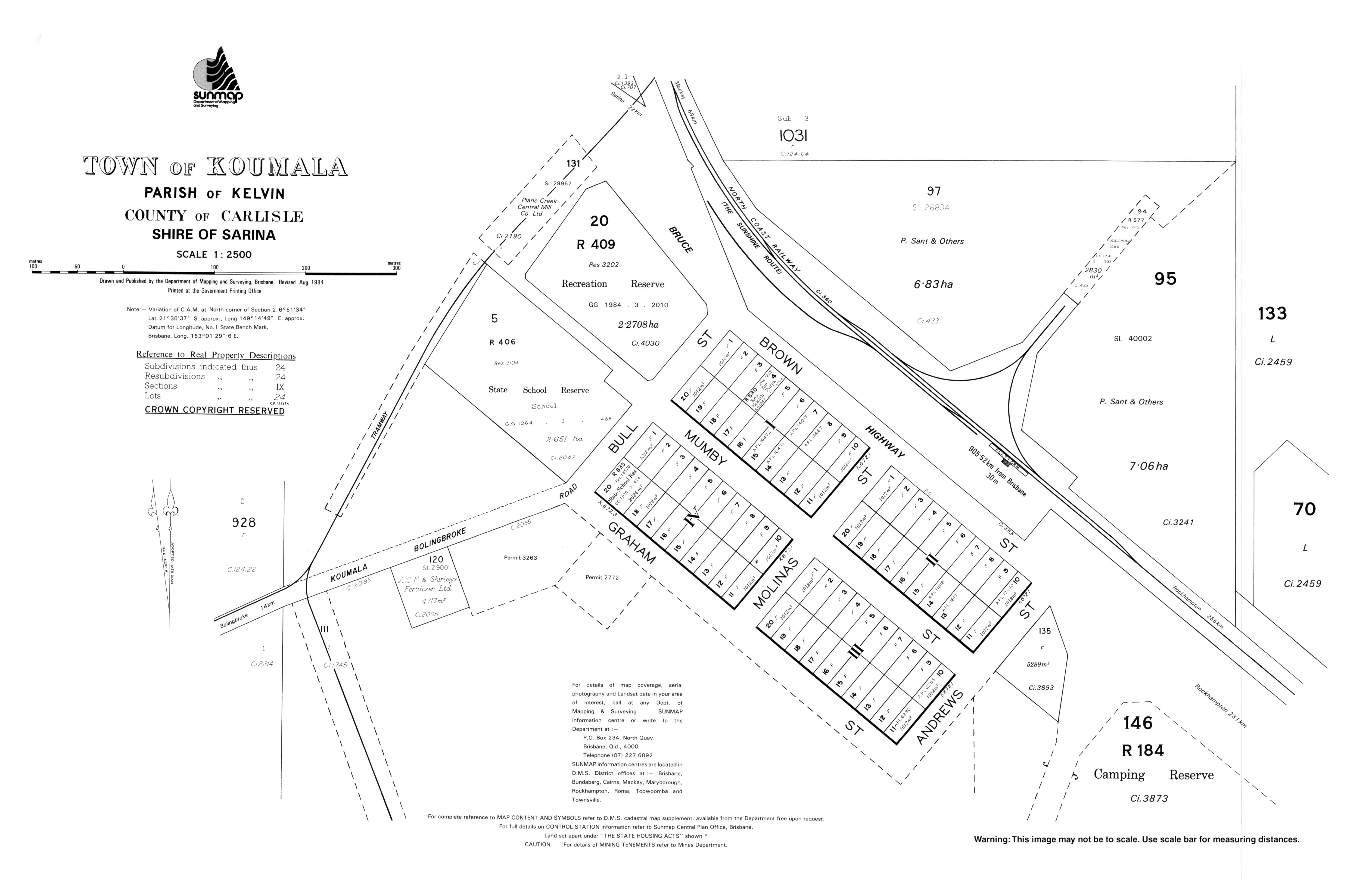
- "Town map of Koumala". Queensland Government. 1984.
- Salecich, Judith (9 September 2016). "Koumala: Where's that?". Archived from the original on 23 April 2022.