
Guhiya River
| Guhiya River | |
|---|---|
 Interactive Map | |
| Location | |
| Country | India |
| State | Rajasthan |
| District | Pali |
| Physical characteristics | |
| Source | |
| • location | Near Khariya Neev and Tharasani, Sojot Tehsil, Rajasthan, India |
| Mouth | |
• location | Near Phekaria (Phenkariya), Rajasthan, India |
| Basin size | 3,835 km2 (1,481 sq mi) |
| Basin features | |
| Tributaries | |
| • left | Radia Nadi, Guria Nadi, Lilri Nadi, Sukri (stream), Phunpharia |
Guhiya River is a small river in Pali District of Rajasthan, India. It is an intermittent stream running only during the monsoon season and is a tributary of the Luni River.
It rises in the foothills of the Aravalli Range near the villages of Khariya Neev (Khariyaniv) and Tharasani in Sojot Tehsil.[1] Its tributaries include the Radia Nadi, Guria Nadi, Lilri Nadi, Sukri (stream) and Phunpharia.[2] It joins the Bandi River near the village of Phekaria (Phenkariya) at 25°52′27″N 72°48′36″E / 25.87417°N 72.81000°E.[3] The catchment basin for the Guhiya river is 3,835 square kilometres (948,000 acres).[2]
References[edit]
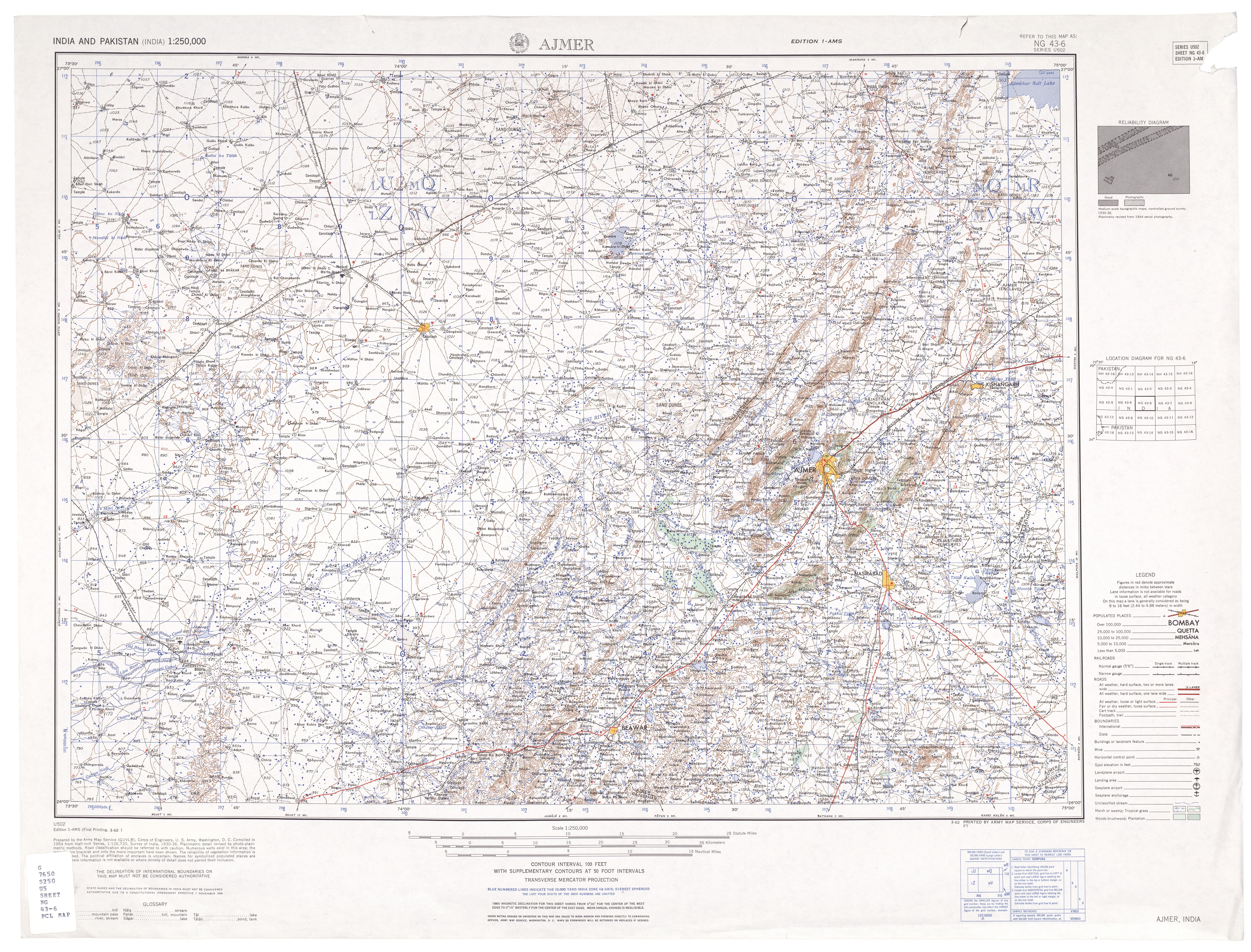
- ^ Ajmer, India, Sheet NG 43-06 (topographic map, scale 1:250,000), Series U-502, United States Army Map Service, March 1962
- ^ a b "Rivers – Luni Basin". Department of Irrigation, Government of Rajasthan. Archived from the original on 19 April 2008.
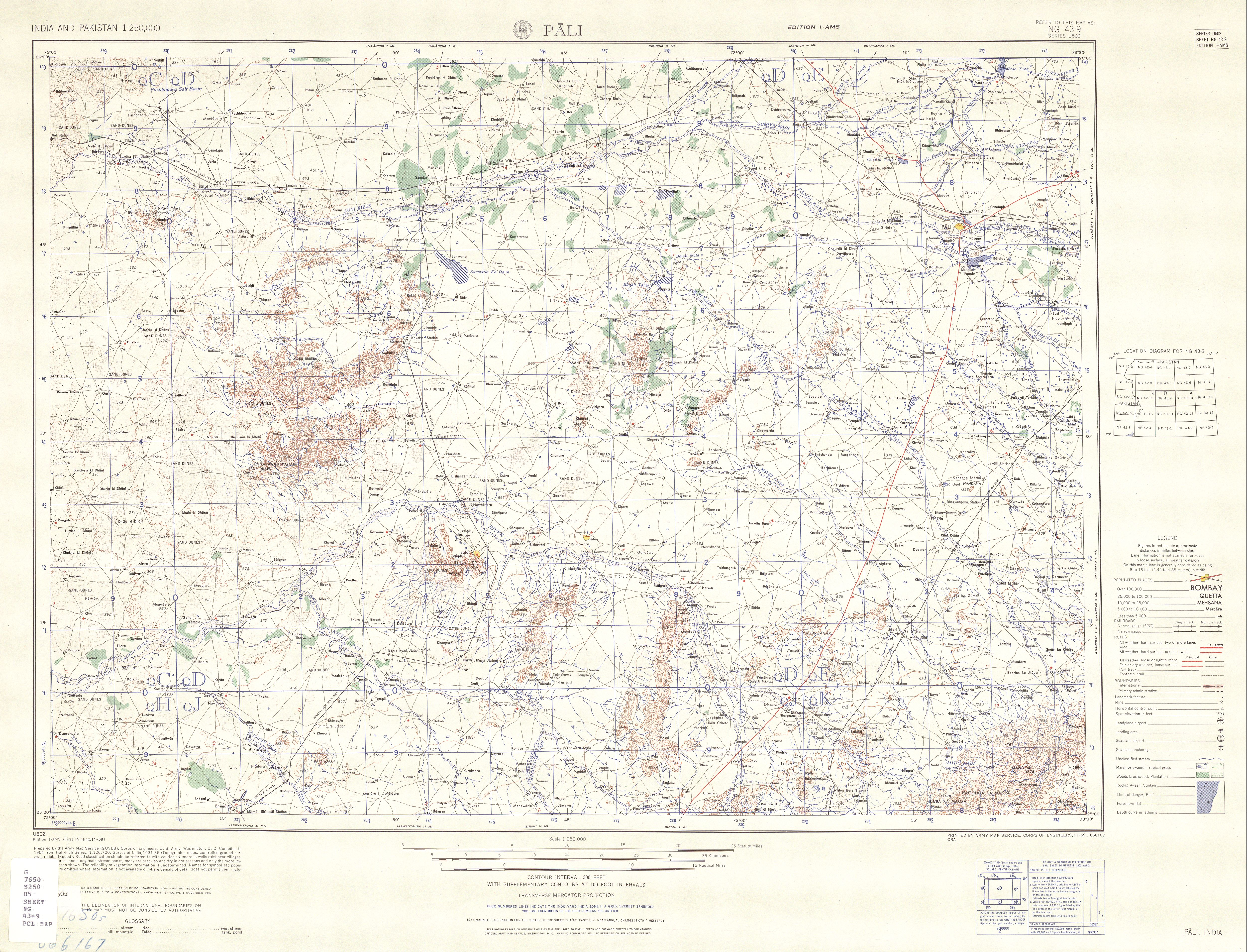
- ^ Pali, India, Sheet NG 43-09 (topographic map, scale 1:250,000), Series U-502, United States Army Map Service, November 1959
External links[edit]
- "Luni Basin". Department of Irrigation, Government of Rajasthan. Archived from the original on 26 March 2008.