
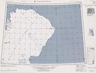
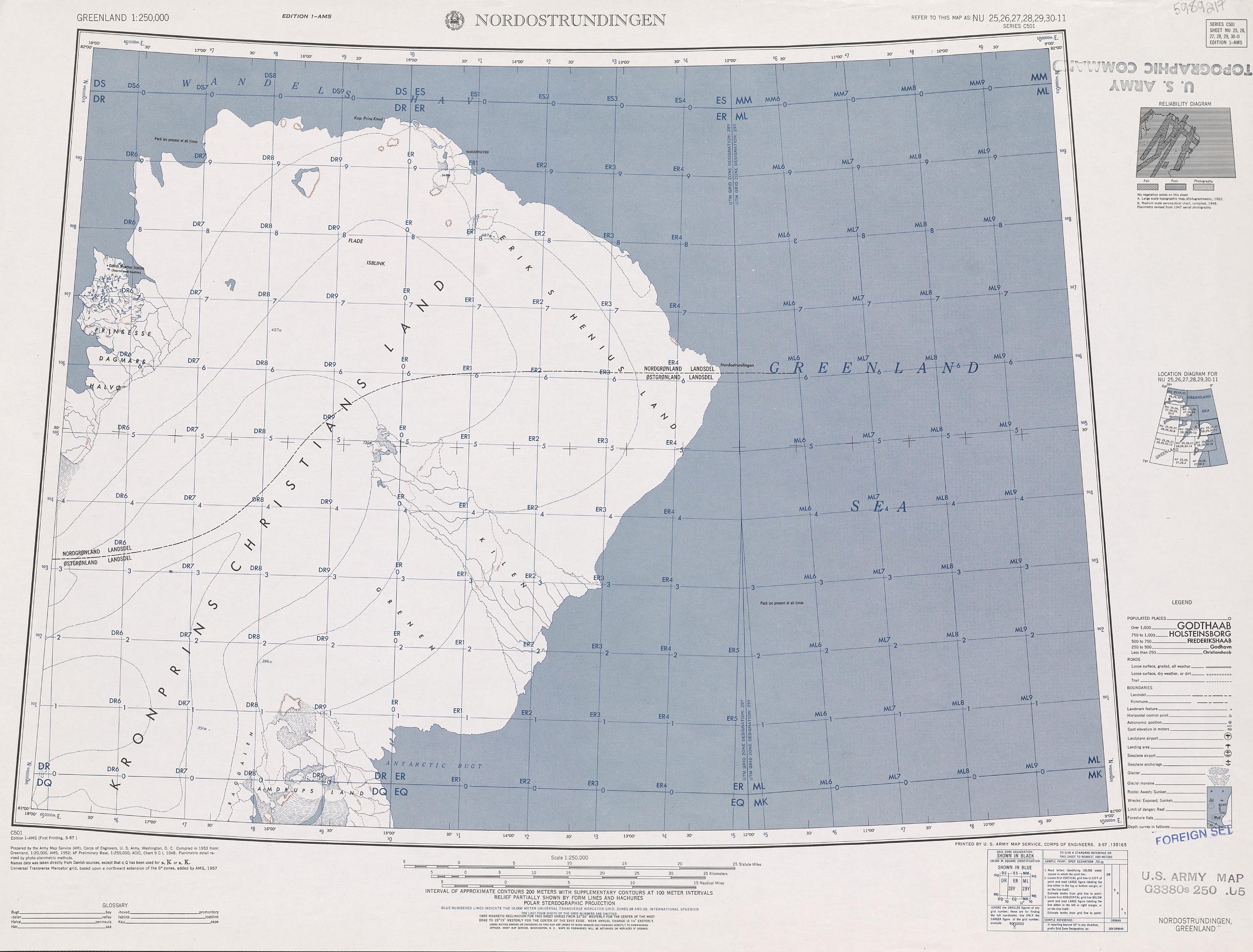
File:Nordostrundingen C 501 map sheet.tif

Size of this JPG preview of this TIF file: 789 × 600 pixels. Other resolutions: 316 × 240 pixels | 632 × 480 pixels | 1,011 × 768 pixels | 1,280 × 973 pixels | 2,560 × 1,945 pixels | 8,890 × 6,755 pixels.

Original file (8,890 × 6,755 pixels, file size: 172.04 MB, MIME type: image/tiff, 2 pages)
| This is a file from the Wikimedia Commons. Information from its description page there is shown below. Commons is a freely licensed media file repository. You can help. |
Summary
| Description |
English: Nordostrundingen C 501 map sheet, Northeast Greenland |
| Date | |
| Source | http://www.pgc.umn.edu/maps/arctic/id/GRL_REF-MT0503-067 |
| Author | National Geospatial-Intelligence Agency (NGA), U.S. Army Map Service |
Licensing
| This work is from the Library of Congress. According to the library, there are no known copyright restrictions on the use of this work. |  |
File history
Click on a date/time to view the file as it appeared at that time.
| Date/Time | Thumbnail | Dimensions | User | Comment | |
|---|---|---|---|---|---|
| current | 19:40, 28 September 2015 |  | 8,890 × 6,755, 2 pages (172.04 MB) | Ratzer | User created page with UploadWizard |
File usage
The following pages on the English Wikipedia use this file (pages on other projects are not listed):
Global file usage
The following other wikis use this file:
- Usage on de.wikipedia.org
- Usage on fr.wikipedia.org