
File:Closer view of west front - William Webb Farm, House, State Highway 3-U.S. highway 19, Sumter, Sumter County, GA HABS GA-20-A-2.tif

Size of this JPG preview of this TIF file: 728 × 600 pixels. Other resolutions: 291 × 240 pixels | 583 × 480 pixels | 932 × 768 pixels | 1,243 × 1,024 pixels | 2,486 × 2,048 pixels | 5,202 × 4,286 pixels.
Original file (5,202 × 4,286 pixels, file size: 21.27 MB, MIME type: image/tiff)
| This is a file from the Wikimedia Commons. Information from its description page there is shown below. Commons is a freely licensed media file repository. You can help. |
Summary
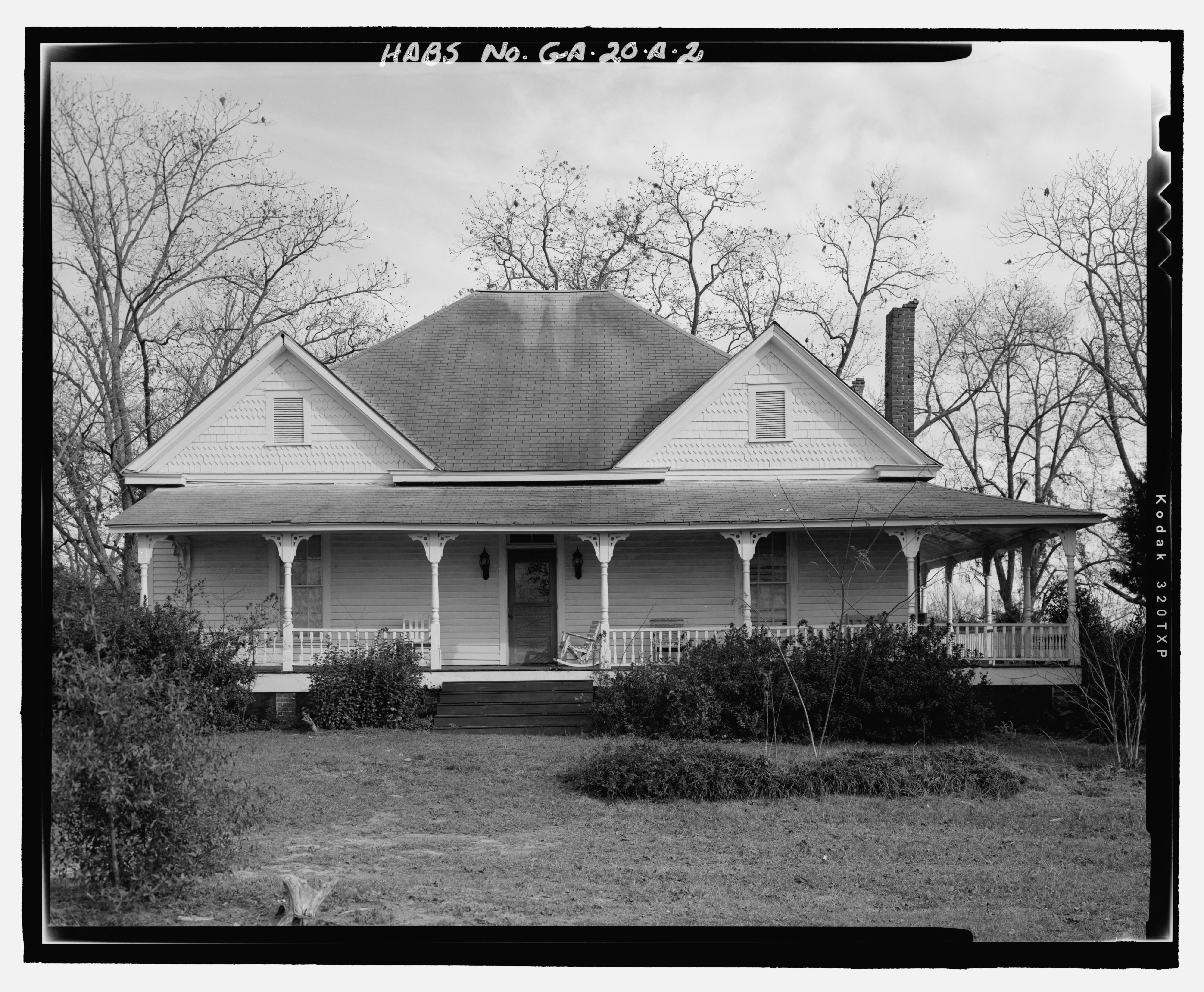
| Closer view of west front - William Webb Farm, House, State Highway 3-U.S. highway 19, Sumter, Sumter County, GA | ||||
|---|---|---|---|---|
| Photographer |
Richardson, Donnie |
|||
| Title |
Closer view of west front - William Webb Farm, House, State Highway 3-U.S. highway 19, Sumter, Sumter County, GA |
|||
| Depicted place | Georgia; Sumter County; Sumter | |||
| Date | 2005 | |||
| Dimensions | 4 x 5 in. | |||
| Current location |
Library of Congress Prints and Photographs Division Washington, D.C. 20540 USA http://hdl.loc.gov/loc.pnp/pp.print |
|||
| Accession number |
HABS GA-20-A-2 |
|||
| Credit line |
|
|||
| Notes |
|
|||
| References |
|
|||
| Source | https://www.loc.gov/pictures/item/ga0960.photos.368116p | |||
| Permission (Reusing this file) |
|
|||

| Object location | | View this and other nearby images on: OpenStreetMap |
|---|
File history
Click on a date/time to view the file as it appeared at that time.
| Date/Time | Thumbnail | Dimensions | User | Comment | |
|---|---|---|---|---|---|
| current | 13:53, 15 July 2014 |  | 5,202 × 4,286 (21.27 MB) | Fæ | GWToolset: Creating mediafile for Fæ. HABS 09 July 2014 (801:1000) |
File usage
The following pages on the English Wikipedia use this file (pages on other projects are not listed):