
File:Byfield area map.pdf

Size of this JPG preview of this PDF file: 424 × 600 pixels. Other resolutions: 170 × 240 pixels | 339 × 480 pixels | 543 × 768 pixels | 1,239 × 1,752 pixels.
Original file (1,239 × 1,752 pixels, file size: 279 KB, MIME type: application/pdf, 2 pages)
| This is a file from the Wikimedia Commons. Information from its description page there is shown below. Commons is a freely licensed media file repository. You can help. |
Summary
| Description |
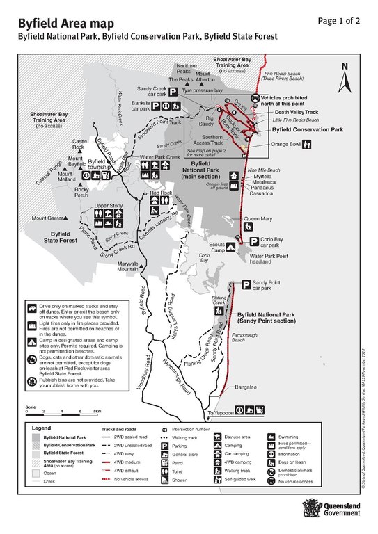
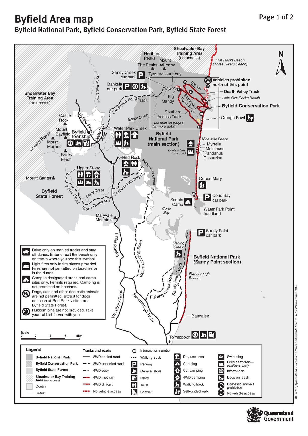
English: Byfield area map: Byfield National Park, Conservation Park and State Forest, November 2018 |
| Date | |
| Source | Byfield Area Map: Byfield National Park, Byfield Conservation Park, Byfield State Forest from Byfield National Park, Conservation Park and State Forest: Camping Information © The State of Queensland (Department of Environment and Science) 2017–2018, released under [ CC-BY-4.0 licence] |
| Author | Unknown author |
Licensing
This file is licensed under the Creative Commons Attribution 4.0 International license.
- You are free:
- to share – to copy, distribute and transmit the work
- to remix – to adapt the work
- Under the following conditions:
- attribution – You must give appropriate credit, provide a link to the license, and indicate if changes were made. You may do so in any reasonable manner, but not in any way that suggests the licensor endorses you or your use.
File history
Click on a date/time to view the file as it appeared at that time.
| Date/Time | Thumbnail | Dimensions | User | Comment | |
|---|---|---|---|---|---|
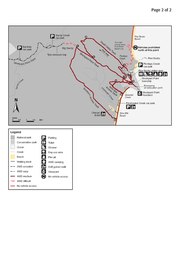
| current | 05:44, 23 November 2018 | 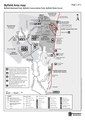 | 1,239 × 1,752, 2 pages (279 KB) | Kerry Raymond | User created page with UploadWizard |
File usage
The following pages on the English Wikipedia use this file (pages on other projects are not listed):
Global file usage
The following other wikis use this file:
- Usage on no.wikipedia.org