
File:Railway, Luddendenfoot - geograph.org.uk - 384997.jpg
Size of this preview: 800 × 534 pixels. Other resolutions: 320 × 213 pixels | 640 × 427 pixels | 1,024 × 683 pixels.
Original file (1,024 × 683 pixels, file size: 206 KB, MIME type: image/jpeg)
| This is a file from the Wikimedia Commons. Information from its description page there is shown below. Commons is a freely licensed media file repository. You can help. |
Summary
| Description |
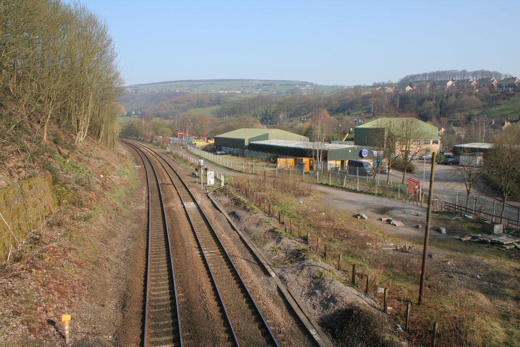
English: Railway, Luddendenfoot Looking north-west from Blackwood Hall Lane bridge. This view includes land that was the site of Luddendenfoot Railway Station. Branwell Bronte worked here as Clerk in Charge but was dismissed after a year due to a deficit in the accounts. On the hillside to the right is the Kershaw estate and on the far hillside is Midgley. |
| Date | |
| Source | From geograph.org.uk |
| Author | Mark Anderson |
| Attribution (required by the license) | Mark Anderson / Railway, Luddendenfoot / |
| Camera location | | View this and other nearby images on: OpenStreetMap |
|---|
_heading:337.00&language=en)
| Object location | | View this and other nearby images on: OpenStreetMap |
|---|
_heading:337.00&language=en)
Licensing

|
This image was taken from the Geograph project collection. See this photograph's page on the Geograph website for the photographer's contact details. The copyright on this image is owned by Mark Anderson and is licensed for reuse under the Creative Commons Attribution-ShareAlike 2.0 license.
|
This file is licensed under the Creative Commons Attribution-Share Alike 2.0 Generic license.
Attribution: Mark Anderson
- You are free:
- to share – to copy, distribute and transmit the work
- to remix – to adapt the work
- Under the following conditions:
- attribution – You must give appropriate credit, provide a link to the license, and indicate if changes were made. You may do so in any reasonable manner, but not in any way that suggests the licensor endorses you or your use.
- share alike – If you remix, transform, or build upon the material, you must distribute your contributions under the same or compatible license as the original.
File history
Click on a date/time to view the file as it appeared at that time.
| Date/Time | Thumbnail | Dimensions | User | Comment | |
|---|---|---|---|---|---|
| current | 11:51, 8 July 2018 | | 1,024 × 683 (206 KB) | Geograph Update Bot | Higher-resolution version from Geograph. |
| 14:51, 3 February 2011 |  | 640 × 427 (120 KB) | GeographBot | == {{int:filedesc}} == {{Information |description={{en|1=Railway, Luddendenfoot Looking north-west from Blackwood Hall Lane bridge. This view includes land that was the site of Luddendenfoot Railway Station. Branwell Bronte worked here as Clerk in Charge |
File usage
The following pages on the English Wikipedia use this file (pages on other projects are not listed):
Global file usage
The following other wikis use this file:
- Usage on www.wikidata.org