
File:Polesworth station, geograph-3621145-by-Nigel-Thompson.jpg
Size of this preview: 800 × 600 pixels. Other resolutions: 320 × 240 pixels | 640 × 480 pixels | 1,024 × 768 pixels.
Original file (1,024 × 768 pixels, file size: 210 KB, MIME type: image/jpeg)
| This is a file from the Wikimedia Commons. Information from its description page there is shown below. Commons is a freely licensed media file repository. You can help. |
| Description |
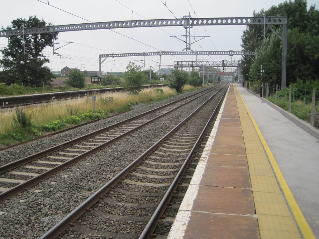
English: Polesworth station: Opened in 1847 by the London & North Western Railway on the line from Rugby to Stafford, this station was reduced to just one northbound service per day when this image was taken.
View south east towards Atherstone and Rugby. There was no access to the southbound platform (left) which was consequently overgrown! A platform shelter can be seen in the undergrowth - which was actually the only shelter on the whole station. |
||
| Date | |||
| Source | geograph.org.uk | ||
| Author | Nigel Thompson | ||
| Permission (Reusing this file) |
This file is licensed under the Creative Commons Attribution-Share Alike 2.0 Generic license. Attribution: Nigel Thompson
|
||
| Attribution (required by the license) | Nigel Thompson / Polesworth railway station, Warwickshire / | ||

| Camera location | | View this and other nearby images on: OpenStreetMap |
|---|
_heading:157.00&language=en)
| Object location | | View this and other nearby images on: OpenStreetMap |
|---|
_heading:157.00&language=en)
File history
Click on a date/time to view the file as it appeared at that time.
| Date/Time | Thumbnail | Dimensions | User | Comment | |
|---|---|---|---|---|---|
| current | 01:17, 27 March 2014 | | 1,024 × 768 (210 KB) | G-13114 | {{Information |description={{en|1=Polesworth station}} |date=28 August, 2010 |source= [http://www.geograph.org.uk geograph.org.uk] |author= Nigel Thompson |permission= {{Geograph|3621145|Nigel Thompson}} |other_versions= }} [[Category:Polesworth r... |
File usage
The following pages on the English Wikipedia use this file (pages on other projects are not listed):
Global file usage
The following other wikis use this file:
- Usage on nl.wikipedia.org