
File:Location map United Kingdom Lancaster Central1.png

Size of this preview: 671 × 599 pixels. Other resolutions: 269 × 240 pixels | 537 × 480 pixels | 860 × 768 pixels | 1,147 × 1,024 pixels | 2,115 × 1,889 pixels.
Original file (2,115 × 1,889 pixels, file size: 1.48 MB, MIME type: image/png)
| This is a file from the Wikimedia Commons. Information from its description page there is shown below. Commons is a freely licensed media file repository. You can help. |
Summary
| Description |
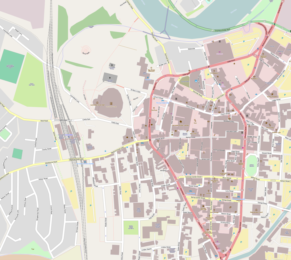
English: Map of Central Lancaster
Geographic limits:
|
| Date | |
| Source | http://www.openstreetmap.org/ |
| Author | OpenStreetMap |
| Other versions |
|
Licensing
| This work contains information from OpenStreetMap, which is made available under the Open Database License (ODbL).
The ODbL does not require any particular license for maps produced from ODbL data. Prior to 1 August 2020, map tiles produced by the OpenStreetMap Foundation were licensed under the CC-BY-SA-2.0 license. Maps produced by other people may be subject to other licences. |
This file is licensed under the Creative Commons Attribution-Share Alike 2.0 Generic license.
Attribution: © OpenStreetMap contributors
- You are free:
- to share – to copy, distribute and transmit the work
- to remix – to adapt the work
- Under the following conditions:
- attribution – You must give appropriate credit, provide a link to the license, and indicate if changes were made. You may do so in any reasonable manner, but not in any way that suggests the licensor endorses you or your use.
- share alike – If you remix, transform, or build upon the material, you must distribute your contributions under the same or compatible license as the original.
File history
Click on a date/time to view the file as it appeared at that time.
| Date/Time | Thumbnail | Dimensions | User | Comment | |
|---|---|---|---|---|---|
| current | 13:04, 5 August 2013 | | 2,115 × 1,889 (1.48 MB) | JohnArmagh | User created page with UploadWizard |
File usage
The following pages on the English Wikipedia use this file (pages on other projects are not listed):
- Grand Theatre, Lancaster
- Judges' Lodgings, Lancaster
- Lancaster Castle
- Lancaster City Museum
- Lancaster Green Ayre railway station
- Lancaster Priory
- Lancaster Roman Fort
- Lancaster bus station
- Lancaster railway station
- List of monastic houses in Lancashire
- Market Square, Lancaster
- Phoenix Street drill hall, Lancaster
- St John the Evangelist's Church, Lancaster
- St Thomas' Church, Lancaster
- The Dukes, Lancaster
- The Storey
- Windermere House, Lancaster
- Module:Location map/data/United Kingdom Lancaster Central
- Module:Location map/data/United Kingdom Lancaster Central/doc
Global file usage
The following other wikis use this file:
- Usage on ar.wikipedia.org
- Usage on ceb.wikipedia.org
- Usage on fa.wikipedia.org
- Usage on si.wikipedia.org
- Usage on war.wikipedia.org
- Usage on www.wikidata.org