
File:GranvilleCassini.jpg
GranvilleCassini.jpg (755 × 436 pixels, file size: 92 KB, MIME type: image/jpeg)
| This is a file from the Wikimedia Commons. Information from its description page there is shown below. Commons is a freely licensed media file repository. You can help. |
Summary
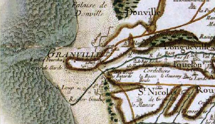
| Description | Carte de Granville selon Cassini | ||||||||||||||||||||
| Date | 15 September 2007 (original upload date) | ||||||||||||||||||||
| Source | Des villages de Cassini aux communes d'aujourd'hui | ||||||||||||||||||||
| Author |
|
||||||||||||||||||||

Licensing
|
This work is in the public domain in its country of origin and other countries and areas where the copyright term is the author's life plus 70 years or fewer.
| |
| This file has been identified as being free of known restrictions under copyright law, including all related and neighboring rights. | |
File history
Click on a date/time to view the file as it appeared at that time.
| Date/Time | Thumbnail | Dimensions | User | Comment | |
|---|---|---|---|---|---|
| current | 21:28, 15 September 2007 | | 755 × 436 (92 KB) | Cyrilb1881 | {{Information |Description=Carte de Granville selon Cassini |Source=http://cassini.ehess.fr/cassini/fr/html/1_navigation.php# |Date=15/09/2007 |Author=cyrilb1881 |Permission= |other_versions= |Category:Granville }} |
File usage
Global file usage
The following other wikis use this file: