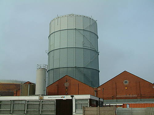
Some undistinguished industrial buildings in Crowland Street, Blowick, Southport, Lancashire. The significant feature of this image is the large patch of sky formerly occupied by the Southport gas holder. This will become more obvious if this image is uploaded.
I, Roger W Haworth, the creator of this work hereby publish it under the following licences:
I, the copyright holder of this work, hereby publish it under the following license:
Permission is granted to copy, distribute and/or modify this document under the terms of the GNU Free Documentation License, Version 1.2 or any later version published by the Free Software Foundation; with no Invariant Sections, no Front-Cover Texts, and no Back-Cover Texts. A copy of the license is included in the section entitled GNU Free Documentation License.http://www.gnu.org/copyleft/fdl.htmlGFDLGNU Free Documentation Licensetruetrue
to share – to copy, distribute and transmit the work
to remix – to adapt the work
Under the following conditions:
attribution – You must give appropriate credit, provide a link to the license, and indicate if changes were made. You may do so in any reasonable manner, but not in any way that suggests the licensor endorses you or your use.
share alike – If you remix, transform, or build upon the material, you must distribute your contributions under the same or compatible license as the original.
This licensing tag was added to this file as part of the GFDL licensing update.http://creativecommons.org/licenses/by-sa/3.0/CC BY-SA 3.0Creative Commons Attribution-Share Alike 3.0truetrue
Captions
Add a one-line explanation of what this file represents
{{Information |Description=Some undistinguished industrial buildings in Crowland Street, Blowick, Southport, Lancashire, looking north from {{gbmapping|SD363166}}. The significant feature of this image is the large patch of sky for
File usage
The following pages on the English Wikipedia use this file (pages on other projects are not listed):


