
File:Aberdeen City Council election 2012.svg

Size of this PNG preview of this SVG file: 719 × 600 pixels. Other resolutions: 288 × 240 pixels | 575 × 480 pixels | 921 × 768 pixels | 1,227 × 1,024 pixels | 2,455 × 2,048 pixels | 1,425 × 1,189 pixels.
Original file (SVG file, nominally 1,425 × 1,189 pixels, file size: 830 KB)
| This is a file from the Wikimedia Commons. Information from its description page there is shown below. Commons is a freely licensed media file repository. You can help. |
Summary
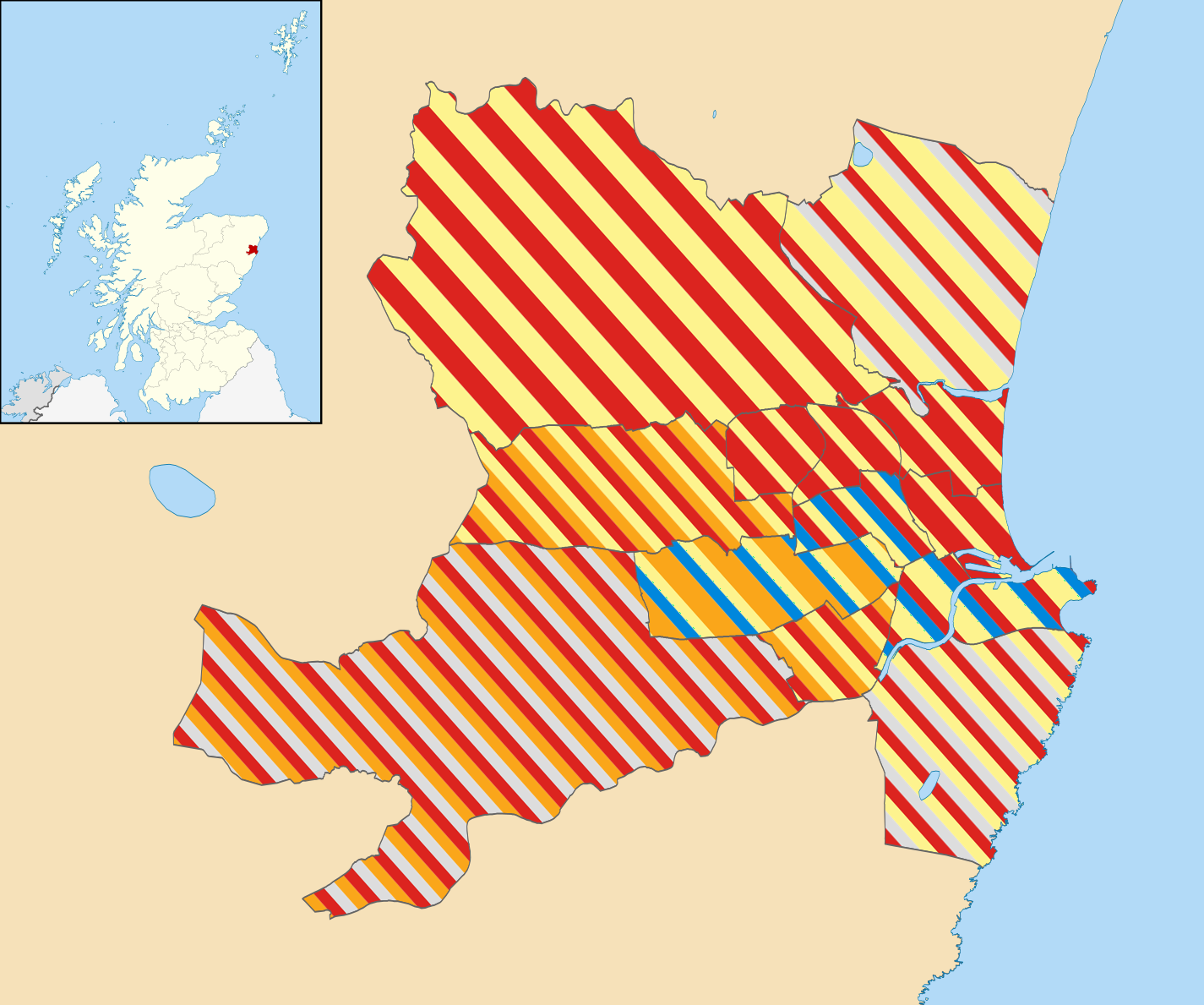
| Description | Blank map of Aberdeen, UK with electoral wards shown. Equirectangular map projection on WGS 84 datum, with N/S stretched 180% Geographic limits: *West: 2.42W *East: 2.01W *North: 57.25N *South: 57.06N |
| Date | (UTC) |
| Source |
This file was derived from: Aberdeen UK ward map (blank).svg: |
| Author |
|
.svg)
| This is a retouched picture, which means that it has been digitally altered from its original version. Modifications: Coloured wards. The original can be viewed here: Aberdeen UK ward map (blank).svg:
|
Licensing
I, the copyright holder of this work, hereby publish it under the following license:
This file is licensed under the Creative Commons Attribution-Share Alike 3.0 Unported license.
- You are free:
- to share – to copy, distribute and transmit the work
- to remix – to adapt the work
- Under the following conditions:
- attribution – You must give appropriate credit, provide a link to the license, and indicate if changes were made. You may do so in any reasonable manner, but not in any way that suggests the licensor endorses you or your use.
- share alike – If you remix, transform, or build upon the material, you must distribute your contributions under the same or compatible license as the original.
Original upload log
This image is a derivative work of the following images:
- File:Aberdeen_UK_ward_map_(blank).svg licensed with Cc-by-sa-3.0
- 2010-10-16T22:17:19Z Nilfanion 1425x1189 (842283 Bytes) {{Information |Description=Blank map of the [[w:Aberdeen|Aberdeen]], UK with electoral wards shown. Equirectangular map projection on WGS 84 datum, with N/S stretched 180% Geographic limits: *West: 2.42W *East: 2.01W *North
Uploaded with derivativeFX
File history
Click on a date/time to view the file as it appeared at that time.
| Date/Time | Thumbnail | Dimensions | User | Comment | |
|---|---|---|---|---|---|
| current | 00:28, 21 January 2020 | | 1,425 × 1,189 (830 KB) | The- | Fixed colours |
| 19:04, 27 April 2017 |  | 1,425 × 1,189 (830 KB) | Renamed user OCfxJKu7j2 | Reverted to version as of 23:13, 8 July 2012 (UTC) | |
| 19:02, 27 April 2017 |  | 1,225 × 940 (29 KB) | Renamed user OCfxJKu7j2 | New boundaries + better layout | |
| 23:13, 8 July 2012 |  | 1,425 × 1,189 (830 KB) | Barryob | == {{int:filedesc}} == {{Information |Description=Blank map of Aberdeen, UK with electoral wards shown. Equirectangular map projection on WGS 84 datum, with N/S stretched 180% Geographic limits: *West: 2.42W *East: 2.01W *North: 57.25N... |
File usage
The following pages on the English Wikipedia use this file (pages on other projects are not listed):