From Wikipedia, the free encyclopedia
Original file (4,607 × 3,214 pixels, file size: 1.67 MB, MIME type: image/jpeg )
File history
Click on a date/time to view the file as it appeared at that time.
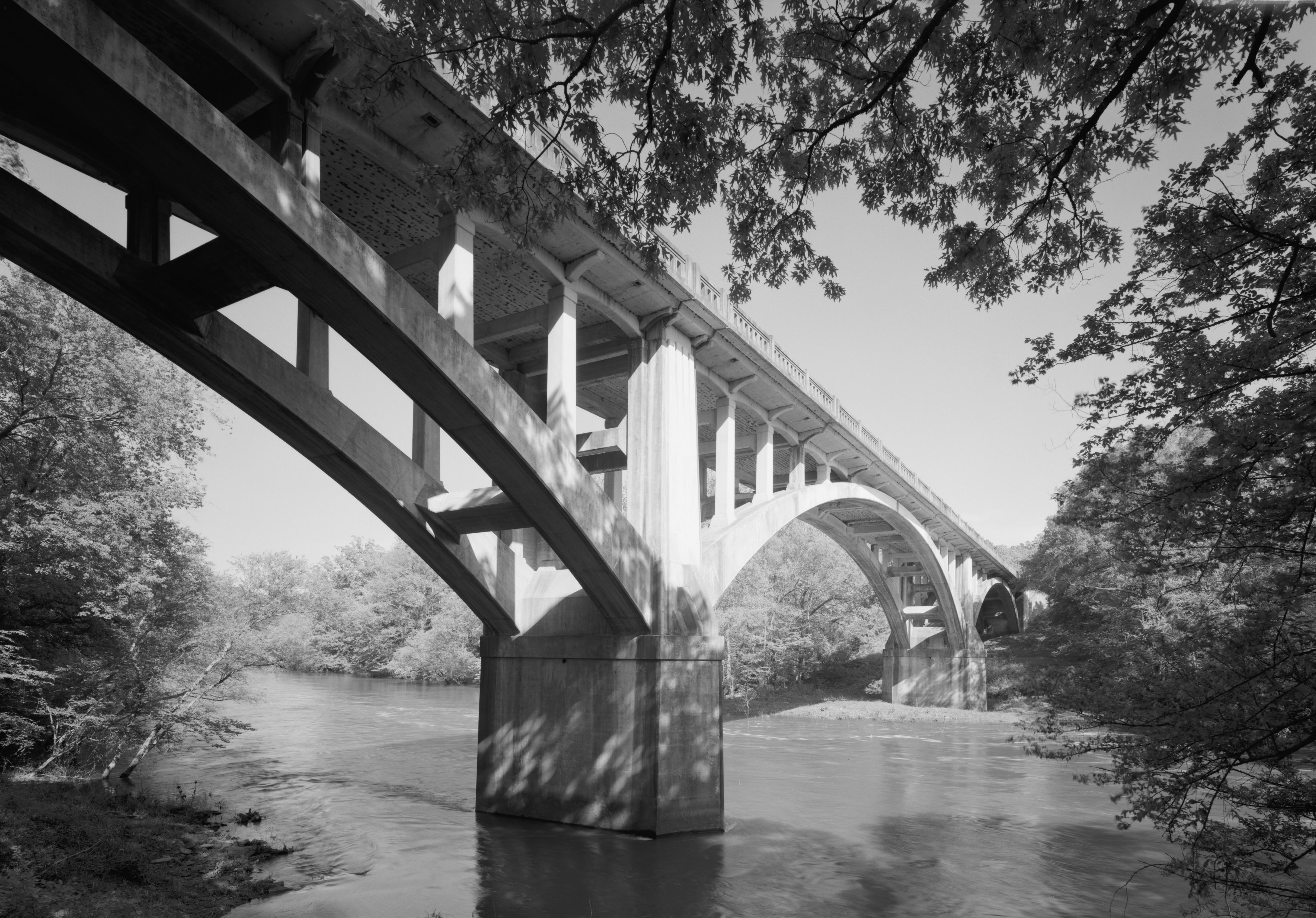
Date/Time Thumbnail Dimensions User Comment current 18:38, 3 March 2011 4,607 × 3,214 (1.67 MB) Martin H. large size, cropped 21:53, 9 January 2011 922 × 629 (223 KB) KudzuVine {{Information |Description={{en|1=Fourche Lafave Bridge, Spanning Fourche Lafave River at State Highway 7, Nimrod vicinity (Perry County, Arkansas) cropped, ar7 {{PD-USGov-NPS-HAER|AR-67}} }} |Source=http://memory.loc.gov/pnp/habshaer/ar/ar0100/ar0139/pho
File usage
The following pages on the English Wikipedia use this file (pages on other projects are not listed):
Global file usage
The following other wikis use this file:
Usage on www.wikidata.org
This file contains additional information, probably added from the digital camera or scanner used to create or digitize it.
If the file has been modified from its original state, some details may not fully reflect the modified file.


.jpg)
.jpg)
.jpg¶ms=034.951944_N_-093.152222_E_globe:Earth_class:object_region:US_type:landmark_scale:1500_&language=en)

.jpg)