
La Leche River
| La Leche River | |
|---|---|
 Location of La Leche's source in Peru | |
| Native name | Spanish: Río La Leche |
| Location | |
| Country | Peru |
| Region | Lambayeque |
| Physical characteristics | |
| Source | Mount Choicopico |
| • coordinates | 06°13′19″S 079°4′59″W / 6.22194°S 79.08306°W |
| • elevation | 4,230 metres (13,878 ft) |
| Mouth | Motupe River |
• coordinates | 06°26′08″S 079°56′02″W / 6.43556°S 79.93389°W |
| Basin features | |
| Tributaries | |
| • right | Moyán River, Sangana River |
La Leche River (Spanish: Río La Leche), meaning the milky one, is a river of Lambayeque Region in northwestern Peru,[1] although some of its water come from the northern Cajamarca Region.[2]
Geography[edit]
La Leche arises off the northern slopes of Mount Choicopico, 06°13′19″S 079°4′59″W / 6.22194°S 79.08306°W, at an altitude of 4,230 metres (13,878 ft) in Ferreñafe Province, of Lambayeque Region.[2] Its two main tributaries are the Moyán and the Sangana rivers, both right-hand tributaries.[2] Formerly the river ran parallel to the Motupe River as it entered the saline Sechura Desert; however, due to stream capture it now has the Motupe River flowing into its bed at 06°26′08″S 079°56′02″W / 6.43556°S 79.93389°W, with the resultant river being called the Motupe.[3] During the rainy season, mid November to mid April, but especially during El Niño events,[4] La Leche can experience severe flooding, and in some years by the end of the dry season it can almost disappear.[2] Traditionally stone levees were used to try to control the flooding,[5] but in the 21st century upland dams are being used.[2]
The valley of La Leche is variously forested, grassland and agricultural.[2] The largest town along La Leche is Incahuasi.[2] Both the Laquipampa Wildlife Refuge and the Pómac Forest Historical Sanctuary are along La Leche.
Notes and references[edit]
- ^ Río La Leche (Approved - N) at GEOnet Names Server, United States National Geospatial-Intelligence Agency
- ^ a b c d e f g Ponce, Victor M. (2 July 2008). "Projecto de Control de Inundaciones en el Rio La Leche" (in Spanish). Archived from the original on 31 July 2010.
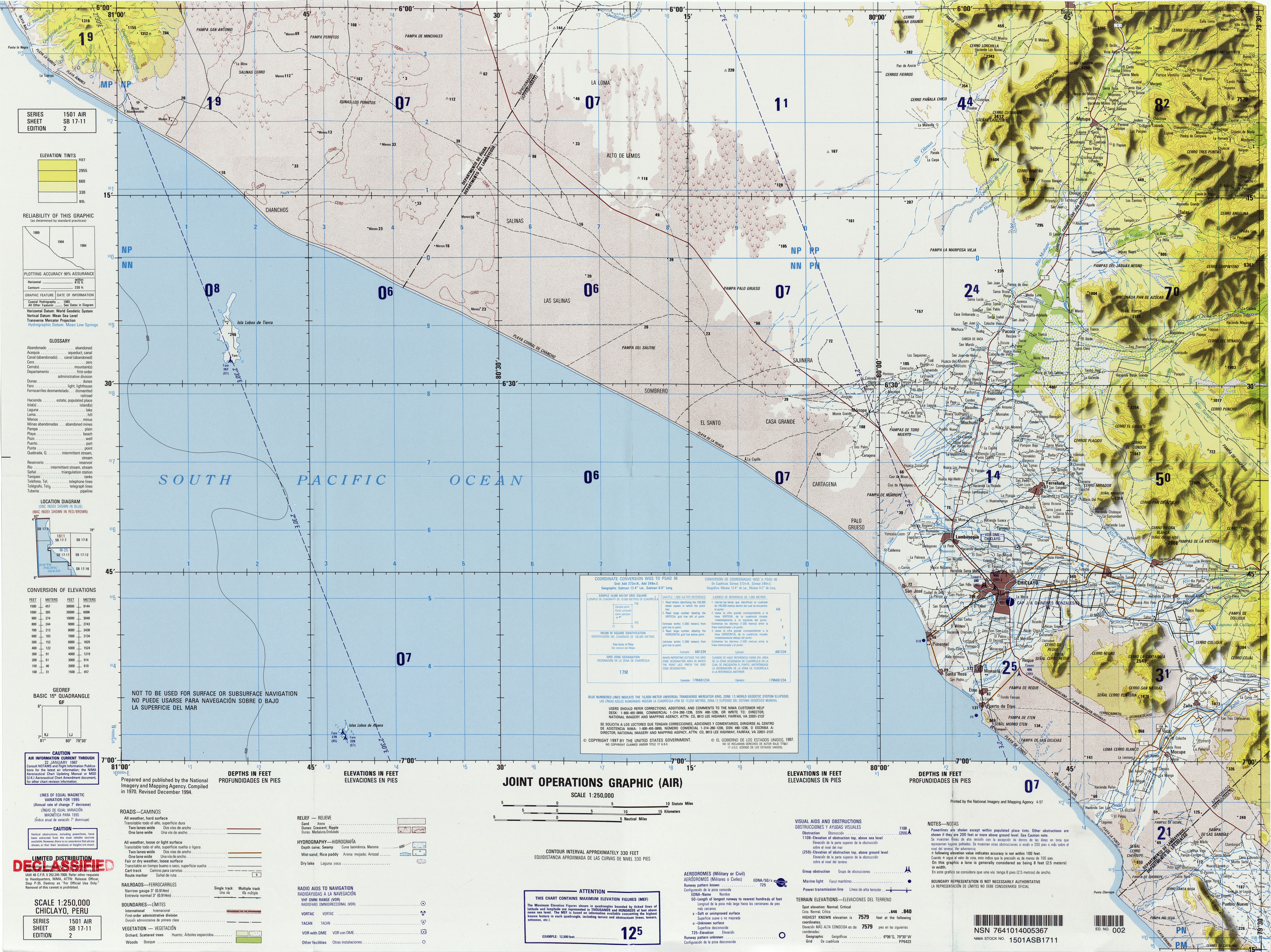
- ^ Chiclayo, Peru, SB 17-11 (Map). 1:250,000. Joint Operations Graphic (Air), Series 1501 Air. United States National Imagery and Mapping Agency. 1994.
- ^ Ponce, Victor M.; Shetty, Amper V. (2008). "The facts about El Niño". Archived from the original on 11 November 2014.
- ^ Shimada, Izumi (1982). "Horizontal Archipelago and Coast-Highland Interaction in North Peru: Archaeological Models in El Hombre y su Ambiente en los Andes Centrales". Senri Ethnological Studies Osaka. 10: 137–210, page 177.
Further reading[edit]
- Pardo, A.; Sanz, V. (1979). "Estratigrafía del curso medio del Río La Leche, Departamento de Lambayeque". Boletín de la Sociedad Geológica del Perú (in Spanish) (60): 251–266.