
Malar, Rajasthan
Malar
Malhar[1] | |
|---|---|
village | |
 Malar Location in Rajasthan, India  Malar Malar (India) | |
| Coordinates: 27°12′11″N 72°22′58″E / 27.20306°N 72.38278°E | |
| Country | |
| State | Rajasthan |
| District | Jodhpur |
| Tehsil | Bap |
| Time zone | UTC+5:30 (IST) |
| ISO 3166 code | RJ-IN |
| Vehicle registration | RJ- |
| Climate | Dry (Köppen: BSh) |
| Temperature | Summer: 45°C (122°F) Winter: -3°C (27°F) |
| Lok Sabha constituency | Jodhpur |
Malar is a panchayat village[2] in the state of Rajasthan, India.[3] Administratively, it is under Bap tehsil of Jodhpur District of Rajasthan.[4]
There are three villages in the Malar gram panchayat: Malar, Godarli, and Reen.[4]
Geography[edit]
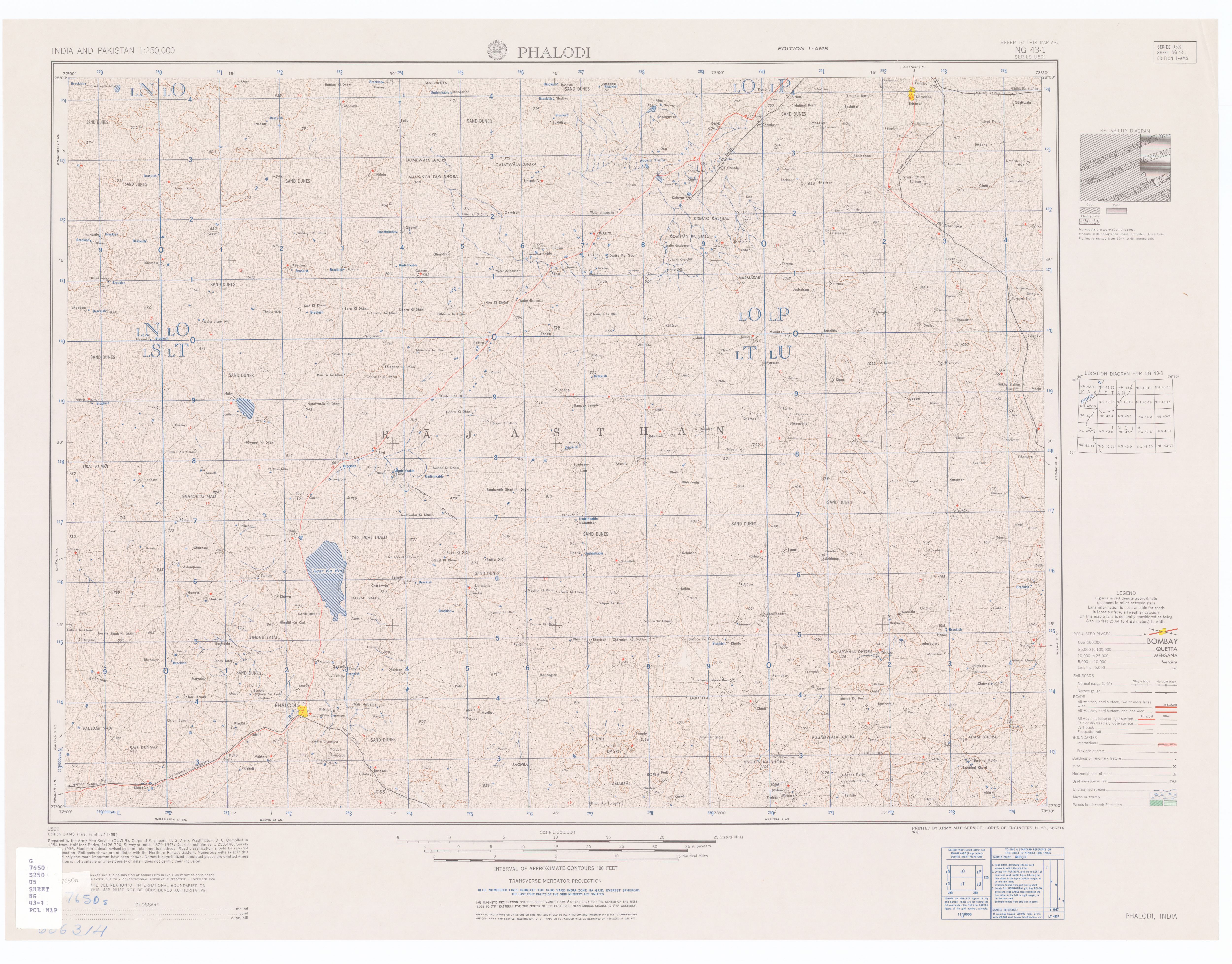
Malar is in the Thar Desert[1] and suffers extreme heat in the summers. It is located 10 kilometres (6 mi) north of the town of Phalodi.[5]
Godarli is located just 2 km by dirt road to the southeast. Reen is located about 9 km by road north of Malar almost to the Agar Ka Rin (dry lake).
History[edit]
Malar sits at the center of the area formerly covered by the princely states of Jaisalmer, Bikaner and Jodhpur.[5] Until 2009, Malar was part of Phalodi tehsil, at that point Bap Taluka was created out of northern Phalodi tehsil.
Demographics[edit]
In the India census of 2001, the village of Malar had a population of 943. Males constituted 501 (53.1%) of the population and females 442 (46.9%), for a gender ratio of 882 females per thousand males.[6]
Notes[edit]
- ^ a b Phalodi India, Sheet NG 43-01 (topographic map, scale 1:250,000), Series U-502, United States Army Map Service, November 1959
- ^ 2011 Village Panchayat Code for Malar = 35636, "Reports of National Panchayat Directory: Village Panchayat Names of Bap, Jodhpur, Rajasthan". Ministry of Panchayati Raj, Government of India. Archived from the original on 13 May 2013.
- ^ 2001 Census Village code for Malar = 01915500, "2001 Census of India: List of Villages by Tehsil: Rajasthan" (PDF). Registrar General & Census Commissioner, India. p. 381. Archived (PDF) from the original on 13 November 2011.
- ^ a b 2011 Census Village code for Malar = 084107, "Reports of National Panchayat Directory: List of Census Villages mapped for: Malar Gram Panchayat, Bap, Jodhpur, Rajasthan". Ministry of Panchayati Raj, Government of India. Archived from the original on 17 May 2013. Retrieved 17 May 2013.
- ^ a b Census of India, 1961. Vol. 14. 1961. p. xv.
- ^ "Census 2001 Population Finder: Rajasthan: Jodhpur: Phalodi: Malar". Office of The Registrar General & Census Commissioner, Ministry of Home Affairs, Government of India. Archived from the original on 17 May 2013.
This article related to a location in Rajasthan is a stub. You can help Wikipedia by expanding it. |