
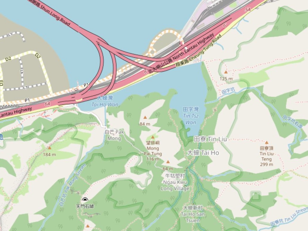
File:Tai Ho Wan map.jpg
Size of this preview: 800 × 600 pixels. Other resolutions: 320 × 240 pixels | 640 × 480 pixels | 1,024 × 768 pixels | 1,030 × 772 pixels.
Original file (1,030 × 772 pixels, file size: 162 KB, MIME type: image/jpeg)
| This is a file from the Wikimedia Commons. Information from its description page there is shown below. Commons is a freely licensed media file repository. You can help. |
Summary
| Description |
English: Map of Tai Ho Wan |
| Date | |
| Source | https://www.openstreetmap.org/#map=15/22.2967/113.9684 |
| Author | OpenStreetMap contributors |
Licensing
| This work contains information from OpenStreetMap, which is made available under the Open Database License (ODbL).
The ODbL does not require any particular license for maps produced from ODbL data. Prior to 1 August 2020, map tiles produced by the OpenStreetMap Foundation were licensed under the CC-BY-SA-2.0 license. Maps produced by other people may be subject to other licences. |
File history
Click on a date/time to view the file as it appeared at that time.
| Date/Time | Thumbnail | Dimensions | User | Comment | |
|---|---|---|---|---|---|
| current | 20:00, 12 August 2023 | | 1,030 × 772 (162 KB) | Underwaterbuffalo | Uploaded a work by OpenStreetMap contributors from https://www.openstreetmap.org/#map=15/22.2967/113.9684 with UploadWizard |
File usage
The following pages on the English Wikipedia use this file (pages on other projects are not listed):