
File:Sweden Kronoberg location map.svg

Size of this PNG preview of this SVG file: 800 × 524 pixels. Other resolutions: 320 × 210 pixels | 640 × 419 pixels | 1,024 × 671 pixels | 1,280 × 838 pixels | 2,560 × 1,677 pixels | 1,000 × 655 pixels.
Original file (SVG file, nominally 1,000 × 655 pixels, file size: 139 KB)
| This is a file from the Wikimedia Commons. Information from its description page there is shown below. Commons is a freely licensed media file repository. You can help. |
Summary
| Description |
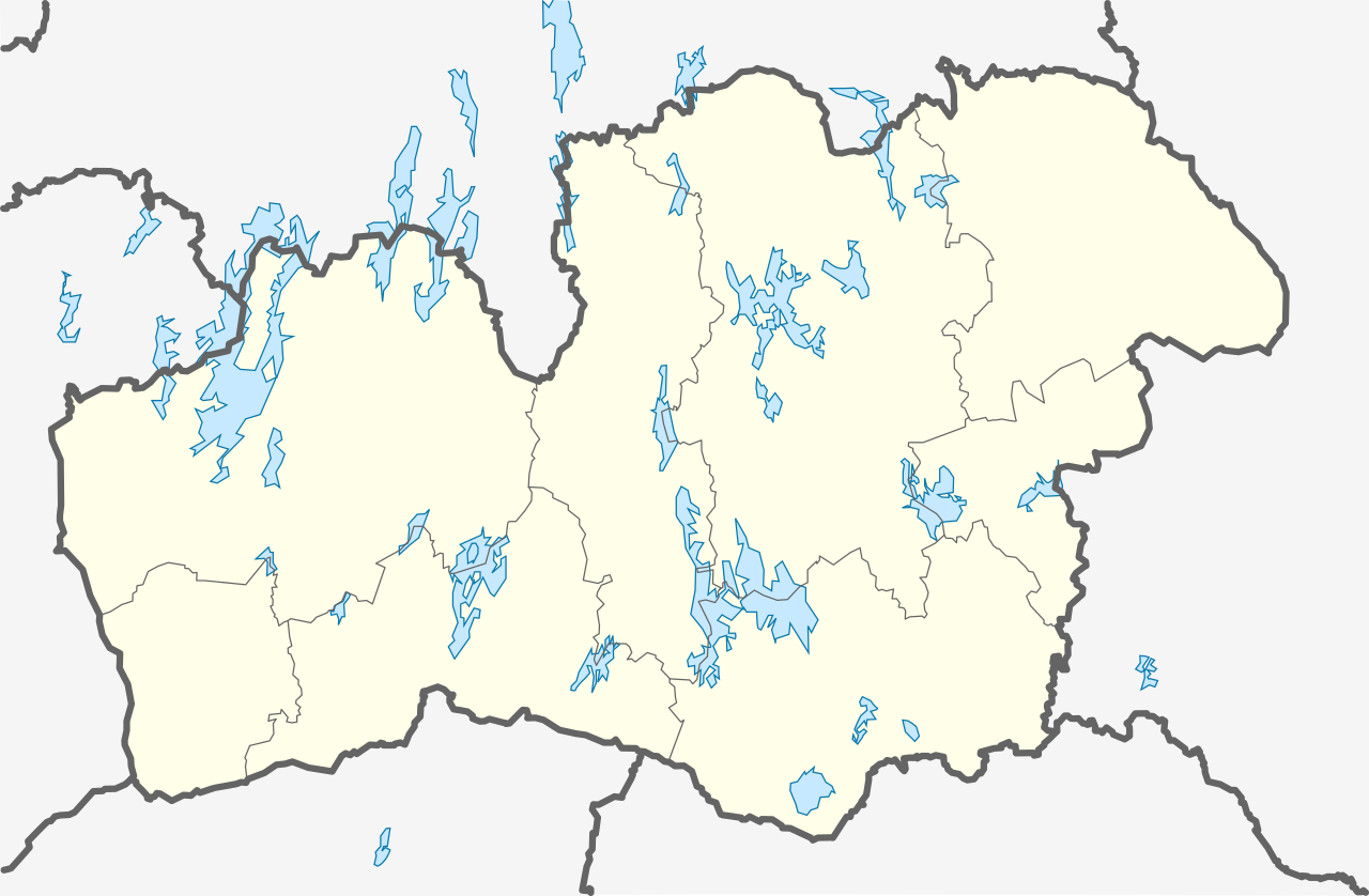
English: Location map of Kronoberg County in Sweden. N-S stretching is 183%, geographic limits of the map:
Deutsch: Positionskarte von Kronobergs län in Schweden. N-S-Streckung beträgt 183%, geographische Begrenzung der Karte:
|
| Date | |
| Source | Own work |
| Author | Erik Frohne |
Licensing
I, the copyright holder of this work, hereby publish it under the following licenses:

|
Permission is granted to copy, distribute and/or modify this document under the terms of the GNU Free Documentation License, Version 1.2 or any later version published by the Free Software Foundation; with no Invariant Sections, no Front-Cover Texts, and no Back-Cover Texts. A copy of the license is included in the section entitled GNU Free Documentation License. |
This file is licensed under the Creative Commons Attribution 3.0 Unported license.
- You are free:
- to share – to copy, distribute and transmit the work
- to remix – to adapt the work
- Under the following conditions:
- attribution – You must give appropriate credit, provide a link to the license, and indicate if changes were made. You may do so in any reasonable manner, but not in any way that suggests the licensor endorses you or your use.
You may select the license of your choice.
File history
Click on a date/time to view the file as it appeared at that time.
| Date/Time | Thumbnail | Dimensions | User | Comment | |
|---|---|---|---|---|---|
| current | 00:11, 18 January 2009 | | 1,000 × 655 (139 KB) | Erik Frohne | Replacement Category:Location maps of Sweden |
| 15:26, 12 January 2009 |  | 1,000 × 655 (89 KB) | Erik Frohne | {{Information |Description={{en|1=Location map of Kronoberg in Sweden. Geographic limits of the map: * N: 57.30° N * S: 56.30° N * W: 13.20° E * E: 16.00° E }} {{de|1=Positionskarte von Kronoberg in Schweden Geographische Begrenzung |
File usage
The following pages on the English Wikipedia use this file (pages on other projects are not listed):
- Agunnaryd
- Alstermo
- Alvesta
- Angelstad
- Björnö
- Braås
- Delary
- Diö
- Eneryda
- Fridafors
- Furuby
- Gemla
- Grimslöv
- Helgasjön
- Hjortsberga
- Hovmantorp
- Ingelstad
- Konga
- Kosta, Sweden
- Kronoberg County
- Kånna
- Lagan, Sweden
- Lammhult
- Lenhovda
- Lessebo
- Liatorp
- Lidhult
- Linneryd
- Ljungby
- Markaryd
- Mien (lake)
- Moheda
- Norrhult-Klavreström
- Nykulla
- Nöbbele
- Rottne
- Ryd, Tingsryd Municipality
- Ryssby
- Rävemåla
- Sagomuseet
- Skruv
- Strömsnäsbruk
- Timsfors
- Tingsryd
- Torpsbruk
- Traryd
- Tävelsås
- Urshult
- Vislanda
- Vittaryd
- Väckelsång
- Växjö
- Växjö-Kronoberg Airport
- Växjö Lake
- Älghult
- Älmhult
- Åby, Växjö Municipality
- Åryd, Växjö Municipality
- Åseda
- Åsnen
- Module:Location map/data/Sweden Kronoberg
- Module:Location map/data/Sweden Kronoberg/doc
Global file usage
The following other wikis use this file:
- Usage on ar.wikipedia.org
- Usage on bg.wikipedia.org
- Usage on ceb.wikipedia.org
- Usage on da.wikipedia.org
- Växjö
- Älmhult
- Alvesta
- Lessebo
- Ljungby
- Markaryd
- Tingsryd
- Åseda
- Kronobergs slotsruin
- Rottne
- Hovmantorp
- Bergdala glasbruk
- Kosta glasbruk
- Lindshammar glasbruk
- Rosdala glasbruk
- Skrufs glasbruk
- Transjö hytta
- Skabelon:Kortpositioner Sverige Kronoberg
- Teleborgs slot
- Bergkvara slot
- Fröseke
- Huseby
- Piksborg
- Danaborg
- Åsnens nationalpark
- Vislanda
- Torpsbruk
- VM i bandy 2023
- VM i bandy 2022 (kvinder)
- VM i bandy 2023 (kvinder)
- Kosta
- Usage on de.wikipedia.org
View more global usage of this file.