
File:Supreme Court of the Netherlands, The Hague 06.jpg

Size of this preview: 800 × 579 pixels. Other resolutions: 320 × 231 pixels | 640 × 463 pixels | 1,024 × 741 pixels | 1,280 × 926 pixels | 2,560 × 1,851 pixels | 3,407 × 2,464 pixels.
Original file (3,407 × 2,464 pixels, file size: 6.24 MB, MIME type: image/jpeg)
| This is a file from the Wikimedia Commons. Information from its description page there is shown below. Commons is a freely licensed media file repository. You can help. |
Summary
| Description |
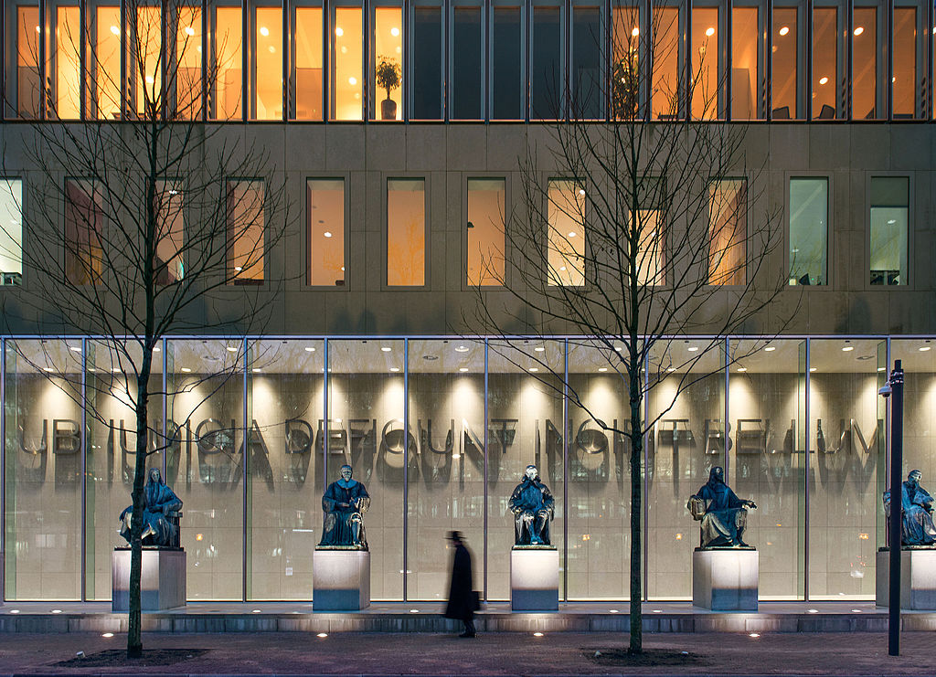
English: Supreme Court of the Netherlands in The Hague. The official opening of the new building was on 1 March 2016. Its design is by Kaan Architects.
Nederlands: Hoge Raad der Nederlanden in Den Haag. De officiële opening van het nieuwe gebouw is op 1 maart 2016. Het ontwerp is door Kaan Architecten.
Deutsch: Oberster Gerichtshof der Niederlande in Den Haag. Die offizielle Eröffnung des neuen Gebäudes ist am 1. März 2016. Es ist ein Entwurf von Kaan Architecten.
Français : Cour suprême des Pays-Bas à La Haye. Le nouveau bâtiment a été inauguré officiellement 1er Mars 2016. Il a été conçu par Kaan Architecten. Inscription latine : Ubi iudicia deficiunt incipit bellum (Où les jugements font défaut commence la guerre).
Español: La Corte Suprema de los Países Bajos en La Haya. La inauguración oficial del nuevo edificio es el 1 de marzo de 2016. El diseño del Es por Kaan Architecten.
Português: Supremo Tribunal dos Países Baixos, em Haia. A abertura oficial do novo edifício é em 1 de Março de 2016. É do projeto é por Kaan Architecten.
中文:最高法院在荷兰海牙。新大楼的正式启用是在3月1日2016年它的设计是卡恩建筑事务所。
日本語: ハーグのオランダの最高裁判所。新しい建物の正式オープンは3月1日2016年それのデザインはカーンアーキテクテンによるものである上にあります。
Русский: Верховный суд Нидерландов в Гааге. Официальное открытие нового здания 1 марта 2016 года дизайн Это является Каан Architecten.
اردو: ہیگ میں نیدرلینڈ کی سپریم کورٹ. نئی عمارت کی سرکاری افتتاحی پر 1 مارچ 2016. اس کے ڈیزائن Kaan کی Architecten کی طرف سے ہے ہے.
العربية: المحكمة العليا في هولندا في لاهاي. الافتتاح الرسمي للمبنى الجديد في 1 مارس 2016. وفي التصميم من قبل KAAN ARCHITECTEN. |
| Date | |
| Source | Rijksvastgoedbedrijf |
| Author | Bas Kijzers / Rijksvastgoedbedrijf |
| Camera location | | View this and other nearby images on: OpenStreetMap |
|---|
Licensing
Unless stated otherwise, a general Creative Commons CC0 permission for all work on the website of the Ministry of the Interior and Kingdom Relations of the Dutch Government (rijksvastgoedbedrijf.nl) has been granted since 4 June 2014, with the exception of:
• Photographs published after June 2017[a] Copyright statement at rijksvastgoedbedrijf.nl/copyright |
File history
Click on a date/time to view the file as it appeared at that time.
| Date/Time | Thumbnail | Dimensions | User | Comment | |
|---|---|---|---|---|---|
| current | 18:23, 16 February 2016 | | 3,407 × 2,464 (6.24 MB) | OSeveno | User created page with UploadWizard |
File usage
The following pages on the English Wikipedia use this file (pages on other projects are not listed):
Global file usage
The following other wikis use this file:
- Usage on ar.wikipedia.org
- Usage on bcl.wikipedia.org
- Usage on ca.wikipedia.org
- Usage on es.wikipedia.org
- Usage on fr.wikipedia.org
- Usage on gl.wikipedia.org
- Usage on ha.wikipedia.org
- Usage on hif.wikipedia.org
- Usage on hi.wikipedia.org
- Usage on ja.wikipedia.org
- Usage on mk.wikipedia.org
- Usage on nl.wikipedia.org
- Usage on nl.wikinews.org
- Usage on no.wikipedia.org
- Usage on pl.wikipedia.org
- Usage on ru.wikipedia.org
- Usage on sw.wikipedia.org
- Usage on uk.wikipedia.org
- Usage on www.wikidata.org
- Usage on zh.wikipedia.org