
File:St Oswalds Church, Kirkoswald.jpg
No higher resolution available.
St_Oswalds_Church,_Kirkoswald.jpg (640 × 478 pixels, file size: 146 KB, MIME type: image/jpeg)
| This is a file from the Wikimedia Commons. Information from its description page there is shown below. Commons is a freely licensed media file repository. You can help. |
Summary
| Description |
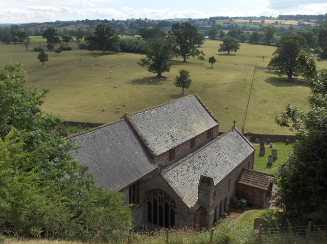
English: St Oswald's parish church, Kirkoswald, Cumbria, seen from the northeast |
| Date | |
| Source | From geograph.org.uk |
| Author | Andrew Smith |
| Permission (Reusing this file) |
Creative Commons Attribution Share-alike license 2.0 |
| Attribution (required by the license) | Andrew Smith / St Oswald's, Kirkoswald / |
| Camera location | | View this and other nearby images on: OpenStreetMap |
|---|
Licensing

|
This image was taken from the Geograph project collection. See this photograph's page on the Geograph website for the photographer's contact details. The copyright on this image is owned by Andrew Smith and is licensed for reuse under the Creative Commons Attribution-ShareAlike 2.0 license.
|
This file is licensed under the Creative Commons Attribution-Share Alike 2.0 Generic license.
Attribution: Andrew Smith
- You are free:
- to share – to copy, distribute and transmit the work
- to remix – to adapt the work
- Under the following conditions:
- attribution – You must give appropriate credit, provide a link to the license, and indicate if changes were made. You may do so in any reasonable manner, but not in any way that suggests the licensor endorses you or your use.
- share alike – If you remix, transform, or build upon the material, you must distribute your contributions under the same or compatible license as the original.
Original upload log
The original description page was here. All following user names refer to en.wikipedia.
- 2006-08-31 05:20 Euchiasmus 640×478× (149332 bytes) Picture of St Oswald's Church, Kirkoswald, Cumbria, England, looking towards Lazonby, taken by Andrew Smith in 2006 and placed on the geograph website under a Creative Commons License. Image can be seen at https://www.geograph.org.uk/photo/213001 (access
File history
Click on a date/time to view the file as it appeared at that time.
| Date/Time | Thumbnail | Dimensions | User | Comment | |
|---|---|---|---|---|---|
| current | 13:31, 11 October 2008 | | 640 × 478 (146 KB) | Angusmclellan | {{Information |Description={{en|St Oswald's, Kirkoswald, Cumbria. Although there has been a church at Kirkoswald since the early Middle Ages, the current structure dates from the 19th century}} |Source=From [http://www.geograph.org.uk/photo/213001 geograp |
File usage
The following pages on the English Wikipedia use this file (pages on other projects are not listed):
Global file usage
The following other wikis use this file:
- Usage on nl.wikipedia.org
- Usage on www.wikidata.org