
File:Rosebank OSM map.svg

Size of this PNG preview of this SVG file: 772 × 600 pixels. Other resolutions: 309 × 240 pixels | 618 × 480 pixels | 988 × 768 pixels | 1,280 × 995 pixels | 2,560 × 1,989 pixels | 1,364 × 1,060 pixels.
Original file (SVG file, nominally 1,364 × 1,060 pixels, file size: 4.57 MB)
| This is a file from the Wikimedia Commons. Information from its description page there is shown below. Commons is a freely licensed media file repository. You can help. |
Summary
| Description |
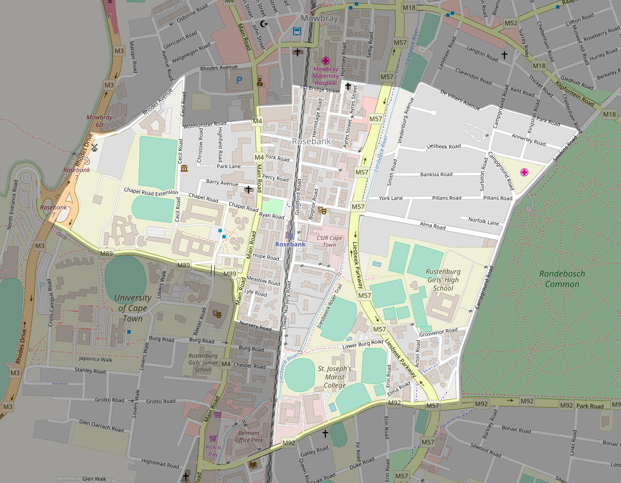
This map of Rosebank was created from OpenStreetMap project data, collected by the community. This map may be incomplete, and may contain errors. Don't rely solely on it for navigation. |
| Date | (see file history) |
| Source | openstreetmap.org |
| Creator |
OpenStreetMap contributors |
| Permission (Reusing this file) |
OpenStreetMap data and maps are licensed under the Creative Commons Attribution-ShareAlike 2.0 license (CC-BY-SA 2.0). This file is licensed under the Creative Commons Attribution-Share Alike 2.0 Generic license.
|
| Georeferencing | If inappropriate please set warp_status = skip to hide. |
| Other versions | File:Rosebank OSM map small.svg |
File history
Click on a date/time to view the file as it appeared at that time.
| Date/Time | Thumbnail | Dimensions | User | Comment | |
|---|---|---|---|---|---|
| current | 15:30, 20 November 2017 | | 1,364 × 1,060 (4.57 MB) | Htonl | update and add suburb outline |
| 12:21, 10 February 2009 |  | 1,093 × 779 (3.22 MB) | Htonl | update | |
| 12:39, 4 November 2008 |  | 1,060 × 753 (3.39 MB) | Htonl | update | |
| 21:26, 27 July 2008 |  | 1,051 × 779 (3.35 MB) | Htonl | updated version | |
| 13:24, 13 June 2008 |  | 1,051 × 776 (3.73 MB) | Htonl | update | |
| 18:03, 22 May 2008 |  | 1,060 × 766 (3.33 MB) | Htonl | update | |
| 09:54, 27 April 2008 |  | 1,023 × 736 (3.26 MB) | Htonl | update | |
| 20:31, 29 January 2008 |  | 210 × 157 (857 KB) | Htonl | update | |
| 20:34, 21 October 2007 |  | 220 × 169 (1.03 MB) | Htonl | {{OpenStreetMap|name=Rosebank}} Category:Maps of Cape Town suburbs |
File usage
The following pages on the English Wikipedia use this file (pages on other projects are not listed):
Global file usage
The following other wikis use this file:
- Usage on sl.wikipedia.org
- Usage on ur.wikipedia.org