
File:Region München - Satellitenbild.jpg

Size of this preview: 648 × 599 pixels. Other resolutions: 260 × 240 pixels | 519 × 480 pixels | 830 × 768 pixels | 1,107 × 1,024 pixels | 2,214 × 2,048 pixels | 5,726 × 5,296 pixels.
Original file (5,726 × 5,296 pixels, file size: 4.1 MB, MIME type: image/jpeg)
| This is a file from the Wikimedia Commons. Information from its description page there is shown below. Commons is a freely licensed media file repository. You can help. |
| Description |
|
| Date | |
| Source |
Stitched together by Maximilian Dörrbecker (Chumwa), using |
| Author | NASA |
| Permission (Reusing this file) |
I, the copyright holder of this work, hereby publish it under the following license: This file is licensed under the Creative Commons Attribution-Share Alike 2.5 Generic license.
Sie dürfen das Bild zu den folgenden Bedingungen nutzen:
|
| Other versions |
|

| Annotations | This image is annotated: View the annotations at Commons |
File history
Click on a date/time to view the file as it appeared at that time.
| Date/Time | Thumbnail | Dimensions | User | Comment | |
|---|---|---|---|---|---|
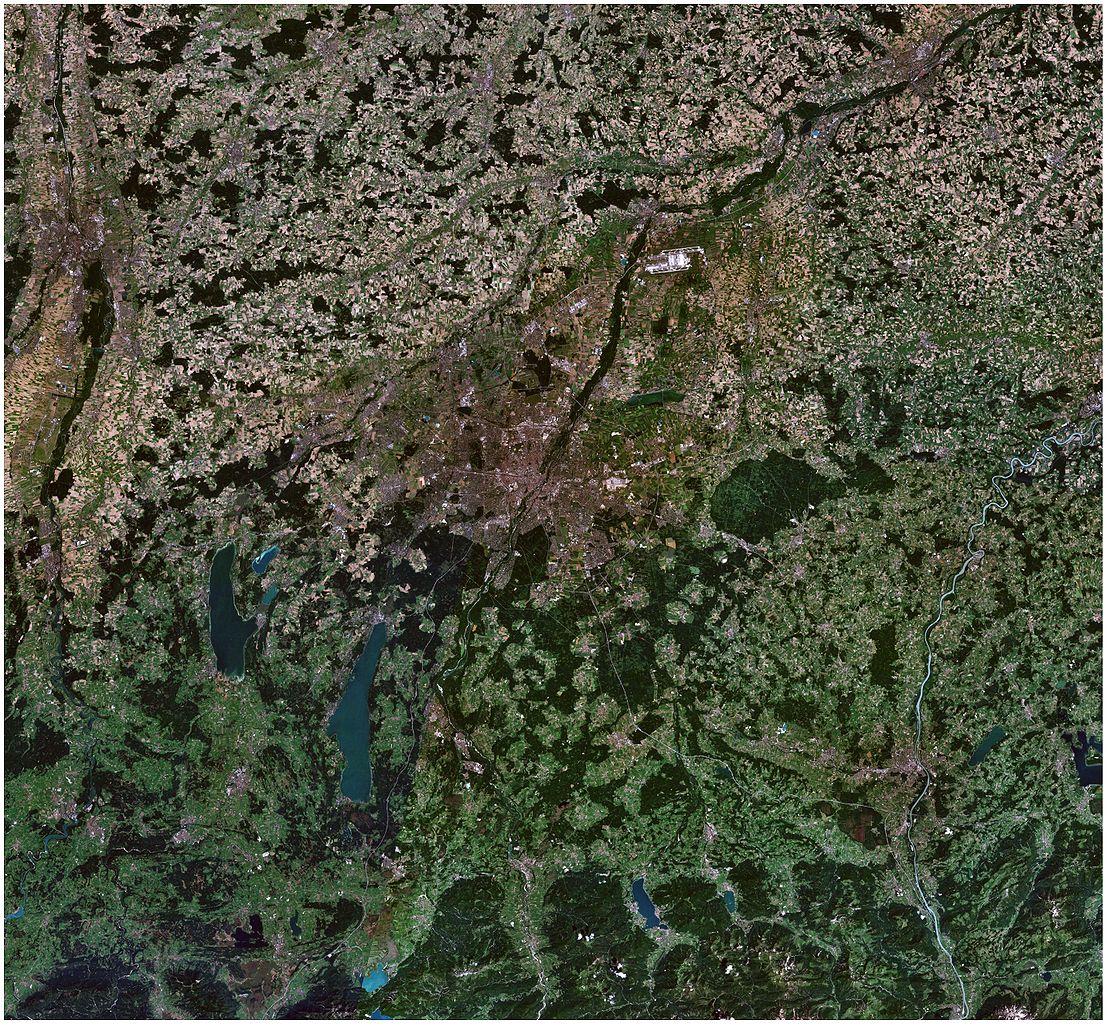
| current | 22:09, 21 June 2007 | | 5,726 × 5,296 (4.1 MB) | Chumwa | {{Information |Description= *{{ de }} Satellitenbild der Region München *{{ en }} Satellite picture of the Munich region |Source=Stitched together by myself, using * [http://worldwind.arc.nasa.gov/ NASA World Wind satellite images] |Date=June 2007 |Autho |
File usage
The following pages on the English Wikipedia use this file (pages on other projects are not listed):
Global file usage
The following other wikis use this file:
- Usage on ast.wikipedia.org
- Usage on ca.wikipedia.org
- Usage on de.wikipedia.org
- Usage on hu.wikipedia.org
- Usage on it.wikipedia.org
- Usage on lmo.wikipedia.org
- Usage on zh.wikipedia.org