
File:Quebec city, Canada 07.jpg
Size of this preview: 800 × 556 pixels. Other resolutions: 320 × 222 pixels | 640 × 445 pixels | 1,024 × 711 pixels | 1,280 × 889 pixels | 2,560 × 1,778 pixels | 5,644 × 3,921 pixels.
Original file (5,644 × 3,921 pixels, file size: 13.58 MB, MIME type: image/jpeg)
| This is a file from the Wikimedia Commons. Information from its description page there is shown below. Commons is a freely licensed media file repository. You can help. |
Summary
| Description |
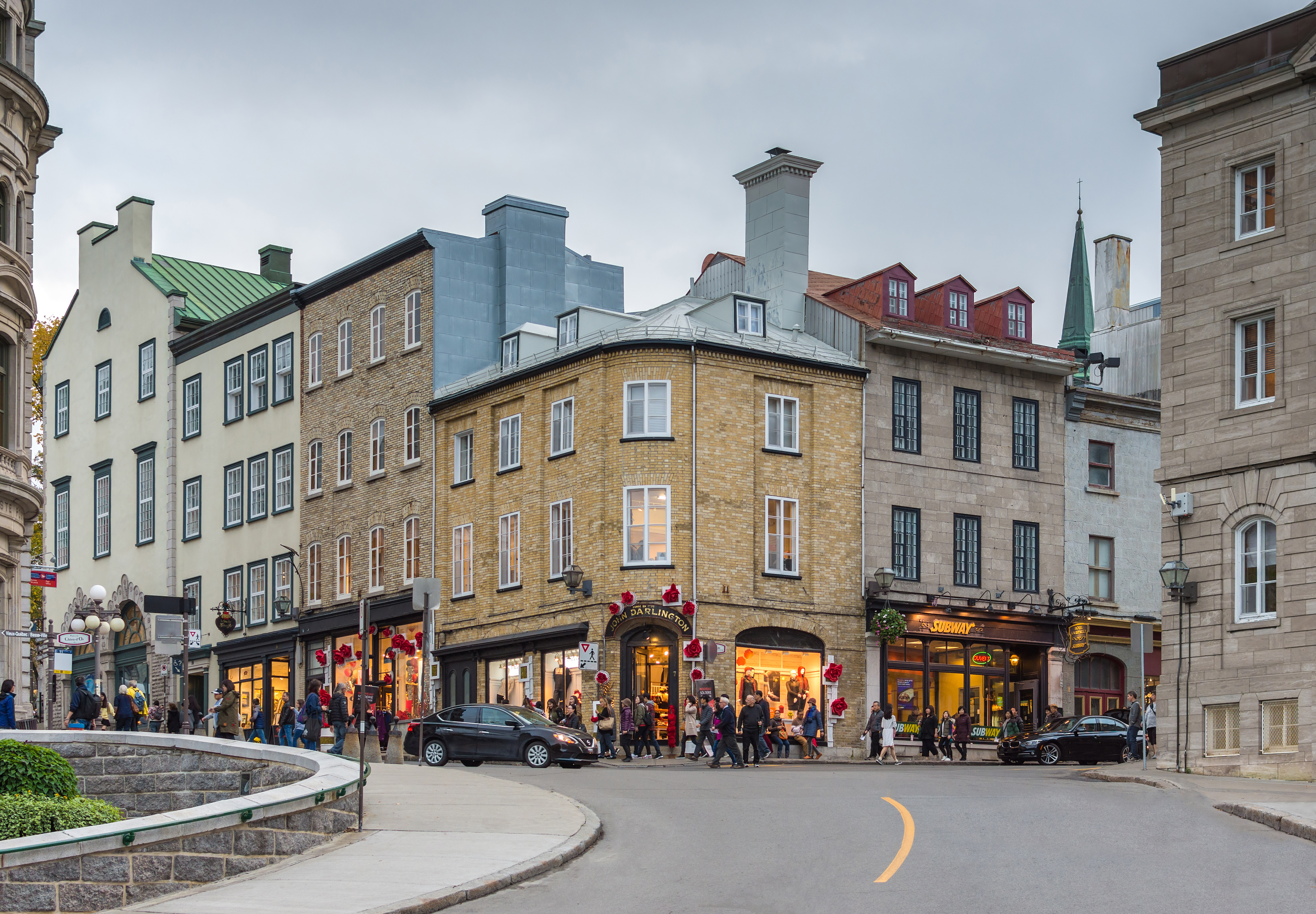
English: Quebec city, Canada Français : La rue Port-Dauphin, avec vue sur l'intersection de la rue du Fort et de la rue De Buade, à Québec (Québec, Canada) |
||
| Date | |||
| Source |
Own work
|
||
| Author | Wilfredor |
| Camera location | | View this and other nearby images on: OpenStreetMap |
|---|
Licensing
I, the copyright holder of this work, hereby publish it under the following license:
This file is licensed under the Creative Commons Attribution-Share Alike 4.0 International license.
- You are free:
- to share – to copy, distribute and transmit the work
- to remix – to adapt the work
- Under the following conditions:
- attribution – You must give appropriate credit, provide a link to the license, and indicate if changes were made. You may do so in any reasonable manner, but not in any way that suggests the licensor endorses you or your use.
- share alike – If you remix, transform, or build upon the material, you must distribute your contributions under the same or compatible license as the original.
This image has been assessed using the Quality image guidelines and is considered a Quality image.
|
|
The photographical reproduction of this work is covered under s. 32.2(1)(b) of the Copyright Act (Canada), which states:
|
File history
Click on a date/time to view the file as it appeared at that time.
| Date/Time | Thumbnail | Dimensions | User | Comment | |
|---|---|---|---|---|---|
| current | 01:00, 19 October 2017 | | 5,644 × 3,921 (13.58 MB) | Wilfredor | CA |
| 20:07, 15 October 2017 |  | 5,644 × 3,921 (12.95 MB) | Wilfredor | User created page with UploadWizard |
File usage
The following pages on the English Wikipedia use this file (pages on other projects are not listed):
Global file usage
The following other wikis use this file:
- Usage on ru.wikivoyage.org
- Usage on zh.wikipedia.org