
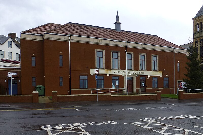
File:Portstewart Town Hall (geograph 3788441) (cropped).jpg

Size of this preview: 800 × 530 pixels. Other resolutions: 320 × 212 pixels | 640 × 424 pixels | 1,024 × 678 pixels | 1,280 × 848 pixels | 1,911 × 1,266 pixels.
Original file (1,911 × 1,266 pixels, file size: 1.09 MB, MIME type: image/jpeg)
| This is a file from the Wikimedia Commons. Information from its description page there is shown below. Commons is a freely licensed media file repository. You can help. |
_(cropped).jpg)
Summary
| Description | Portstewart Town Hall |
| Date | |
| Source |
This file was derived from: Portstewart Town Hall (geograph 3788441).jpg |
| Author | Kenneth Allen |
| Permission (Reusing this file) |
This file is licensed under the Creative Commons Attribution-Share Alike 2.0 Generic license. Attribution: Kenneth Allen
|
| Attribution (required by the license) | Kenneth Allen / Portstewart Town Hall / |
.jpg)
| Camera location | | View this and other nearby images on: OpenStreetMap |
|---|
_(cropped).jpg¶ms=055.183500_N_-006.719100_E_globe:Earth_type:camera_source:geograph-irishgrid(C81643812)_region:GB-NIR_heading:112.00&language=en)
| Object location | | View this and other nearby images on: OpenStreetMap |
|---|
_(cropped).jpg¶ms=055.183410_N_-006.718800_E_globe:Earth_class:object_type:object_source:geograph-irishgrid(C81663811)_region:GB-NIR_heading:112.00&language=en)
| This is a retouched picture, which means that it has been digitally altered from its original version. Modifications: cropped. The original can be viewed here: Portstewart Town Hall (geograph 3788441).jpg:
|
File history
Click on a date/time to view the file as it appeared at that time.
| Date/Time | Thumbnail | Dimensions | User | Comment | |
|---|---|---|---|---|---|
| current | 21:41, 13 December 2023 | | 1,911 × 1,266 (1.09 MB) | Bjh21 | Re-cropped from higher-resolution version: File:Portstewart Town Hall (geograph 3788441).jpg cropped 25 % horizontally, 34 % vertically using CropTool with lossless mode. |
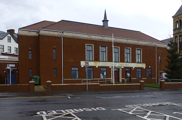
| 00:03, 20 June 2022 |  | 598 × 396 (89 KB) | Dormskirk | {{Information |Description =Portstewart Town Hall |Source =*File:Portstewart Town Hall (geograph 3788441).jpg |Author =Kenneth Allen |Date =23 December 2013 |Permission ={{PD-user|Kenneth Allen}} |other_versions = }} {{RetouchedPicture|cropped|editor=Dormskirk|orig=Portstewart Town Hall (geograph 3788441).jpg}} Category:Portstewart Town Hall |
.jpg)
File usage
The following pages on the English Wikipedia use this file (pages on other projects are not listed):
Global file usage
The following other wikis use this file:
- Usage on www.wikidata.org
_(cropped).jpg)