
File:Pecquencourt - Visite du Premier ministre Édouard Philippe dans la cité Lemay le 22 février 2018 (02).JPG

Size of this preview: 681 × 600 pixels. Other resolutions: 273 × 240 pixels | 545 × 480 pixels | 872 × 768 pixels | 1,163 × 1,024 pixels | 2,274 × 2,003 pixels.
Original file (2,274 × 2,003 pixels, file size: 1.32 MB, MIME type: image/jpeg)
| This is a file from the Wikimedia Commons. Information from its description page there is shown below. Commons is a freely licensed media file repository. You can help. |
Summary
| Description |
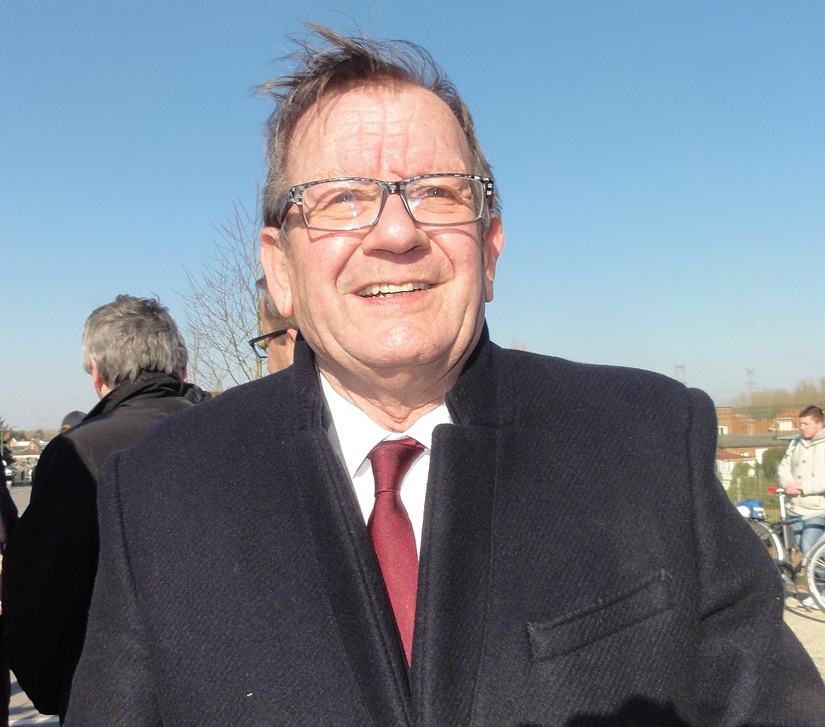
Français : Visite du Premier ministre Édouard Philippe dans la cité Lemay à Pecquencourt le 22 février 2018.
Depicted person: Alain Bruneel – member of French National Assembly |
|||||||||||||||||||||||
| Date | ||||||||||||||||||||||||
| Source | Own work | |||||||||||||||||||||||
| Author |
|
|||||||||||||||||||||||
| Permission (Reusing this file) |
| |||||||||||||||||||||||
| Attribution (required by the license) | Jérémy-Günther-Heinz Jähnick / Pecquencourt - Visite du Premier ministre Édouard Philippe dans la cité Lemay le 22 février 2018 (02) / Wikimedia Commons / | |||||||||||||||||||||||
.JPG)

.JPG)
| Camera location | | View this and other nearby images on: OpenStreetMap |
|---|
.JPG¶ms=050.370170_N_0003.225867_E_globe:Earth_type:camera_heading:29.50&language=en)
File history
Click on a date/time to view the file as it appeared at that time.
| Date/Time | Thumbnail | Dimensions | User | Comment | |
|---|---|---|---|---|---|
| current | 17:35, 22 February 2018 | | 2,274 × 2,003 (1.32 MB) | Jérémy-Günther-Heinz Jähnick |
File usage
The following pages on the English Wikipedia use this file (pages on other projects are not listed):
Global file usage
The following other wikis use this file:
- Usage on ca.wikipedia.org
- Usage on fr.wikipedia.org
- Usage on pcd.wikipedia.org
.JPG)