
File:Nz super rugby areas.svg

Size of this PNG preview of this SVG file: 800 × 566 pixels. Other resolutions: 320 × 226 pixels | 640 × 452 pixels | 1,024 × 724 pixels | 1,280 × 905 pixels | 2,560 × 1,810 pixels | 1,191 × 842 pixels.
Original file (SVG file, nominally 1,191 × 842 pixels, file size: 30 KB)
| This is a file from the Wikimedia Commons. Information from its description page there is shown below. Commons is a freely licensed media file repository. You can help. |
Summary
| Description |
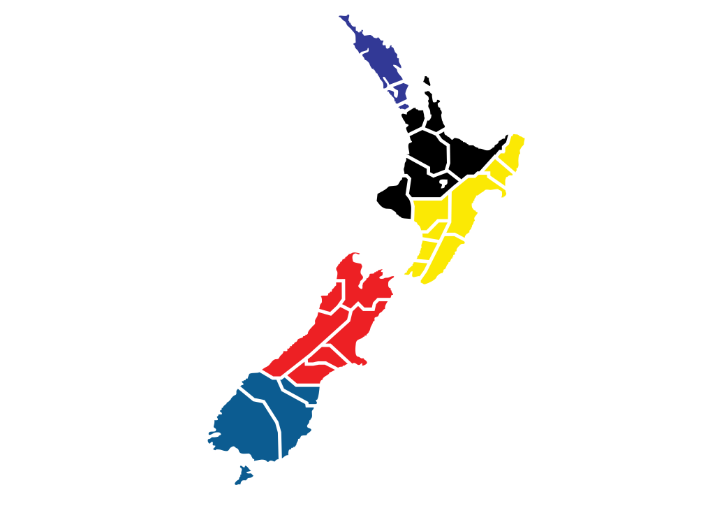
English: map of Super rugby provinces catchment areas, and related unions
|
| Date | |
| Source | Own work |
| Author | Hatgreg |
| SVG development | This map was created with Adobe Illustrator. |
Licensing
I, the copyright holder of this work, hereby publish it under the following license:
This file is licensed under the Creative Commons Attribution 3.0 Unported license.
- You are free:
- to share – to copy, distribute and transmit the work
- to remix – to adapt the work
- Under the following conditions:
- attribution – You must give appropriate credit, provide a link to the license, and indicate if changes were made. You may do so in any reasonable manner, but not in any way that suggests the licensor endorses you or your use.
File history
Click on a date/time to view the file as it appeared at that time.
| Date/Time | Thumbnail | Dimensions | User | Comment | |
|---|---|---|---|---|---|
| current | 09:55, 22 February 2014 | | 1,191 × 842 (30 KB) | Grapeman4 | Updated the Taranaki area to reflect switching to the Chiefs. |
| 03:25, 23 June 2010 |  | 1,191 × 842 (26 KB) | Hatgreg | {{Information |Description={{en|1=map of Super rugby provinces catchment areas, and related unions}} |Source={{own}} |Author=Hatgreg |Date=2010-06-23 |Permission= |other_versions= }} |
File usage
The following pages on the English Wikipedia use this file (pages on other projects are not listed):
Global file usage
The following other wikis use this file:
- Usage on af.wikipedia.org
- Usage on fr.wikipedia.org
- Usage on pl.wikipedia.org