
File:Northern Pacific Railroad map circa 1900 Schleisingerville.png
No higher resolution available.
Northern_Pacific_Railroad_map_circa_1900_Schleisingerville.png (481 × 282 pixels, file size: 323 KB, MIME type: image/png)
| This is a file from the Wikimedia Commons. Information from its description page there is shown below. Commons is a freely licensed media file repository. You can help. |
Summary
| Description |
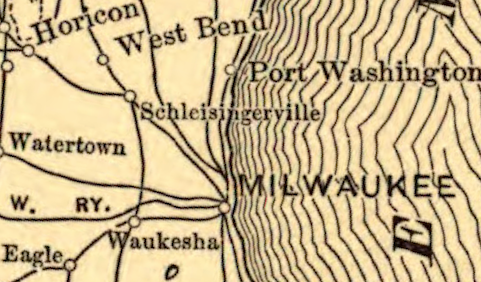
English: Derivative of File:Northern Pacific Railroad map circa 1900.jpg centered on Schleisingerville -- now Slinger -- Wisconsin |
| Date | |
| Source | File:Northern Pacific Railroad map circa 1900.jpg |
| Author | Map created by L.L. Poates Engr'g Co., New York, 1900. |
This file was derived from: Northern Pacific Railroad map circa 1900.jpg: 
Licensing
This work is in the public domain in the United States because it was published (or registered with the U.S. Copyright Office) before January 1, 1929.
Public domain works must be out of copyright in both the United States and in the source country of the work in order to be hosted on the Commons. If the work is not a U.S. work, the file must have an additional copyright tag indicating the copyright status in the source country.
Note: This tag should not be used for sound recordings. |
File history
Click on a date/time to view the file as it appeared at that time.
| Date/Time | Thumbnail | Dimensions | User | Comment | |
|---|---|---|---|---|---|
| current | 19:07, 6 June 2017 | | 481 × 282 (323 KB) | Runner1928 | User created page with UploadWizard |
File usage
The following pages on the English Wikipedia use this file (pages on other projects are not listed):