
File:NewCaledoniaTopography.png

Size of this preview: 781 × 600 pixels. Other resolutions: 313 × 240 pixels | 625 × 480 pixels | 1,000 × 768 pixels | 1,280 × 983 pixels | 2,399 × 1,842 pixels.
Original file (2,399 × 1,842 pixels, file size: 759 KB, MIME type: image/png)
| This is a file from the Wikimedia Commons. Information from its description page there is shown below. Commons is a freely licensed media file repository. You can help. |
Summary
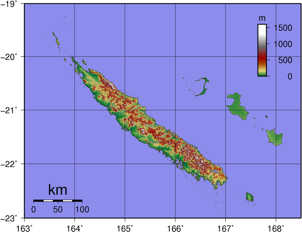
| Description | Topographic map of New Caledonia |
| Date | |
| Source | Created with GMT from publicly available SRTM data |
| Author | Sadalmelik |
Licensing
| I, the copyright holder of this work, release this work into the public domain. This applies worldwide. In some countries this may not be legally possible; if so: I grant anyone the right to use this work for any purpose, without any conditions, unless such conditions are required by law. |
File history
Click on a date/time to view the file as it appeared at that time.
| Date/Time | Thumbnail | Dimensions | User | Comment | |
|---|---|---|---|---|---|
| current | 12:31, 2 June 2007 | | 2,399 × 1,842 (759 KB) | Sadalmelik | |
| 21:06, 31 May 2007 |  | 2,399 × 1,842 (759 KB) | Sadalmelik | {{Information |Description=Topographic map of New Caledonia |Source=Created with GMT from publicly available SRTM data |Date=31st May 2007 |Author= User:Sadalmelik }} Category:Maps of New Caledonia Category:Topography |
File usage
The following pages on the English Wikipedia use this file (pages on other projects are not listed):
Global file usage
The following other wikis use this file:
- Usage on af.wikipedia.org
- Usage on cs.wikipedia.org
- Usage on de.wikipedia.org
- Usage on el.wikipedia.org
- Usage on es.wikipedia.org
- Usage on et.wikipedia.org
- Usage on fr.wikipedia.org
- Usage on pl.wikipedia.org
- Usage on pt.wikipedia.org
- Usage on ru.wikipedia.org