File:NAT-WestSide.png

Size of this preview: 328 × 599 pixels. Other resolutions: 131 × 240 pixels | 626 × 1,144 pixels.
Original file (626 × 1,144 pixels, file size: 661 KB, MIME type: image/png)
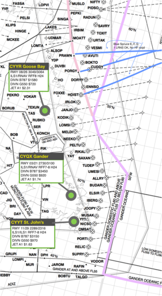
Gander boundary points, Excerpt from Flight Service Bureau map, Creative Commons
| I, the copyright holder of this work, hereby release it into the public domain. This applies worldwide. If this is not legally possible: |
File history
Click on a date/time to view the file as it appeared at that time.
| Date/Time | Thumbnail | Dimensions | User | Comment | |
|---|---|---|---|---|---|
| current | 09:35, 24 February 2017 |  | 626 × 1,144 (661 KB) | Coisabh (talk | contribs) | Gander boundary points, Excerpt from Flight Service Bureau map, Creative Commons |
You cannot overwrite this file.
File usage
The following pages on the English Wikipedia use this file (pages on other projects are not listed):
