
File:Moxahala Creek valley in Bearfield Township.jpg

Size of this preview: 800 × 450 pixels. Other resolutions: 320 × 180 pixels | 640 × 360 pixels | 1,024 × 576 pixels | 1,280 × 720 pixels | 2,816 × 1,584 pixels.
Original file (2,816 × 1,584 pixels, file size: 870 KB, MIME type: image/jpeg)
| This is a file from the Wikimedia Commons. Information from its description page there is shown below. Commons is a freely licensed media file repository. You can help. |
| Camera location | | View this and other nearby images on: OpenStreetMap |
|---|
| Description |
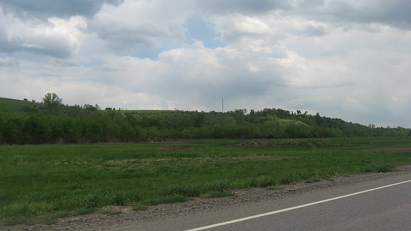
English: Fields and hills along Moxahala Creek south of Crooksville in northern Bearfield Township, Perry County, Ohio, United States. The scene is immediately south of the Township Road 402 intersection, and the picture is taken from a southbound car on State Route 93. |
||
| Date | Taken on 13 May 2013 | ||
| Source | Own work | ||
| Author | Nyttend | ||
| Permission (Reusing this file) |
|
File history
Click on a date/time to view the file as it appeared at that time.
| Date/Time | Thumbnail | Dimensions | User | Comment | |
|---|---|---|---|---|---|
| current | 17:44, 19 May 2013 | | 2,816 × 1,584 (870 KB) | Nyttend | {{Location|39|42|56|N|82|6|56|W}} {{Information |Description={{en|Fields and hills along {{w|Moxahala Creek}} south of {{w|Crooksville, Ohio|Crooksville}} in northern {{w|Bearfield Township, Perry County, Ohio|Bearfield Township}}, {{w|Perry County, Oh... |
File usage
The following pages on the English Wikipedia use this file (pages on other projects are not listed):
Global file usage
The following other wikis use this file:
- Usage on ar.wikipedia.org
- Usage on ceb.wikipedia.org
- Usage on es.wikipedia.org
- Usage on eu.wikipedia.org
- Usage on fa.wikipedia.org
- Usage on pt.wikipedia.org
- Usage on ur.wikipedia.org
- Usage on vi.wikipedia.org
- Usage on www.wikidata.org
- Usage on zh.wikipedia.org