
File:Map of Kagawa Prefecture Ja.svg

Original file (SVG file, nominally 597 × 409 pixels, file size: 14 KB)
| This is a file from the Wikimedia Commons. Information from its description page there is shown below. Commons is a freely licensed media file repository. You can help. |
Summary
| Description |
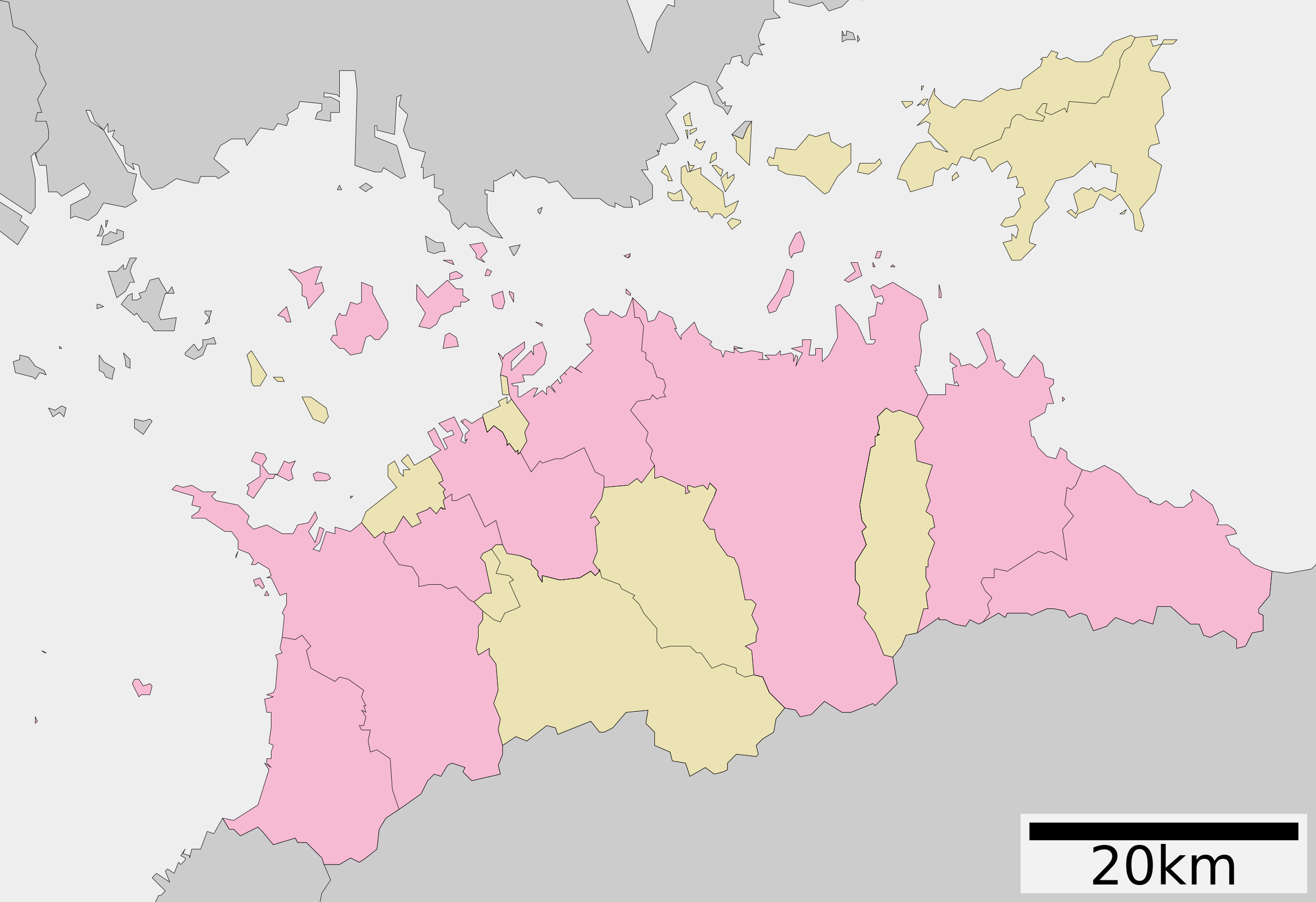
English: Map of Kagawa prefecture, Japan.
日本語: ja:香川県区画図 |
||
| Date | (UTC) | ||
| Source |
|
||
| Author | Lincun | ||
| Permission (Reusing this file) |
|
Licensing

|
Permission is granted to copy, distribute and/or modify this document under the terms of the GNU Free Documentation License, Version 1.2 or any later version published by the Free Software Foundation; with no Invariant Sections, no Front-Cover Texts, and no Back-Cover Texts. A copy of the license is included in the section entitled GNU Free Documentation License. |
- You are free:
- to share – to copy, distribute and transmit the work
- to remix – to adapt the work
- Under the following conditions:
- attribution – You must give appropriate credit, provide a link to the license, and indicate if changes were made. You may do so in any reasonable manner, but not in any way that suggests the licensor endorses you or your use.
- share alike – If you remix, transform, or build upon the material, you must distribute your contributions under the same or compatible license as the original.
Original upload log
| This file was moved from Japanese Wikipedia.
See below for original file information. | ||||||||||||||||||||||||||||||||||||
| ||||||||||||||||||||||||||||||||||||
|
| ||||||||||||||||||||||||||||||||||||
File history
Click on a date/time to view the file as it appeared at that time.
| Date/Time | Thumbnail | Dimensions | User | Comment | |
|---|---|---|---|---|---|
| current | 04:33, 4 December 2020 | | 597 × 409 (14 KB) | AichiWikiFixer | Update borders and fixes. |
| 04:53, 8 December 2013 |  | 615 × 455 (17 KB) | ニンジンシチュー | デザイン変更 | |
| 04:52, 8 December 2013 |  | 615 × 455 (17 KB) | ニンジンシチュー | デザイン変更 | |
| 07:38, 22 September 2009 |  | 620 × 532 (10 KB) | Monaneko | {{Information |Description={{en|1=Map of Kagawa prefecture, Japan.}} {{ja|1=香川県の地図}} |Source=ja:File:包括自治体区画図 37000.svg |Author=ja:User:Lincun |Date=2007-10-27 10:45 (UTC) |Permission= |other_versions= }} [[Category: | |
| 10:45, 27 October 2007 |  | 620 × 532 (10 KB) | Lincun | {{基礎自治体位置図画像情報|香川県|}} |
File usage
Global file usage
The following other wikis use this file:
- Usage on de.wikipedia.org
- Usage on hu.wikipedia.org
- Usage on ja.wikipedia.org
- 香川県
- 四国八十八箇所
- 瀬戸大橋
- 丸亀城
- ニューレオマワールド
- 善通寺
- ゴールドタワー
- 高松空港
- 香川県立三本松高等学校
- 高松城 (讃岐国)
- 香川県営野球場
- 詫間電波工業高等専門学校
- 金刀比羅宮
- 高松工業高等専門学校
- 英明高等学校
- 坂出第一高等学校
- 香川県立高瀬高等学校
- 津嶋神社 (三豊市)
- 四国学院大学香川西高等学校
- 塩飽諸島
- 香川県立丸亀競技場
- 香川県立善通寺第一高等学校
- 香川県立多度津高等学校
- 香川県立丸亀城西高等学校
- 高松シンボルタワー
- 田村神社 (高松市)
- 香川県立高松桜井高等学校
- 香川県立高松西高等学校
- 香川県立坂出高等学校
- 香川県立坂出商業高等学校
- 香川県立坂出工業高等学校
- 高松中央高等学校
- 大手前高松中学・高等学校
- 香川県警察
- 引田城
- 香川県立笠田高等学校
- 福善寺
- 金倉寺
- 香川誠陵中学・高等学校
- 下津井瀬戸大橋
- 本台山城
- 高松第一高等学校
- 志度寺
- 鶴尾神社
- 櫃石島橋
- 香川県立志度高等学校
- 香川県営サッカー・ラグビー場
View more global usage of this file.