
File:Koppen-Geiger Map v2 Europe 1991–2020.svg

Size of this PNG preview of this SVG file: 800 × 374 pixels. Other resolutions: 320 × 150 pixels | 640 × 300 pixels | 1,024 × 479 pixels | 1,280 × 599 pixels | 2,560 × 1,198 pixels | 1,816 × 850 pixels.
Original file (SVG file, nominally 1,816 × 850 pixels, file size: 6.11 MB)
| This is a file from the Wikimedia Commons. Information from its description page there is shown below. Commons is a freely licensed media file repository. You can help. |
| Camera location | | View this and other nearby images on: OpenStreetMap |
|---|
This file is licensed under the Creative Commons Attribution 4.0 International license.
- You are free:
- to share – to copy, distribute and transmit the work
- to remix – to adapt the work
- Under the following conditions:
- attribution – You must give appropriate credit, provide a link to the license, and indicate if changes were made. You may do so in any reasonable manner, but not in any way that suggests the licensor endorses you or your use.
File history
Click on a date/time to view the file as it appeared at that time.
| Date/Time | Thumbnail | Dimensions | User | Comment | |
|---|---|---|---|---|---|
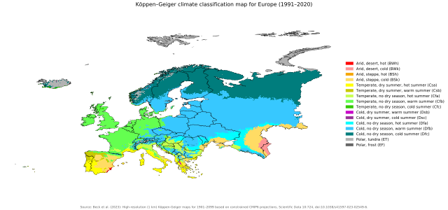
| current | 14:55, 24 March 2024 | | 1,816 × 850 (6.11 MB) | NVergopolan | {{Information |description={{en| Köppen–Geiger climate classification map at 1-km resolution for Europe 1991–2020 }}|date=2024-03-19|source={{cite journal | title=High-resolution (1 km) Köppen-Geiger maps for 1901–2099 based on constrained CMIP6 projections| journal=Scientific Data |doi=10.1038/s41597-023-02549-6}}|author=Beck, H.E., McVicar, T.R., Vergopolan, N., Alexis, B., Lutsko, N.J., Dufour, A., Zeng, Z., Jian, X., van Dijk, A.I.J.M., Miralles, D.G.|other_versions={{ Other versions | Ko... |
File usage
The following pages on the English Wikipedia use this file (pages on other projects are not listed):