
File:Igitkin Island.jpg

Size of this preview: 800 × 531 pixels. Other resolutions: 320 × 213 pixels | 640 × 425 pixels | 1,024 × 680 pixels | 1,280 × 850 pixels | 2,560 × 1,700 pixels | 4,288 × 2,848 pixels.
Original file (4,288 × 2,848 pixels, file size: 5.98 MB, MIME type: image/jpeg)
| This is a file from the Wikimedia Commons. Information from its description page there is shown below. Commons is a freely licensed media file repository. You can help. |
Summary
| Camera location | | View this and other nearby images on: OpenStreetMap |
|---|
| Description |
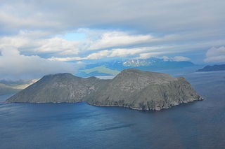
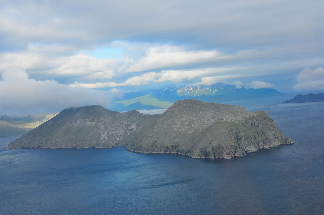
English: Igitkin Island, Great Sitkin Island in the background
Deutsch: Igitkin Island, Great Sitkin Island im Hintergrund |
| Date | |
| Source | http://www.avo.alaska.edu/image.php?id=16109 |
| Author | Chris Waythomas |
Licensing
This image is in the public domain in the United States because it only contains materials that originally came from the United States Geological Survey, an agency of the United States Department of the Interior. For more information, see the official USGS copyright policy.
|
File history
Click on a date/time to view the file as it appeared at that time.
| Date/Time | Thumbnail | Dimensions | User | Comment | |
|---|---|---|---|---|---|
| current | 14:42, 16 February 2009 | | 4,288 × 2,848 (5.98 MB) | Ulrich Kaden | {{Information |Description={{en|1=Igitkin Island, Great Sitkin Island in the background}} {{de|1=Igitkin Island, Great Sitkin Island im Hintergrund}} |Source=http://images.google.de/imgres?imgurl=http://www.avo.alaska.edu/images/dbimages/display/122757651 |
File usage
The following pages on the English Wikipedia use this file (pages on other projects are not listed):
Global file usage
The following other wikis use this file:
- Usage on az.wikipedia.org
- Usage on ca.wikipedia.org
- Usage on ceb.wikipedia.org
- Usage on cs.wikipedia.org
- Usage on de.wikipedia.org
- Usage on fr.wikipedia.org
- Usage on it.wikipedia.org
- Usage on ru.wikipedia.org
- Usage on sr.wiktionary.org
- Usage on uk.wikipedia.org
- Usage on www.wikidata.org
- Usage on zh.wikipedia.org