
File:Dr.-Karl-Renner-Hof.WienerNeustadt.Aa.jpg
Size of this preview: 800 × 533 pixels. Other resolutions: 320 × 213 pixels | 640 × 427 pixels | 1,024 × 683 pixels | 1,280 × 853 pixels | 2,560 × 1,707 pixels | 4,752 × 3,168 pixels.
Original file (4,752 × 3,168 pixels, file size: 4.85 MB, MIME type: image/jpeg)
| This is a file from the Wikimedia Commons. Information from its description page there is shown below. Commons is a freely licensed media file repository. You can help. |
Summary
| Description |
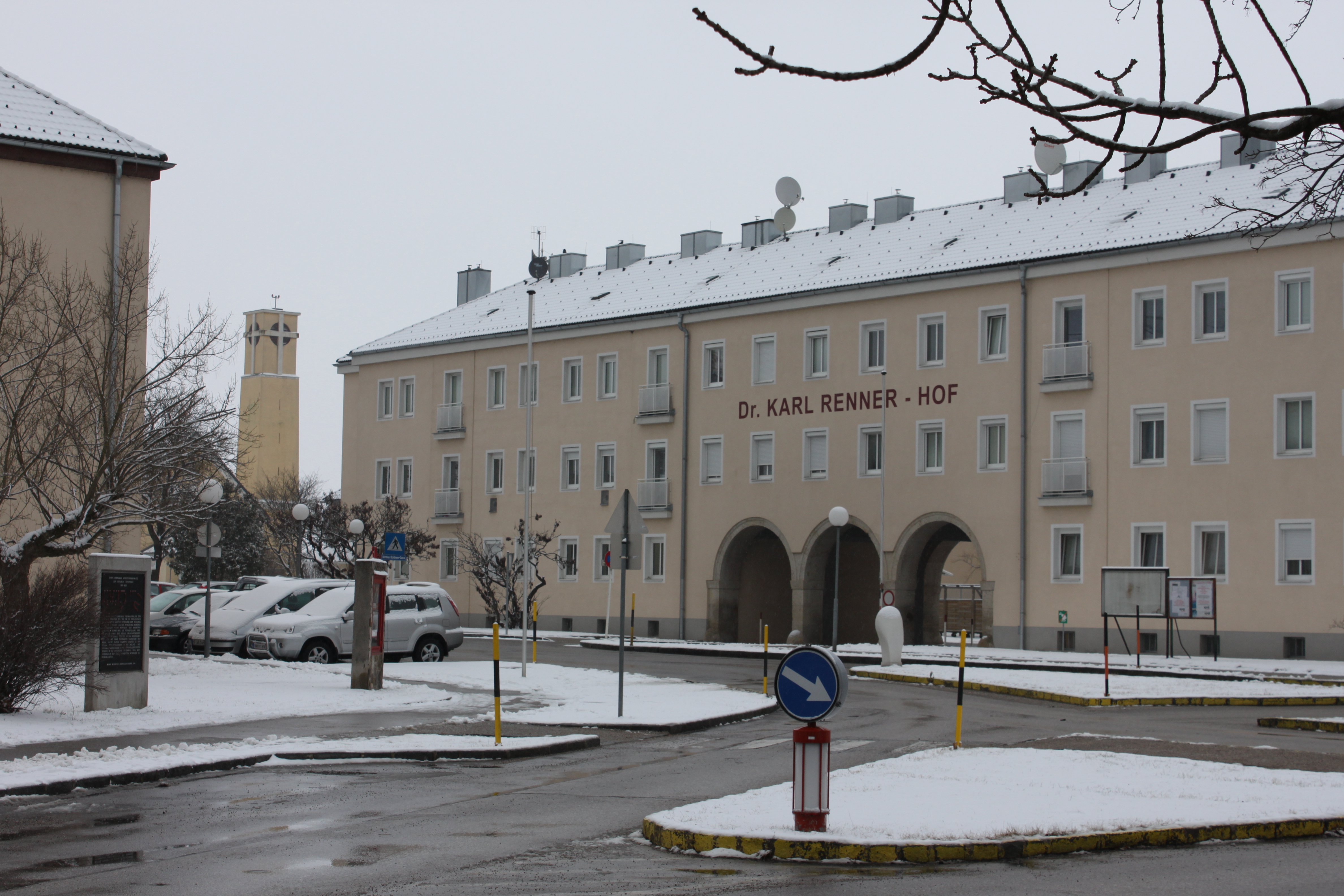
Deutsch: Dr.-Karl-Renner-Hof in Wiener Neustadt, im Hintergrund der Kirchturm von St. Anton am Flugfeld am Flugfeldgürtel, hier mündet die Fliegergasse in die Wöllersdorfer Straße |
| Date | |
| Source | Own work |
| Author | Anton-kurt |
| Object location | | View this and other nearby images on: OpenStreetMap |
|---|
Licensing
| I, the copyright holder of this work, release this work into the public domain. This applies worldwide. In some countries this may not be legally possible; if so: I grant anyone the right to use this work for any purpose, without any conditions, unless such conditions are required by law. |
File history
Click on a date/time to view the file as it appeared at that time.
| Date/Time | Thumbnail | Dimensions | User | Comment | |
|---|---|---|---|---|---|
| current | 15:33, 22 June 2010 | | 4,752 × 3,168 (4.85 MB) | Anton-kurt | {{Information |Description={{de|1=Dr.-Karl-Renner-Hof in Wiener Neustadt, im Hintergrund der Kirchturm von St. Anton am Flugfeld am Flugfeldgürtel, hier mündet die Flieger |
File usage
The following pages on the English Wikipedia use this file (pages on other projects are not listed):
Global file usage
The following other wikis use this file:
- Usage on de.wikipedia.org
- Usage on et.wikipedia.org
- Usage on vi.wikipedia.org
- Usage on www.wikidata.org