
File:Dorset UK unitary authority map (blank).svg

Size of this PNG preview of this SVG file: 800 × 556 pixels. Other resolutions: 320 × 222 pixels | 640 × 445 pixels | 1,024 × 711 pixels | 1,280 × 889 pixels | 2,560 × 1,779 pixels | 1,425 × 990 pixels.
Original file (SVG file, nominally 1,425 × 990 pixels, file size: 753 KB)
| This is a file from the Wikimedia Commons. Information from its description page there is shown below. Commons is a freely licensed media file repository. You can help. |
.svg)
Summary
| Description |
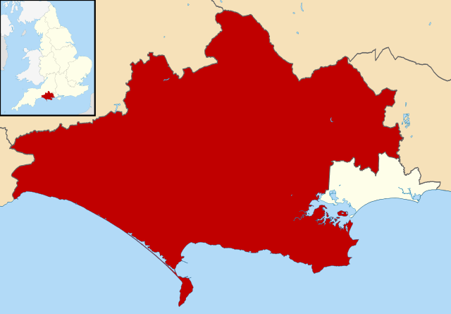
English: Map of Dorset (ceremonial county), UK with unitary authorities shown. |
| Date | |
| Source | File:Dorset_UK_district_map_(blank).svg |
| Author | User:Nilfanion |
.svg)
Licensing
This file is licensed under the Creative Commons Attribution-Share Alike 3.0 Unported license.
- You are free:
- to share – to copy, distribute and transmit the work
- to remix – to adapt the work
- Under the following conditions:
- attribution – You must give appropriate credit, provide a link to the license, and indicate if changes were made. You may do so in any reasonable manner, but not in any way that suggests the licensor endorses you or your use.
- share alike – If you remix, transform, or build upon the material, you must distribute your contributions under the same or compatible license as the original.
File history
Click on a date/time to view the file as it appeared at that time.
| Date/Time | Thumbnail | Dimensions | User | Comment | |
|---|---|---|---|---|---|
| current | 23:39, 8 August 2020 | | 1,425 × 990 (753 KB) | Rcsprinter123 | new version |
| 15:19, 4 May 2019 |  | 512 × 356 (758 KB) | Boggard | User created page with UploadWizard |
File usage
The following pages on the English Wikipedia use this file (pages on other projects are not listed):
Global file usage
The following other wikis use this file:
- Usage on ceb.wikipedia.org
- Usage on cy.wikipedia.org
- Usage on de.wikipedia.org
- Usage on pl.wikipedia.org
- Usage on sv.wikipedia.org
.svg)