
File:Cordillera de Apolobamba Bolivia Perú 69.27623W 14.png

Size of this preview: 800 × 590 pixels. Other resolutions: 320 × 236 pixels | 640 × 472 pixels | 1,024 × 755 pixels | 1,278 × 942 pixels.
Original file (1,278 × 942 pixels, file size: 2.92 MB, MIME type: image/png)
| This is a file from the Wikimedia Commons. Information from its description page there is shown below. Commons is a freely licensed media file repository. You can help. |
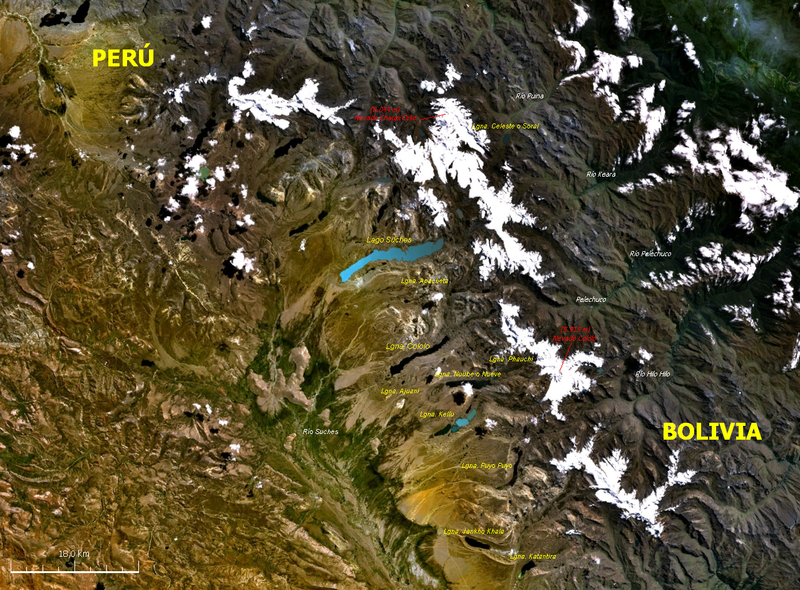
| Description | Imagen satelital de la cordillera de Apolobamba ubicada entre Bolivia y Perú. | |||
| Source | Nasa WorldWind | |||
| Author | NASA | |||
| Other versions |
|

File history
Click on a date/time to view the file as it appeared at that time.
| Date/Time | Thumbnail | Dimensions | User | Comment | |
|---|---|---|---|---|---|
| current | 13:03, 3 January 2008 | | 1,278 × 942 (2.92 MB) | Paris88 | {{Information |Description= Imagen satelital de la cordillera de Apolobamba ubicada entre Bolivia y Perú. |Source= Nasa WorldWind |Date= |Author= NASA |Permission= see below |other_versions={{PD-WorldWind}} }} Category:Satellite pictures of Bolivia |
File usage
The following pages on the English Wikipedia use this file (pages on other projects are not listed):
Global file usage
The following other wikis use this file:
- Usage on arz.wikipedia.org
- Usage on ay.wikipedia.org
- Usage on de.wikipedia.org
- Usage on es.wikipedia.org
- Usage on pt.wikipedia.org
- Usage on qu.wikipedia.org
- Apulupampa walla
- Chawpi Urqu
- Qala Phusa
- Palumani
- Nuwi
- Kanisaya
- Chinchay Montserrat
- K'uchillu
- Chawpi Qhatantika
- Asu Q'arani
- Akhamani
- Apulupampa sallqa pacha suyu
- Q'ululu Quta
- Kallihun
- Wanakuni
- Machu Such'i Qhuchi
- Kunturkiña
- Kalihun
- Qhunakunka
- Surapata
- Ch'uxña Quta rit'i urqu
- Lusuqucha rit'i urqu
- Ñakariya
- Qurwari
- Chapi rit'i urqu
- Wila Quta urqu (Sandia)
- Salluyu
- Apulu 11 urqu
- Radioafición
- Bures
- Kunti Qhatantika
- Monte Alba
- Lluqu Lluqu
View more global usage of this file.