
File:Clinton Township wheat fields.jpg

Size of this preview: 800 × 532 pixels. Other resolutions: 320 × 213 pixels | 640 × 426 pixels | 1,024 × 681 pixels | 1,280 × 851 pixels | 2,560 × 1,702 pixels | 6,016 × 4,000 pixels.
Original file (6,016 × 4,000 pixels, file size: 7.14 MB, MIME type: image/jpeg)
| This is a file from the Wikimedia Commons. Information from its description page there is shown below. Commons is a freely licensed media file repository. You can help. |
| Camera location | | View this and other nearby images on: OpenStreetMap |
|---|
| Description |
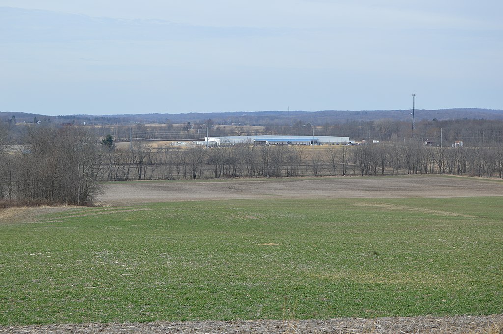
English: Scenery in far southeastern Clinton Township, Knox County, Ohio, United States, seen looking west from the intersection of State Route 13 and Range Line Road. The large building in the background is a Sanoh America manufacturing plant for automotive parts, located within the Mount Vernon city limits. |
||
| Date | Taken on 7 March 2016 | ||
| Source | Own work | ||
| Author | Nyttend | ||
| Permission (Reusing this file) |
|
File history
Click on a date/time to view the file as it appeared at that time.
| Date/Time | Thumbnail | Dimensions | User | Comment | |
|---|---|---|---|---|---|
| current | 12:17, 23 March 2016 | | 6,016 × 4,000 (7.14 MB) | Nyttend | {{Location|40|20|46|N|82|28|14|W}} {{Information |Description={{en|Scenery in far southeastern {{w|Clinton Township, Knox County, Ohio|Clinton Township}}, {{w|Knox County, Ohio|Knox County}}, {{w|Ohio}}, {{w|United States}}, seen looking west from the... |
File usage
The following pages on the English Wikipedia use this file (pages on other projects are not listed):
Global file usage
The following other wikis use this file:
- Usage on es.wikipedia.org
- Usage on eu.wikipedia.org
- Usage on fa.wikipedia.org
- Usage on pt.wikipedia.org
- Usage on ur.wikipedia.org
- Usage on vi.wikipedia.org
- Usage on www.wikidata.org