
File:California State Route 211.jpg
Size of this preview: 395 × 599 pixels. Other resolutions: 158 × 240 pixels | 316 × 480 pixels | 506 × 768 pixels | 1,024 × 1,553 pixels.
Original file (1,024 × 1,553 pixels, file size: 1.27 MB, MIME type: image/jpeg)
| This is a file from the Wikimedia Commons. Information from its description page there is shown below. Commons is a freely licensed media file repository. You can help. |
Summary
| Description |
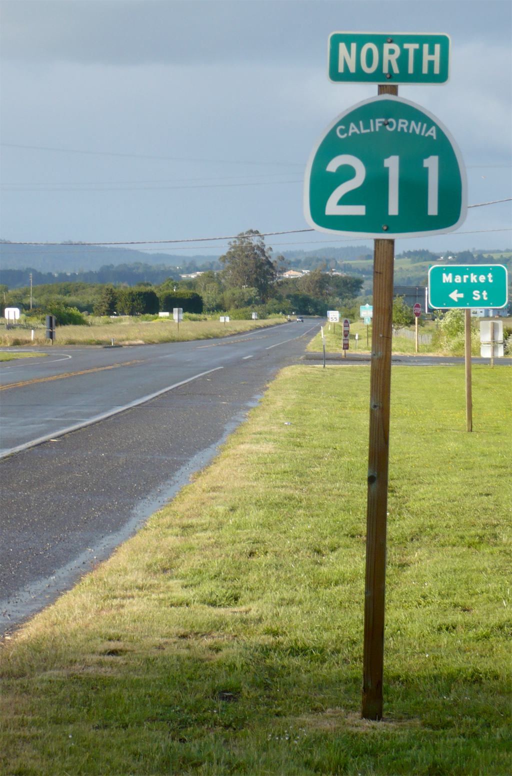
English: View along California Route 211 looking North at Market Street at the northern city limits of the city of Ferndale, California. Route 211 goes between Ferndale and Fernbridge. A proposed southern extension south of Ferndale will probably never be built |
||
| Date | |||
| Source | Original Photograph | ||
| Author | Ellin Beltz | ||
| Permission (Reusing this file) |
{
|
| Camera location | | View this and other nearby images on: OpenStreetMap |
|---|
File history
Click on a date/time to view the file as it appeared at that time.
| Date/Time | Thumbnail | Dimensions | User | Comment | |
|---|---|---|---|---|---|
| current | 23:23, 24 July 2011 | | 1,024 × 1,553 (1.27 MB) | Ellin Beltz | {{Information |Description ={{en|1=View along California Route 211 looking North at Market Street at the northern city limits of the city of Ferndale, California. Route 211 goes between Ferndale and Fernbridge. A proposed southern extension south of |
File usage
The following pages on the English Wikipedia use this file (pages on other projects are not listed):
Global file usage
The following other wikis use this file:
- Usage on es.wikipedia.org
- Usage on www.wikidata.org