
File:Caldeira faial.jpg
Size of this preview: 800 × 235 pixels. Other resolutions: 320 × 94 pixels | 640 × 188 pixels | 1,024 × 301 pixels | 1,280 × 376 pixels | 3,860 × 1,134 pixels.
Original file (3,860 × 1,134 pixels, file size: 1.69 MB, MIME type: image/jpeg)
| This is a file from the Wikimedia Commons. Information from its description page there is shown below. Commons is a freely licensed media file repository. You can help. |
Summary
| Description |
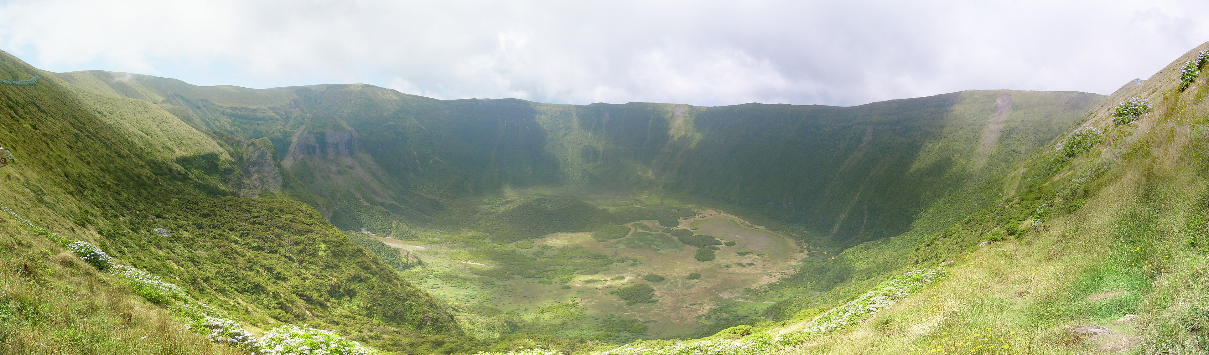
English: Faial Caldera, Faial Island, Azores, Portugal
Português: Caldeira do Faial, Ilha do Faial, Açores, Portugal |
| Source | Own work |
| Author | myself |
| Camera location | | View this and other nearby images on: OpenStreetMap |
|---|
Licensing
| I, the copyright holder of this work, release this work into the public domain. This applies worldwide. In some countries this may not be legally possible; if so: I grant anyone the right to use this work for any purpose, without any conditions, unless such conditions are required by law. |
File history
Click on a date/time to view the file as it appeared at that time.
| Date/Time | Thumbnail | Dimensions | User | Comment | |
|---|---|---|---|---|---|
| current | 20:02, 24 August 2008 | 3,860 × 1,134 (1.69 MB) | Weedonio | {{Information |Description={{en|1=Faial Caldera, Faial Island, Azores, Portugal}} {{pt|1=Caldeira do Faial, Ilha do Faial, Açores, Portugal}} |Source=own work |Author=myself |Date= |Permission= |other_versions= }} {{location dec|38.57930553828261|N|28.71 |
File usage
The following pages on the English Wikipedia use this file (pages on other projects are not listed):
Global file usage
The following other wikis use this file:
- Usage on arz.wikipedia.org
- Usage on ca.wikipedia.org
- Usage on ceb.wikipedia.org
- Usage on de.wikipedia.org
- Usage on de.wikivoyage.org
- Usage on es.wikipedia.org
- Usage on gl.wikipedia.org
- Usage on hu.wikipedia.org
- Usage on lld.wikipedia.org
- Usage on mk.wikipedia.org
- Usage on nn.wikipedia.org
- Usage on sl.wikipedia.org
- Usage on www.wikidata.org