
File:Byylot summer 2012.jpg

No higher resolution available.
Byylot_summer_2012.jpg (720 × 480 pixels, file size: 118 KB, MIME type: image/jpeg)
| This is a file from the Wikimedia Commons. Information from its description page there is shown below. Commons is a freely licensed media file repository. You can help. |
| Description |
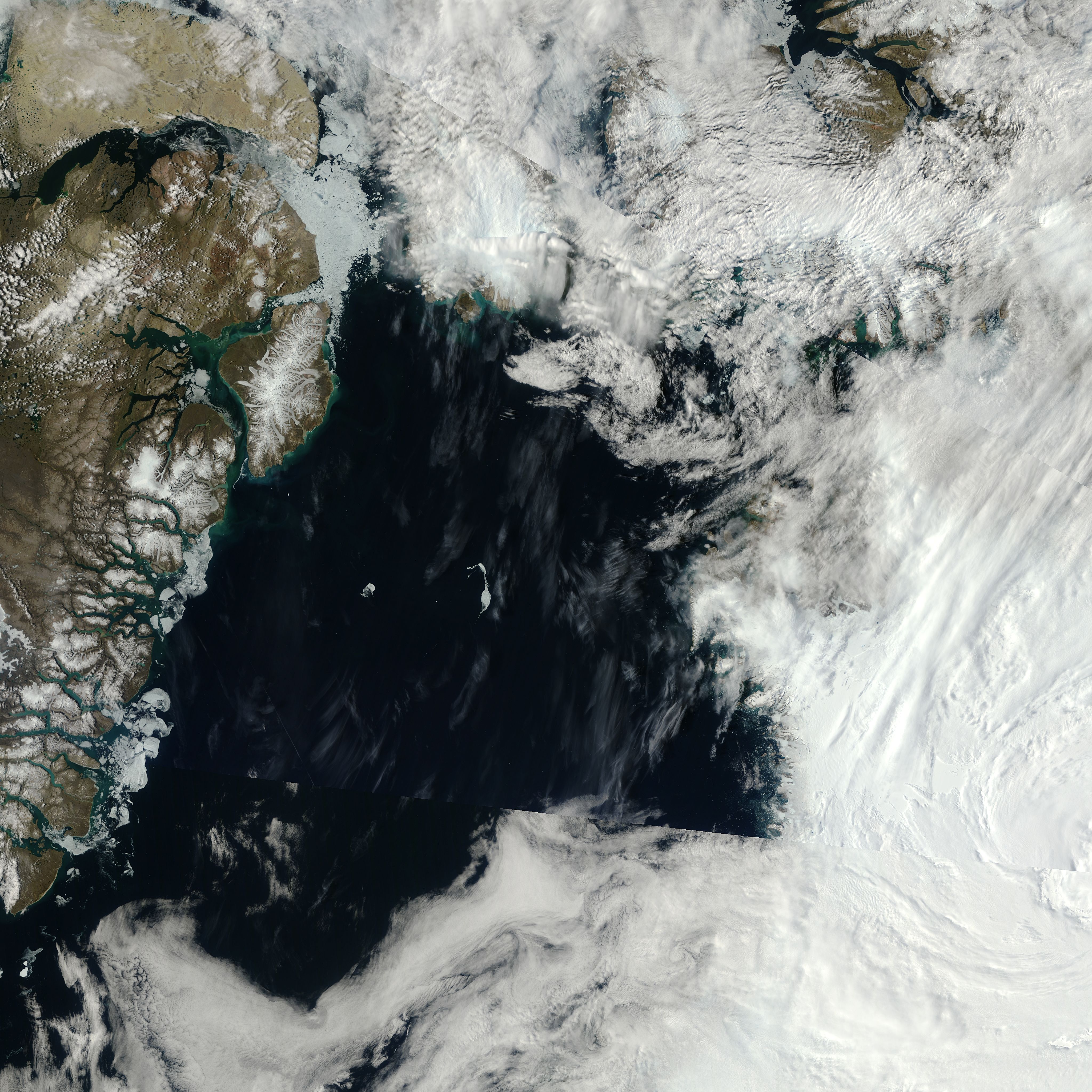
English: Part of the Canadian Arctic Archipelago, Bylot Island is a 11,000-square-kilometer (4,200-square-mile) island within Canada’s Sirmilik National Park. In wintertime, snow and ice blanket the island in white, but in summertime, Bylot’s glaciers contrast with its earth-toned land cover. The Moderate Resolution Imaging Spectroradiometer (MODIS) on NASA’s Terra satellite observed Bylot Island on March 9, 2012 (top), and July 22, 2012 (bottom) |
|||||
| Date | acquired July 22, 2012 | |||||
| Source | http://earthobservatory.nasa.gov/IOTD/view.php?id=79813&src=eoa-iotd | |||||
| Author | NASA, MODIS on NASA’s Terra satellite | |||||
| Permission (Reusing this file) |
|
|||||
| Other versions | Larger image |

File history
Click on a date/time to view the file as it appeared at that time.
| Date/Time | Thumbnail | Dimensions | User | Comment | |
|---|---|---|---|---|---|
| current | 04:52, 14 December 2012 | | 720 × 480 (118 KB) | Tillman | {{Information |Description ={{en|1=Part of the Canadian Arctic Archipelago, Bylot Island is a 11,000-square-kilometer (4,200-square-mile) island within Canada’s Sirmilik National Park. In wintertime, snow and ice blanket the island in white, but i... |
File usage
The following pages on the English Wikipedia use this file (pages on other projects are not listed):
Global file usage
The following other wikis use this file:
- Usage on af.wikipedia.org
- Usage on bg.wikipedia.org
- Usage on el.wikipedia.org
- Usage on es.wikipedia.org
- Usage on fa.wikipedia.org
- Usage on lv.wikipedia.org
- Usage on ml.wikipedia.org
- Usage on pl.wikipedia.org
- Usage on sl.wikipedia.org
- Usage on sw.wikipedia.org