
File:BurntCoat Head Park.jpg
Size of this preview: 800 × 454 pixels. Other resolutions: 320 × 182 pixels | 640 × 363 pixels | 1,024 × 581 pixels | 1,280 × 726 pixels | 2,000 × 1,135 pixels.
Original file (2,000 × 1,135 pixels, file size: 1,015 KB, MIME type: image/jpeg)
| This is a file from the Wikimedia Commons. Information from its description page there is shown below. Commons is a freely licensed media file repository. You can help. |
Summary
| Description |
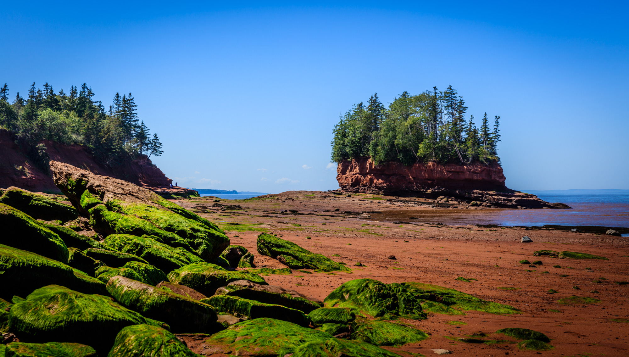
English: Home to the fastest tides in the world. At this park you can walk the shoreline at low tide and watch the island become a peninsula and then an island again. Pay attention to the tides, although the guides will warn you, they are fast and it is dangerous. |
| Date | |
| Source | Own work |
| Author | Shawn M. Kent |
| Camera location | | View this and other nearby images on: OpenStreetMap |
|---|
Licensing
I, the copyright holder of this work, hereby publish it under the following license:
This file is licensed under the Creative Commons Attribution 4.0 International license.
- You are free:
- to share – to copy, distribute and transmit the work
- to remix – to adapt the work
- Under the following conditions:
- attribution – You must give appropriate credit, provide a link to the license, and indicate if changes were made. You may do so in any reasonable manner, but not in any way that suggests the licensor endorses you or your use.
File history
Click on a date/time to view the file as it appeared at that time.
| Date/Time | Thumbnail | Dimensions | User | Comment | |
|---|---|---|---|---|---|
| current | 13:00, 27 January 2018 | | 2,000 × 1,135 (1,015 KB) | Shawn M. Kent | User created page with UploadWizard |
File usage
The following pages on the English Wikipedia use this file (pages on other projects are not listed):
Global file usage
The following other wikis use this file:
- Usage on el.wikipedia.org