
File:Arizona State Route 77 Between Snowflake, Arizona and Holbrook, Arizona.jpeg

Size of this preview: 800 × 600 pixels. Other resolutions: 320 × 240 pixels | 640 × 480 pixels | 1,024 × 768 pixels | 1,280 × 960 pixels | 2,560 × 1,920 pixels | 2,816 × 2,112 pixels.
Original file (2,816 × 2,112 pixels, file size: 1.89 MB, MIME type: image/jpeg)
| This is a file from the Wikimedia Commons. Information from its description page there is shown below. Commons is a freely licensed media file repository. You can help. |
Summary
| Description |
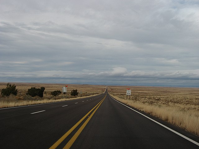
English: State Route 77 (or SR 77) is a state highway in Arizona that traverses much of the state's length, stretching from its northern terminus at the boundary of the Navajo Nation north of Holbrook to its junction with I-10 in Tucson.
At its southern terminus, north of Tucson, the road is known as Oracle Road until the final mile and a half when the road turns westward directly toward Interstate 10 and is called Miracle Mile Road, named such in 1962. |
| Source | https://www.flickr.com/photos/kenlund/5276723548/ |
| Author | Ken Lund |
Licensing
This file is licensed under the Creative Commons Attribution-Share Alike 2.0 Generic license.
- You are free:
- to share – to copy, distribute and transmit the work
- to remix – to adapt the work
- Under the following conditions:
- attribution – You must give appropriate credit, provide a link to the license, and indicate if changes were made. You may do so in any reasonable manner, but not in any way that suggests the licensor endorses you or your use.
- share alike – If you remix, transform, or build upon the material, you must distribute your contributions under the same or compatible license as the original.
| This image was originally posted to Flickr by Ken Lund at https://www.flickr.com/photos/75683070@N00/5276723548. It was reviewed on 15 November 2012 by FlickreviewR and was confirmed to be licensed under the terms of the cc-by-sa-2.0. |
File history
Click on a date/time to view the file as it appeared at that time.
| Date/Time | Thumbnail | Dimensions | User | Comment | |
|---|---|---|---|---|---|
| current | 21:10, 14 November 2012 | | 2,816 × 2,112 (1.89 MB) | CherryX | {{Information |Description ={{en|1=State Route 77 (or SR 77) is a state highway in Arizona that traverses much of the state's length, stretching from its northern terminus at the boundary of the Navajo Nation north of Holbrook to its junction with I... |
File usage
The following pages on the English Wikipedia use this file (pages on other projects are not listed):
Global file usage
The following other wikis use this file:
- Usage on de.wikipedia.org
- Usage on es.wikipedia.org
- Usage on www.wikidata.org