
File:Anseong-map.png

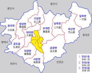
Size of this preview: 758 × 600 pixels. Other resolutions: 303 × 240 pixels | 607 × 480 pixels | 971 × 768 pixels | 1,280 × 1,013 pixels | 1,500 × 1,187 pixels.
Original file (1,500 × 1,187 pixels, file size: 511 KB, MIME type: image/png)
| This is a file from the Wikimedia Commons. Information from its description page there is shown below. Commons is a freely licensed media file repository. You can help. |
Summary
| Description |
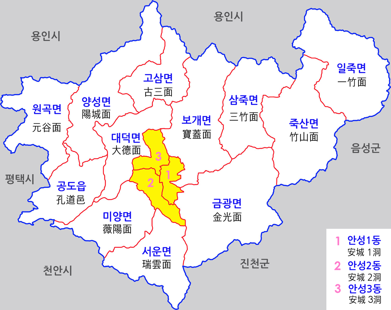
한국어: 경기도 안성시 행정구역도 |
| Date | |
| Source | Own work |
| Author | 장길산 |
Licensing
| I, the copyright holder of this work, release this work into the public domain. This applies worldwide. In some countries this may not be legally possible; if so: I grant anyone the right to use this work for any purpose, without any conditions, unless such conditions are required by law. |
File history
Click on a date/time to view the file as it appeared at that time.
| Date/Time | Thumbnail | Dimensions | User | Comment | |
|---|---|---|---|---|---|
| current | 03:07, 10 March 2013 | | 1,500 × 1,187 (511 KB) | Lightstar77 | |
| 15:20, 9 March 2013 |  | 1,500 × 1,187 (571 KB) | Lightstar77 | ||
| 15:06, 9 March 2013 |  | 1,500 × 1,187 (571 KB) | Lightstar77 | ||
| 04:29, 6 October 2012 |  | 1,500 × 1,187 (506 KB) | Gloyacks | 지명보강,행정구역수정 | |
| 05:27, 1 January 2012 |  | 1,500 × 1,187 (608 KB) | Gloyacks | {{파일 정보 |설명=경기도 안성시 행정구역도 |출처=자작 |날짜=2012년 1월 1일 |만든이=장길산 |저작권= |기타= }} |
File usage
The following pages on the English Wikipedia use this file (pages on other projects are not listed):
Global file usage
The following other wikis use this file: