
File:Anjediva isle map.jpg
No higher resolution available.
Anjediva_isle_map.jpg (366 × 210 pixels, file size: 22 KB, MIME type: image/jpeg)
| This is a file from the Wikimedia Commons. Information from its description page there is shown below. Commons is a freely licensed media file repository. You can help. |
Summary
| Description |
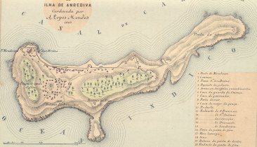
English: Map of the Isle of Anjediva (low resolution!) Português: Carta portuguesa da ilha de Anjediva (1885). |
|||||||||
| Date | ||||||||||
| Source | http://www.supergoa.com/pt/fortes/f_anjediva.asp | |||||||||
| Creator | ||||||||||
| Geotemporal data | ||||||||||
| Bounding box |
|
|||||||||
| Georeferencing | ||||||||||
Licensing
|
This work is in the public domain in its country of origin and other countries and areas where the copyright term is the author's life plus 100 years or fewer. | |
| This file has been identified as being free of known restrictions under copyright law, including all related and neighboring rights. | |
File history
Click on a date/time to view the file as it appeared at that time.
| Date/Time | Thumbnail | Dimensions | User | Comment | |
|---|---|---|---|---|---|
| current | 11:59, 5 February 2009 | | 366 × 210 (22 KB) | Sanfy | {{Information |Description={{en|1=Map of the Isle of Anjediva}} |Source=http://www.supergoa.com/pt/fortes/f_anjediva.asp |Author=http://www.supergoa.com/ |Date=2009-02-05 |Permission= |other_versions=No }} <!--{{ImageUpload|full}}--> Category:Goa |
File usage
The following pages on the English Wikipedia use this file (pages on other projects are not listed):
Global file usage
The following other wikis use this file:
- Usage on es.wikipedia.org
- Usage on fr.wikipedia.org
- Usage on gom.wikipedia.org
- Usage on kn.wikipedia.org
- Usage on pt.wikipedia.org
- Usage on zh.wikipedia.org